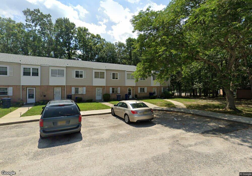
6037 Hoover Dr Unit 3D Mays Landing, NJ 08330
Estimated Value: $153,297 - $179,000
--
Bed
--
Bath
1,292
Sq Ft
$129/Sq Ft
Est. Value
About This Home
This home is located at 6037 Hoover Dr Unit 3D, Mays Landing, NJ 08330 and is currently estimated at $166,324, approximately $128 per square foot. 6037 Hoover Dr Unit 3D is a home located in Atlantic County with nearby schools including Joseph Shaner School, George L. Hess Educational Complex, and William Davies Middle School.
Ownership History
Date
Name
Owned For
Owner Type
Purchase Details
Closed on
Jun 7, 2007
Sold by
Clayton Brandi and Clayton Brandi Mirey
Bought by
Noble Antinique and Felix Jean
Current Estimated Value
Home Financials for this Owner
Home Financials are based on the most recent Mortgage that was taken out on this home.
Original Mortgage
$135,000
Outstanding Balance
$92,198
Interest Rate
6.17%
Mortgage Type
Purchase Money Mortgage
Estimated Equity
$74,126
Create a Home Valuation Report for This Property
The Home Valuation Report is an in-depth analysis detailing your home's value as well as a comparison with similar homes in the area
Home Values in the Area
Average Home Value in this Area
Purchase History
| Date | Buyer | Sale Price | Title Company |
|---|---|---|---|
| Noble Antinique | $135,000 | Surety Title Agency Of Atlan |
Source: Public Records
Mortgage History
| Date | Status | Borrower | Loan Amount |
|---|---|---|---|
| Open | Noble Antinique | $135,000 |
Source: Public Records
Tax History Compared to Growth
Tax History
| Year | Tax Paid | Tax Assessment Tax Assessment Total Assessment is a certain percentage of the fair market value that is determined by local assessors to be the total taxable value of land and additions on the property. | Land | Improvement |
|---|---|---|---|---|
| 2025 | $1,451 | $63,200 | $20,000 | $43,200 |
| 2024 | $1,451 | $42,300 | $4,500 | $37,800 |
| 2023 | $1,365 | $42,300 | $4,500 | $37,800 |
| 2022 | $1,365 | $42,300 | $4,500 | $37,800 |
| 2021 | $1,140 | $35,400 | $3,000 | $32,400 |
| 2020 | $1,140 | $35,400 | $3,000 | $32,400 |
| 2019 | $1,142 | $35,400 | $3,000 | $32,400 |
| 2018 | $1,102 | $35,400 | $3,000 | $32,400 |
| 2017 | $1,085 | $35,400 | $3,000 | $32,400 |
| 2016 | $1,195 | $40,100 | $5,000 | $35,100 |
| 2015 | $1,154 | $40,100 | $5,000 | $35,100 |
| 2014 | $1,476 | $56,200 | $5,000 | $51,200 |
Source: Public Records
Map
Nearby Homes
- 37 Delancy Ct
- 6310 Phillips Ave
- 6301 Knight Ave
- 6314 Lance Ave
- 87 Devon Rd
- 6202 Lance Ave
- 0 Harding Hwy Unit 597638
- 0 Harding Hwy Unit NJAC2019438
- 6206 Roberts Ave
- 6140 Robin Dr
- 16 Holly Ct
- 24 Holly Ct
- 0 Wheeling Ave Unit NJAC2018470
- 1 Walnut Ct
- 11 Maple Ct
- 13 Hickory Ln
- 14 Hickory Ln
- 39 Dogwood Ln Unit OAKS OF WEYMOUTH
- 39 Dogwood Ln
- 10 Locust Ct
- 6036 Hoover Dr
- 6035 Hoover Dr
- 6034 Hoover Dr Unit 3D
- 6038 Hoover Dr Unit 314
- 6033 Hoover Dr
- 6032 Hoover Dr
- 6031 Hoover Dr
- 6028 Hoover Dr Unit 2H
- 6025 Hoover Dr
- 6026 Hoover Dr
- 6024 Hoover Dr Unit 2D
- 6088 Hoover Dr Unit 8H
- 6023 Hoover Dr
- 6022 Hoover Dr
- 6021 Hoover Dr
- 6087 Hoover Dr
- 6086 Hoover Dr Unit 8F
- 6047 Hoover Dr
- 6048 Hoover Dr
- 6044 Hoover Dr