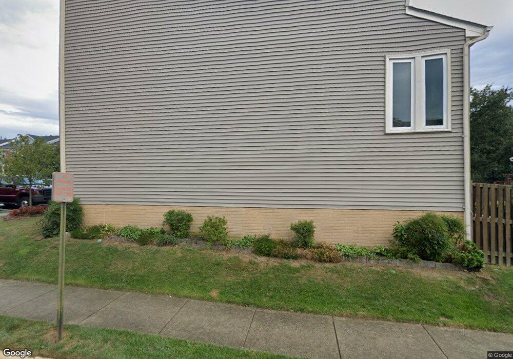
6037 Joust Ln Alexandria, VA 22315
Estimated Value: $606,000 - $660,000
3
Beds
4
Baths
1,232
Sq Ft
$525/Sq Ft
Est. Value
About This Home
This home is located at 6037 Joust Ln, Alexandria, VA 22315 and is currently estimated at $646,472, approximately $524 per square foot. 6037 Joust Ln is a home located in Fairfax County with nearby schools including Lane Elementary School, Hayfield Secondary School, and Calvary Road Christian School & Preschool.
Ownership History
Date
Name
Owned For
Owner Type
Purchase Details
Closed on
Jun 1, 2007
Sold by
Mckinley Craig C
Bought by
Hensley Kelly A
Current Estimated Value
Home Financials for this Owner
Home Financials are based on the most recent Mortgage that was taken out on this home.
Original Mortgage
$329,800
Interest Rate
6.3%
Mortgage Type
New Conventional
Create a Home Valuation Report for This Property
The Home Valuation Report is an in-depth analysis detailing your home's value as well as a comparison with similar homes in the area
Home Values in the Area
Average Home Value in this Area
Purchase History
| Date | Buyer | Sale Price | Title Company |
|---|---|---|---|
| Hensley Kelly A | $388,000 | -- |
Source: Public Records
Mortgage History
| Date | Status | Borrower | Loan Amount |
|---|---|---|---|
| Previous Owner | Hensley Kelly A | $329,800 |
Source: Public Records
Tax History Compared to Growth
Tax History
| Year | Tax Paid | Tax Assessment Tax Assessment Total Assessment is a certain percentage of the fair market value that is determined by local assessors to be the total taxable value of land and additions on the property. | Land | Improvement |
|---|---|---|---|---|
| 2025 | $6,554 | $614,040 | $200,000 | $414,040 |
| 2024 | $6,554 | $565,710 | $185,000 | $380,710 |
| 2023 | $6,177 | $547,400 | $175,000 | $372,400 |
| 2022 | $5,898 | $515,770 | $160,000 | $355,770 |
| 2021 | $5,724 | $487,750 | $140,000 | $347,750 |
| 2020 | $5,477 | $462,820 | $130,000 | $332,820 |
| 2019 | $5,101 | $431,050 | $121,000 | $310,050 |
| 2018 | $4,730 | $411,290 | $116,000 | $295,290 |
| 2017 | $4,608 | $396,930 | $113,000 | $283,930 |
| 2016 | $4,598 | $396,930 | $113,000 | $283,930 |
| 2015 | $4,430 | $396,930 | $113,000 | $283,930 |
| 2014 | $4,420 | $396,930 | $113,000 | $283,930 |
Source: Public Records
Map
Nearby Homes
- 7000 Gatton Square
- 7013 Birkenhead Place Unit F
- 7001 Birkenhead Place Unit C
- 6964 Ellingham Cir Unit D
- 5835 Norham Dr
- 6925 Mary Caroline Cir Unit H
- 7212 Lensfield Ct
- 6052A Essex House Square Unit 6052A
- 7228 Lensfield Ct
- 6005 Southward Way
- 5905 Saint Giles Way
- 7235 Worsley Way
- 6864F Brindle Heath Way Unit 208
- 6022B Curtier Dr Unit B
- 5321 Buxton Ct
- 6974 Cromarty Dr
- 5302 Ridley Ct
- 5606 Glenwood Mews Dr
- 7462 Towchester Ct
- 6822 Ericka Ave