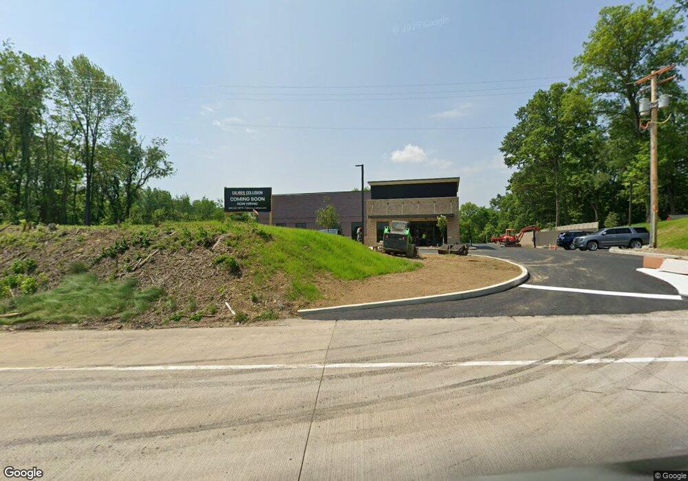
6037 William Penn Hwy Export, PA 15632
Estimated Value: $169,688 - $811,000
--
Bed
--
Bath
1,680
Sq Ft
$232/Sq Ft
Est. Value
About This Home
This home is located at 6037 William Penn Hwy, Export, PA 15632 and is currently estimated at $389,172, approximately $231 per square foot. 6037 William Penn Hwy is a home located in Westmoreland County with nearby schools including Franklin Regional Senior High School and Mother of Sorrows School.
Ownership History
Date
Name
Owned For
Owner Type
Purchase Details
Closed on
Feb 18, 2025
Sold by
Sun Shan Chyi and Sun Colette Chang
Bought by
Municipal Authority Of Westmoreland County
Current Estimated Value
Purchase Details
Closed on
Jul 25, 2024
Sold by
Sun Shan Chyi and Sun Colette Chang
Bought by
Vrd At Murrysville Llc
Home Financials for this Owner
Home Financials are based on the most recent Mortgage that was taken out on this home.
Original Mortgage
$3,707,327
Interest Rate
6.87%
Mortgage Type
New Conventional
Create a Home Valuation Report for This Property
The Home Valuation Report is an in-depth analysis detailing your home's value as well as a comparison with similar homes in the area
Home Values in the Area
Average Home Value in this Area
Purchase History
| Date | Buyer | Sale Price | Title Company |
|---|---|---|---|
| Municipal Authority Of Westmoreland County | -- | None Listed On Document | |
| Vrd At Murrysville Llc | -- | None Listed On Document |
Source: Public Records
Mortgage History
| Date | Status | Borrower | Loan Amount |
|---|---|---|---|
| Previous Owner | Vrd At Murrysville Llc | $3,707,327 |
Source: Public Records
Tax History Compared to Growth
Tax History
| Year | Tax Paid | Tax Assessment Tax Assessment Total Assessment is a certain percentage of the fair market value that is determined by local assessors to be the total taxable value of land and additions on the property. | Land | Improvement |
|---|---|---|---|---|
| 2025 | $969 | $5,100 | $5,100 | $0 |
| 2024 | $947 | $6,360 | $6,360 | $0 |
| 2023 | $890 | $6,360 | $6,360 | $0 |
| 2022 | $872 | $6,360 | $6,360 | $0 |
| 2021 | $853 | $6,360 | $6,360 | $0 |
| 2020 | $837 | $6,360 | $6,360 | $0 |
| 2019 | $820 | $6,360 | $6,360 | $0 |
| 2018 | $806 | $25,020 | $6,360 | $18,660 |
| 2017 | $3,103 | $25,020 | $6,360 | $18,660 |
| 2016 | $3,041 | $25,020 | $6,360 | $18,660 |
| 2015 | $3,041 | $25,020 | $6,360 | $18,660 |
| 2014 | $3,020 | $25,020 | $6,360 | $18,660 |
Source: Public Records
Map
Nearby Homes
- 2667 Puckety Dr
- 1213 Harrison Ct
- 5866 Claridge Rd
- 1044 Hillstone Village Dr
- 1316 S Valley Dr
- 5812 Torrance Dr
- 5801 Lincoln Ave
- 5800 Torrance Dr
- 5920 Lee Ave
- 2903 Italy Rd
- 2350 Mount Vernon Ave
- 309 Jefferson St
- 4009 Alexander Ct Unit 4009
- 4010 Alexander Ct Unit 4010
- 4012 Alexander Ct
- 6014 Brookside Dr
- 2300 Wheatland Cir Unit A
- 2945 Hills Church Rd
- 6715 Fieldcrest Dr
- 1009 Trail Side Ct Unit C
- 6037 William Penn Hwy
- 6999 Berkshire Dr
- 6997 Berkshire Dr
- 6995 Berkshire Dr
- 6996 Berkshire Dr
- 6993 Berkshire Dr
- 2401 Willow Dr
- 6094 Rt 22 W
- 6990 Berkshire Dr
- 6079 William Penn Hwy
- 6991 Berkshire Dr
- 2397 Willow Dr
- 2399 Willow Dr
- 2407 Willow Dr
- 2403 Willow Dr
- 6119 William Penn Hwy
- 2405 Willow Dr
- 2411 Willow Dr
- 2395 Willow Dr
- 6988 Berkshire Dr