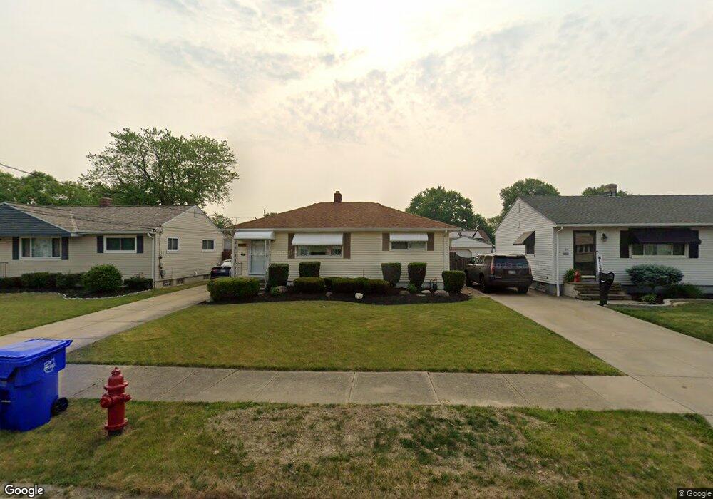
6039 Alvin Dr Brookpark, OH 44142
Estimated Value: $217,345 - $248,000
4
Beds
2
Baths
1,548
Sq Ft
$147/Sq Ft
Est. Value
About This Home
This home is located at 6039 Alvin Dr, Brookpark, OH 44142 and is currently estimated at $227,836, approximately $147 per square foot. 6039 Alvin Dr is a home located in Cuyahoga County with nearby schools including Berea-Midpark Middle School, Berea-Midpark High School, and Huber Heights Preparatory Academy Parma Academy.
Ownership History
Date
Name
Owned For
Owner Type
Purchase Details
Closed on
Sep 4, 2014
Sold by
Brookover Carl E and Brookover Sandra M
Bought by
Brookover Sandra M and Revocable Living Trust Of Sandra M Brook
Current Estimated Value
Purchase Details
Closed on
Nov 9, 2011
Sold by
Cayet Marvin R and Sherwood Terry L
Bought by
Brookover Carl E and Brookover Sandra M
Home Financials for this Owner
Home Financials are based on the most recent Mortgage that was taken out on this home.
Original Mortgage
$76,000
Outstanding Balance
$51,825
Interest Rate
4.02%
Mortgage Type
New Conventional
Estimated Equity
$176,011
Purchase Details
Closed on
Sep 22, 1999
Sold by
Cayet Raymond L and Cayet Dorothy E
Bought by
Cayet Raymond L and Cayet Dorothy E
Purchase Details
Closed on
Jul 27, 1976
Sold by
Cayet Raymond L
Bought by
Cayet Raymond L
Purchase Details
Closed on
Jan 1, 1975
Bought by
Cayet Raymond L
Create a Home Valuation Report for This Property
The Home Valuation Report is an in-depth analysis detailing your home's value as well as a comparison with similar homes in the area
Home Values in the Area
Average Home Value in this Area
Purchase History
| Date | Buyer | Sale Price | Title Company |
|---|---|---|---|
| Brookover Sandra M | -- | Attorney | |
| Brookover Carl E | $95,000 | Maximum Title | |
| Cayet Raymond L | -- | -- | |
| Cayet Raymond L | -- | -- | |
| Cayet Raymond L | -- | -- |
Source: Public Records
Mortgage History
| Date | Status | Borrower | Loan Amount |
|---|---|---|---|
| Open | Brookover Carl E | $76,000 |
Source: Public Records
Tax History Compared to Growth
Tax History
| Year | Tax Paid | Tax Assessment Tax Assessment Total Assessment is a certain percentage of the fair market value that is determined by local assessors to be the total taxable value of land and additions on the property. | Land | Improvement |
|---|---|---|---|---|
| 2024 | $2,774 | $53,795 | $11,200 | $42,595 |
| 2023 | $2,637 | $42,360 | $8,160 | $34,200 |
| 2022 | $2,619 | $42,350 | $8,160 | $34,200 |
| 2021 | $2,606 | $42,350 | $8,160 | $34,200 |
| 2020 | $2,349 | $33,600 | $6,480 | $27,130 |
| 2019 | $2,281 | $96,000 | $18,500 | $77,500 |
| 2018 | $2,271 | $33,600 | $6,480 | $27,130 |
| 2017 | $2,247 | $30,700 | $6,340 | $24,360 |
| 2016 | $2,228 | $30,700 | $6,340 | $24,360 |
| 2015 | $2,205 | $30,700 | $6,340 | $24,360 |
| 2014 | $2,205 | $32,310 | $6,690 | $25,620 |
Source: Public Records
Map
Nearby Homes
- 6054 Langer Dr
- 16051 Holland Rd
- 15924 Richard Dr
- 5966 Engle Rd
- 17810 Engle Ct
- 6363 Lockhaven Dr
- 6378 Edgehurst Dr
- 6470 Sandfield Dr
- 6195 Hardin Dr
- 14890 Holland Rd
- 6537 Liberty Bell Dr Unit 160
- 16193 Emerald Point Unit 16193
- 6577 Liberty Bell Dr Unit 20C
- 15446 Sheldon Rd
- 6401 Scott Dr
- 6728 Benedict Dr
- 6740 Benedict Dr
- 6755 Benedict Dr
- 6109 Westbrook Dr
- 6748 Benedict Dr