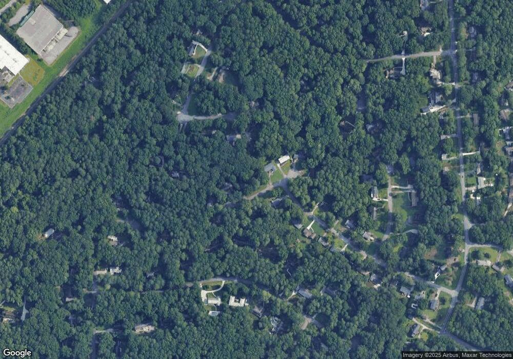
6039 Dee Ct Unit 4 Stone Mountain, GA 30087
Smoke Rise NeighborhoodEstimated Value: $401,071 - $429,000
4
Beds
3
Baths
2,346
Sq Ft
$175/Sq Ft
Est. Value
About This Home
This home is located at 6039 Dee Ct Unit 4, Stone Mountain, GA 30087 and is currently estimated at $410,018, approximately $174 per square foot. 6039 Dee Ct Unit 4 is a home located in Gwinnett County with nearby schools including Camp Creek Elementary School, Trickum Middle School, and Parkview High School.
Ownership History
Date
Name
Owned For
Owner Type
Purchase Details
Closed on
Jan 28, 1998
Sold by
Carey Martha S
Bought by
Bower David A and Bower Sharon E
Current Estimated Value
Home Financials for this Owner
Home Financials are based on the most recent Mortgage that was taken out on this home.
Original Mortgage
$96,000
Outstanding Balance
$15,756
Interest Rate
6.89%
Mortgage Type
New Conventional
Estimated Equity
$394,262
Create a Home Valuation Report for This Property
The Home Valuation Report is an in-depth analysis detailing your home's value as well as a comparison with similar homes in the area
Home Values in the Area
Average Home Value in this Area
Purchase History
| Date | Buyer | Sale Price | Title Company |
|---|---|---|---|
| Bower David A | $128,000 | -- |
Source: Public Records
Mortgage History
| Date | Status | Borrower | Loan Amount |
|---|---|---|---|
| Open | Bower David A | $96,000 |
Source: Public Records
Tax History
| Year | Tax Paid | Tax Assessment Tax Assessment Total Assessment is a certain percentage of the fair market value that is determined by local assessors to be the total taxable value of land and additions on the property. | Land | Improvement |
|---|---|---|---|---|
| 2025 | $4,042 | $158,520 | $22,200 | $136,320 |
| 2024 | $4,195 | $159,400 | $22,200 | $137,200 |
| 2023 | $4,195 | $152,520 | $24,000 | $128,520 |
| 2022 | $3,487 | $126,920 | $24,000 | $102,920 |
| 2021 | $2,888 | $95,840 | $17,200 | $78,640 |
| 2020 | $2,909 | $95,840 | $17,200 | $78,640 |
| 2019 | $2,661 | $87,160 | $14,000 | $73,160 |
| 2018 | $2,566 | $82,720 | $14,000 | $68,720 |
| 2016 | $2,376 | $72,840 | $14,000 | $58,840 |
| 2015 | $2,266 | $67,080 | $14,000 | $53,080 |
| 2014 | $2,042 | $56,440 | $14,000 | $42,440 |
Source: Public Records
Map
Nearby Homes
- 6068 Dee Ct
- 353 Old Rosser Rd
- 292 Old Rosser Rd
- 2350 Oxbow Cir
- 5007 Oakwood Dr
- 5009 Oakwood Dr
- 5013 Oakwood Dr
- 5005 Oakwood Dr
- 5011 Oakwood Dr
- 5015 Oakwood Dr
- 507 Castleaire Dr Unit 1
- 29 Lankford Rd
- 5890 Stow Dr
- 5087 Antelope Ln
- 5825 Golden West Trail SW
- 127 Old Rosser Rd SW
- 164 Thorncrest Ct
- 2173 Spencers Way
- 262 Harmony Grove Rd
- 5505 Princeton Run Trail
- 6049 Dee Ct Unit 4
- 6029 Dee Ct
- 6019 Dee Ct
- 6059 Dee Ct
- 6038 Dee Ct Unit 4
- 107 Roe Hampton Ln
- 6048 Dee Ct Unit 4
- 100 Roe Hampton Ln
- 6009 Dee Ct
- 308 Hightower Trail
- 6008 Dee Ct
- 117 Roe Hampton Ln
- 309 Hightower Trail
- 6069 Dee Ct
- 106 Roe Hampton Ln
- 5384 Pheasant Run
- 318 Hightower Trail Unit 3
- 127 Roe Hampton Ln SW
- 319 Hightower Trail SW
- 319 Hightower Trail
Your Personal Tour Guide
Ask me questions while you tour the home.
