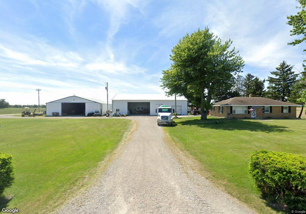
6039 Milton Rd Custar, OH 43511
Estimated Value: $165,623 - $344,000
3
Beds
2
Baths
1,242
Sq Ft
$182/Sq Ft
Est. Value
About This Home
This home is located at 6039 Milton Rd, Custar, OH 43511 and is currently estimated at $225,541, approximately $181 per square foot. 6039 Milton Rd is a home located in Wood County with nearby schools including McComb Elementary School, McComb Middle School, and Mccomb Local High School.
Ownership History
Date
Name
Owned For
Owner Type
Purchase Details
Closed on
Apr 16, 2021
Sold by
Sautter Kris E and Webb Storm L
Bought by
Stott Mark and Stott Pamela
Current Estimated Value
Home Financials for this Owner
Home Financials are based on the most recent Mortgage that was taken out on this home.
Original Mortgage
$92,000
Outstanding Balance
$74,856
Interest Rate
3%
Mortgage Type
Future Advance Clause Open End Mortgage
Estimated Equity
$150,685
Purchase Details
Closed on
May 7, 2020
Sold by
Stott Cloyce R and Stott Mark
Bought by
Stott Mark
Purchase Details
Closed on
May 13, 2016
Sold by
Cloyce Stott
Bought by
Cloyce R Stott
Purchase Details
Closed on
May 23, 1989
Bought by
Stott Cloyce
Create a Home Valuation Report for This Property
The Home Valuation Report is an in-depth analysis detailing your home's value as well as a comparison with similar homes in the area
Purchase History
| Date | Buyer | Sale Price | Title Company |
|---|---|---|---|
| Stott Mark | $60,000 | None Available | |
| Stott Mark | $30,000 | None Available | |
| Stott Mark | -- | None Available | |
| Cloyce R Stott | -- | -- | |
| Stott Cloyce | $250,000 | -- |
Source: Public Records
Mortgage History
| Date | Status | Borrower | Loan Amount |
|---|---|---|---|
| Open | Stott Mark | $92,000 | |
| Closed | Stott Mark | $50,000 |
Source: Public Records
Tax History
| Year | Tax Paid | Tax Assessment Tax Assessment Total Assessment is a certain percentage of the fair market value that is determined by local assessors to be the total taxable value of land and additions on the property. | Land | Improvement |
|---|---|---|---|---|
| 2025 | $2,746 | $83,335 | $10,325 | $73,010 |
| 2024 | $2,730 | $83,335 | $10,325 | $73,010 |
| 2023 | $2,730 | $83,340 | $10,330 | $73,010 |
| 2021 | $2,754 | $69,480 | $8,370 | $61,110 |
| 2020 | $2,393 | $69,480 | $8,370 | $61,110 |
| 2019 | $2,159 | $63,640 | $8,090 | $55,550 |
| 2018 | $2,093 | $63,640 | $8,090 | $55,550 |
| 2017 | $2,032 | $63,640 | $8,090 | $55,550 |
| 2016 | $1,902 | $62,310 | $5,850 | $56,460 |
| 2015 | $1,902 | $62,310 | $5,850 | $56,460 |
| 2014 | $1,990 | $62,550 | $5,850 | $56,700 |
| 2013 | $553 | $36,300 | $5,180 | $31,120 |
Source: Public Records
Map
Nearby Homes
- 24642 Hammansburg Rd
- 0 Hockenberry Rd
- 0 Deshler Rd
- 22759 Defiance Pike
- 23117 Defiance Pike
- 2970 Otsego Pike
- 117 Meadow Ln
- 115 Meadow Ln
- 113 N Meadow Ln
- 116 Meadow Ln
- 119 N Harvest St
- 112 N Harvest Dr
- 121 N Harvest St
- 118 N Harvest Dr
- 120 N Harvest Dr
- 102 N Harvest Dr
- 107 N Harvest St
- 125 N Harvest Dr
- 117 N Harvest St
- 123 N Harvest St
Your Personal Tour Guide
Ask me questions while you tour the home.