6039 N Shingle Mill Rd Bloomfield, IN 47424
Estimated Value: $115,000 - $179,000
2
Beds
1
Bath
1,168
Sq Ft
$127/Sq Ft
Est. Value
About This Home
This home is located at 6039 N Shingle Mill Rd, Bloomfield, IN 47424 and is currently estimated at $147,983, approximately $126 per square foot. 6039 N Shingle Mill Rd is a home with nearby schools including Bloomfield Elementary School and Bloomfield Junior/Senior High School.
Ownership History
Date
Name
Owned For
Owner Type
Purchase Details
Closed on
Oct 28, 2024
Sold by
Fuller Evan J
Bought by
Fuller Evan J and Fuller Michaela L
Current Estimated Value
Purchase Details
Closed on
Dec 4, 2020
Sold by
Triple R Sullivivan Farm Llc
Bought by
Fuller Evan
Create a Home Valuation Report for This Property
The Home Valuation Report is an in-depth analysis detailing your home's value as well as a comparison with similar homes in the area
Home Values in the Area
Average Home Value in this Area
Purchase History
| Date | Buyer | Sale Price | Title Company |
|---|---|---|---|
| Fuller Evan J | -- | None Listed On Document | |
| Fuller Evan | -- | None Available |
Source: Public Records
Tax History Compared to Growth
Tax History
| Year | Tax Paid | Tax Assessment Tax Assessment Total Assessment is a certain percentage of the fair market value that is determined by local assessors to be the total taxable value of land and additions on the property. | Land | Improvement |
|---|---|---|---|---|
| 2024 | $322 | $62,100 | $17,300 | $44,800 |
| 2023 | $311 | $61,600 | $17,300 | $44,300 |
| 2022 | $1,251 | $63,100 | $17,300 | $45,800 |
| 2021 | $1,183 | $58,400 | $17,300 | $41,100 |
| 2020 | $341 | $58,800 | $17,300 | $41,500 |
| 2019 | $1,123 | $99,900 | $19,900 | $80,000 |
| 2018 | $1,122 | $100,000 | $20,000 | $80,000 |
| 2017 | $1,665 | $129,800 | $54,200 | $75,600 |
| 2016 | $1,776 | $131,800 | $57,800 | $74,000 |
| 2014 | $1,462 | $135,300 | $57,800 | $77,500 |
| 2013 | -- | $121,000 | $52,300 | $68,700 |
Source: Public Records
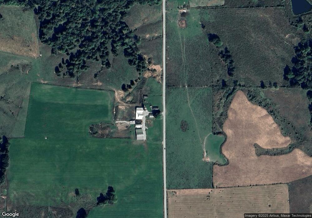
Map
Nearby Homes
- 5746 N La Salle Estates Ln
- 5746 N La Salle Estates Dr
- 6257 E Calvertville Rd
- TBD N Ferry Rd
- 1889 E Frye Rd
- 0 Newark Rd Unit MBR22060733
- 7339 E McVille Rd
- Northwood Lane N Northwood Ln
- RICHLAND CREEK CT E Richland Creek Ct
- 5276 N Blue Heron Rd
- 960 N Blue Barn Rd
- 874 N Corwin Rd
- 5195 E State Road 54
- 7289 Abrell Rd
- TBD N Legion Rd
- 2761 W Porter Ridge Rd
- 7000 S US Highway 231
- 9643 E McVille Rd
- 0 N Newark Rd
- 918 N Harv Wright Rd
- 6304 N Shingle Mill Rd
- 4442 E Kelly Branch Rd
- 5656 N Cox Dr
- 5684 N Cox Dr
- 5654 N Cox Rd
- N Shingle Mill Rd
- 6495 N Shingle Mill Rd
- 4258 E Calvertville Rd
- 5643 N Lasalle Estates Ln
- 0 N Lasalle Estates Ln
- 5990 N Lasalle Estates Ln
- 5643 N Lasalle Estates Ln
- 00 E Calvertville Rd
- 0 E Calvertville Rd
- 4611 E Calvertville Rd
- 5916 N Anderson Ln
- 3846 E Kelly Branch Rd
- 6728 N Shingle Mill Rd
- 3693 E Kelly Branch Rd