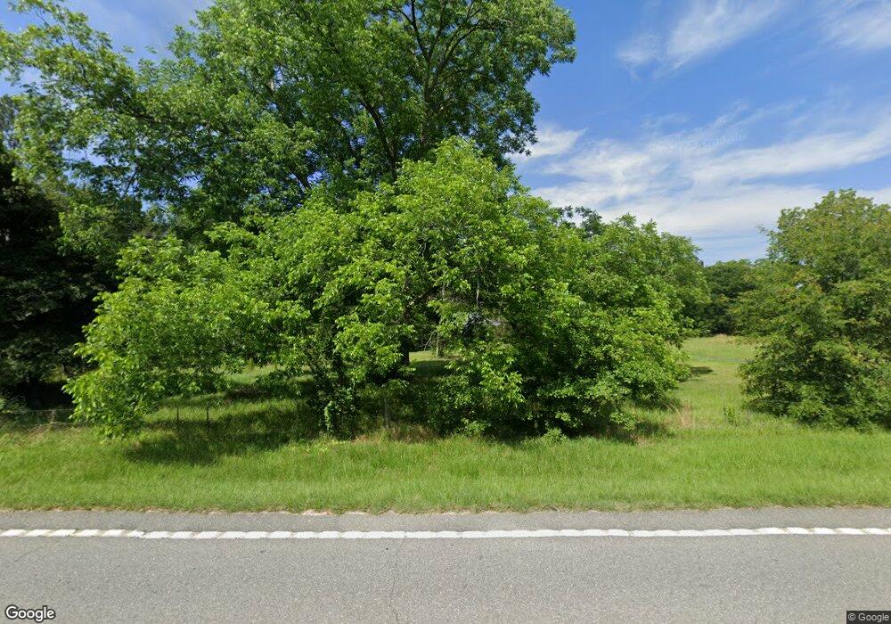
6039 Us Highway 41 N Ashburn, GA 31714
Estimated Value: $133,000 - $348,000
3
Beds
2
Baths
1,561
Sq Ft
$150/Sq Ft
Est. Value
About This Home
This home is located at 6039 Us Highway 41 N, Ashburn, GA 31714 and is currently estimated at $234,862, approximately $150 per square foot. 6039 Us Highway 41 N is a home located in Turner County with nearby schools including Turner County Elementary School, Turner County Middle School, and Turner County High School.
Ownership History
Date
Name
Owned For
Owner Type
Purchase Details
Closed on
Jun 15, 2006
Sold by
Boyett Carlton
Bought by
Schneider Randall G and Schneider Christine J
Current Estimated Value
Home Financials for this Owner
Home Financials are based on the most recent Mortgage that was taken out on this home.
Original Mortgage
$0
Interest Rate
6.57%
Mortgage Type
New Conventional
Purchase Details
Closed on
Sep 26, 1997
Sold by
Southern Tim Prod
Bought by
Boyett Carlton and Boyett Pen
Create a Home Valuation Report for This Property
The Home Valuation Report is an in-depth analysis detailing your home's value as well as a comparison with similar homes in the area
Home Values in the Area
Average Home Value in this Area
Purchase History
| Date | Buyer | Sale Price | Title Company |
|---|---|---|---|
| Schneider Randall G | $155,000 | -- | |
| Boyett Carlton | $3,500 | -- | |
| Boyett Carlton | $9,300 | -- |
Source: Public Records
Mortgage History
| Date | Status | Borrower | Loan Amount |
|---|---|---|---|
| Closed | Schneider Randall G | $0 | |
| Closed | Schneider Randall G | $0 |
Source: Public Records
Tax History Compared to Growth
Tax History
| Year | Tax Paid | Tax Assessment Tax Assessment Total Assessment is a certain percentage of the fair market value that is determined by local assessors to be the total taxable value of land and additions on the property. | Land | Improvement |
|---|---|---|---|---|
| 2024 | $1,530 | $64,690 | $17,505 | $47,185 |
| 2023 | $1,344 | $51,045 | $9,895 | $41,150 |
| 2022 | $1,344 | $51,045 | $9,895 | $41,150 |
| 2021 | $1,344 | $51,045 | $9,895 | $41,150 |
| 2020 | $1,568 | $51,045 | $9,895 | $41,150 |
| 2019 | $1,569 | $51,045 | $9,895 | $41,150 |
| 2018 | $1,633 | $51,045 | $9,895 | $41,150 |
| 2017 | $1,633 | $51,045 | $9,895 | $41,150 |
| 2016 | $1,634 | $51,045 | $9,895 | $41,150 |
| 2015 | -- | $51,044 | $9,895 | $41,150 |
| 2014 | -- | $51,044 | $9,895 | $41,150 |
Source: Public Records
Map
Nearby Homes
- 104 4th St
- 221 1st St W
- 0 Julianne Rd Unit 10585704
- 0 Lost Rd
- 501 Southern Lakes Dr
- 672 Brock Rd
- 330 Warwick Hwy
- 2728 Ga Hwy 159
- 846 Hawpond Rd
- 445 Hodge King Dr
- 660 Cedar Dr
- 790 S Hwy 33
- 626 Grand St
- 335 Mclendon St
- 243 E College Ave
- 0 N Gordon St
- 372 E College Ave
- 6401 Georgia 112
- 6401 & 6325 Georgia 112
- 0 Eagle Ct Unit 135425
