60396 Stoney Point Rd Vernonia, OR 97064
Estimated Value: $615,602 - $697,000
3
Beds
2
Baths
1,840
Sq Ft
$357/Sq Ft
Est. Value
About This Home
This home is located at 60396 Stoney Point Rd, Vernonia, OR 97064 and is currently estimated at $656,301, approximately $356 per square foot. 60396 Stoney Point Rd is a home located in Columbia County with nearby schools including Vernonia High School.
Ownership History
Date
Name
Owned For
Owner Type
Purchase Details
Closed on
Apr 9, 2012
Sold by
West Coast Bank
Bought by
Ragsdale Kennedy A and Ragsdale Kimberly A
Current Estimated Value
Home Financials for this Owner
Home Financials are based on the most recent Mortgage that was taken out on this home.
Original Mortgage
$282,648
Outstanding Balance
$194,859
Interest Rate
3.87%
Mortgage Type
FHA
Estimated Equity
$461,442
Purchase Details
Closed on
Aug 17, 2010
Sold by
Casteel Thomas L and Casteel Patricia L
Bought by
West Coast Bank
Create a Home Valuation Report for This Property
The Home Valuation Report is an in-depth analysis detailing your home's value as well as a comparison with similar homes in the area
Home Values in the Area
Average Home Value in this Area
Purchase History
| Date | Buyer | Sale Price | Title Company |
|---|---|---|---|
| Ragsdale Kennedy A | $290,000 | Ticor Title | |
| West Coast Bank | $341,220 | Ticor Title |
Source: Public Records
Mortgage History
| Date | Status | Borrower | Loan Amount |
|---|---|---|---|
| Open | Ragsdale Kennedy A | $282,648 |
Source: Public Records
Tax History Compared to Growth
Tax History
| Year | Tax Paid | Tax Assessment Tax Assessment Total Assessment is a certain percentage of the fair market value that is determined by local assessors to be the total taxable value of land and additions on the property. | Land | Improvement |
|---|---|---|---|---|
| 2024 | $3,934 | $311,762 | $144,962 | $166,800 |
| 2023 | $3,910 | $302,682 | $140,572 | $162,110 |
| 2022 | $3,697 | $293,870 | $136,270 | $157,600 |
| 2021 | $3,593 | $285,315 | $128,345 | $156,970 |
| 2020 | $3,069 | $242,402 | $95,422 | $146,980 |
| 2019 | $2,797 | $235,349 | $93,379 | $141,970 |
| 2018 | $2,784 | $228,495 | $100,015 | $128,480 |
| 2017 | $2,725 | $221,848 | $97,108 | $124,740 |
| 2016 | $2,583 | $215,387 | $94,277 | $121,110 |
| 2015 | $2,294 | $198,735 | $94,455 | $104,280 |
| 2014 | $2,314 | $192,947 | $89,927 | $103,020 |
Source: Public Records
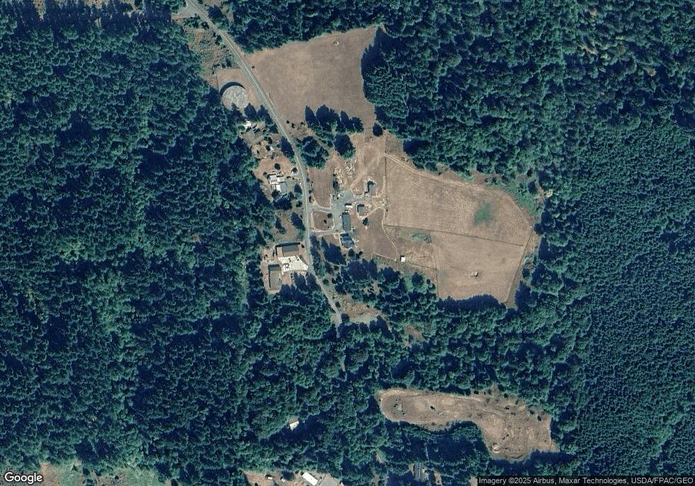
Map
Nearby Homes
- 0 Keasey Rd Unit 518725712
- 0000 Keasey Rd
- 251 E I St
- 233 E I St
- 158 E H St
- 144 E H St
- 0 Nehalem Hwy N
- 1852 N Mist Dr
- 0 Ave Unit 439855536
- 344 Mississippi Ave
- 176 North St
- 1160 Rose Ave
- 821 Bridge St
- 441 North St
- 959 Spencer Ave
- 935 Spencer Ave
- 875 Park Dr
- 1400 E Knott St
- 1142 Clatsop St
- 1131 Clatsop St
- 60435 Stoney Point Rd
- 60363 Stoney Point Rd
- 60471 Stoney Point Rd
- 60265 Stoney Point Rd
- 60236 Stoney Point Rd
- 60201 Stoney Point Rd
- 60175 Stoney Point Rd
- 60220 Stoney Point Rd
- 60628 Stoney Point Rd
- 60204 Stoney Point Rd
- 60160 Stoney Point Rd
- 602011 Stoney Point Rd
- 60690 Stoney Point Rd
- 60090 Stoney Point Rd
- 18275 Keasey Rd
- 18235 Keasey Rd
- 18537 Mellinger Rd
- 18731 Mellinger Rd
- 18368 Mellinger Rd
- 18539 Mellinger Rd