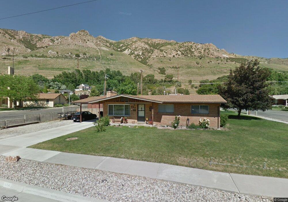
604 Anderson Dr Brigham City, UT 84302
Estimated Value: $384,000 - $442,000
Studio
--
Bath
1,125
Sq Ft
$360/Sq Ft
Est. Value
About This Home
This home is located at 604 Anderson Dr, Brigham City, UT 84302 and is currently estimated at $405,063, approximately $360 per square foot. 604 Anderson Dr is a home located in Box Elder County with nearby schools including Golden Spike Elementary, Box Elder Middle School, and Adele C. Young Intermediate School.
Ownership History
Date
Name
Owned For
Owner Type
Purchase Details
Closed on
Oct 13, 2022
Sold by
Compton Brian and Compton Shauna
Bought by
Dickey Aubrey and Dickey Matthew
Current Estimated Value
Home Financials for this Owner
Home Financials are based on the most recent Mortgage that was taken out on this home.
Original Mortgage
$371,025
Outstanding Balance
$356,068
Interest Rate
5.66%
Mortgage Type
New Conventional
Estimated Equity
$48,995
Create a Home Valuation Report for This Property
The Home Valuation Report is an in-depth analysis detailing your home's value as well as a comparison with similar homes in the area
Purchase History
| Date | Buyer | Sale Price | Title Company |
|---|---|---|---|
| Dickey Aubrey | -- | Title Guarantee Settlement Ser |
Source: Public Records
Mortgage History
| Date | Status | Borrower | Loan Amount |
|---|---|---|---|
| Open | Dickey Aubrey | $371,025 |
Source: Public Records
Tax History
| Year | Tax Paid | Tax Assessment Tax Assessment Total Assessment is a certain percentage of the fair market value that is determined by local assessors to be the total taxable value of land and additions on the property. | Land | Improvement |
|---|---|---|---|---|
| 2025 | $2,108 | $362,478 | $105,000 | $257,478 |
| 2024 | $1,845 | $355,109 | $100,000 | $255,109 |
| 2023 | $1,904 | $375,271 | $95,000 | $280,271 |
| 2022 | $1,898 | $191,307 | $22,000 | $169,307 |
| 2021 | $1,451 | $217,041 | $40,000 | $177,041 |
| 2020 | $1,336 | $217,041 | $40,000 | $177,041 |
| 2019 | $1,251 | $108,171 | $22,000 | $86,171 |
| 2018 | $1,128 | $96,931 | $22,000 | $74,931 |
| 2017 | $1,037 | $154,401 | $16,500 | $124,401 |
| 2016 | $1,085 | $81,663 | $16,500 | $65,163 |
| 2015 | $1,006 | $75,739 | $16,500 | $59,239 |
| 2014 | $1,006 | $72,918 | $16,500 | $56,418 |
| 2013 | -- | $72,918 | $16,500 | $56,418 |
Source: Public Records
Map
Nearby Homes
- 904 Sunset Dr
- 607 Holiday Dr
- 728 N Highland Blvd
- 734 Fairview Dr
- 425 N Highland Blvd
- 621 N 300 E
- 771 N 300 E
- 258 N 500 E
- 107 E 600 N
- 437 N 200 E
- 1066 Beecher Ave
- 1228 Sheri Cir
- 410 N Main St Unit 41
- 410 N Main St Unit 15
- 1389 Kotter Dr Unit 47
- 2216 S 700 W
- 225 N Main St
- 507 N 200 W
- 64 N Bywater Way
- 81 W 925 N
- 605 Anderson Dr
- 997 Sunset Dr
- 998 Sunset Dr
- 625 Anderson Dr
- 945 Sunset Dr
- 560 Holiday Dr
- 1011 Sunset Dr
- 1010 Sunset Dr
- 610 Holiday Dr
- 637 Anderson Dr
- 550 Holiday Dr
- 1022 Sunset Dr
- 1015 Cranton Place
- 1025 Sunset Dr
- 903 Sunset Dr
- 903 Sunset Dr
- 622 Holiday Dr
- 538 Holiday Dr
- 561 Holiday Dr
- 649 Anderson Dr
Your Personal Tour Guide
Ask me questions while you tour the home.