604 Ants Hill Rd Bloomsburg, PA 17815
Estimated Value: $85,000 - $183,000
--
Bed
--
Bath
1,552
Sq Ft
$92/Sq Ft
Est. Value
About This Home
This home is located at 604 Ants Hill Rd, Bloomsburg, PA 17815 and is currently estimated at $142,230, approximately $91 per square foot. 604 Ants Hill Rd is a home located in Columbia County with nearby schools including Millville Area Elementary School and Millville Area Junior/Senior High School.
Ownership History
Date
Name
Owned For
Owner Type
Purchase Details
Closed on
Mar 7, 2013
Sold by
Beneficial Consumer Discount Company
Bought by
Eyer Byron James and Eyer Amanda Nicole
Current Estimated Value
Purchase Details
Closed on
Feb 26, 2013
Sold by
Snyder Irvin L and Snyder Doyleen J
Bought by
Beneficial Consumer Discounty Company and Beneficial Mortgage Co Of Pennsylvania
Create a Home Valuation Report for This Property
The Home Valuation Report is an in-depth analysis detailing your home's value as well as a comparison with similar homes in the area
Home Values in the Area
Average Home Value in this Area
Purchase History
| Date | Buyer | Sale Price | Title Company |
|---|---|---|---|
| Eyer Byron James | $47,500 | None Available | |
| Beneficial Consumer Discounty Company | $4,037 | None Available |
Source: Public Records
Tax History Compared to Growth
Tax History
| Year | Tax Paid | Tax Assessment Tax Assessment Total Assessment is a certain percentage of the fair market value that is determined by local assessors to be the total taxable value of land and additions on the property. | Land | Improvement |
|---|---|---|---|---|
| 2025 | $2,214 | $28,152 | $0 | $0 |
| 2024 | $2,134 | $28,152 | $7,675 | $20,477 |
| 2023 | $1,942 | $28,152 | $7,675 | $20,477 |
| 2022 | $1,878 | $28,152 | $7,675 | $20,477 |
| 2021 | $1,614 | $24,912 | $7,675 | $17,237 |
| 2020 | $1,558 | $24,912 | $7,675 | $17,237 |
| 2019 | $1,558 | $24,912 | $7,675 | $17,237 |
| 2018 | $1,552 | $24,912 | $7,675 | $17,237 |
| 2017 | $1,527 | $24,912 | $7,675 | $17,237 |
| 2016 | -- | $24,912 | $7,675 | $17,237 |
| 2015 | -- | $24,912 | $7,675 | $17,237 |
| 2014 | -- | $24,319 | $7,675 | $16,644 |
Source: Public Records
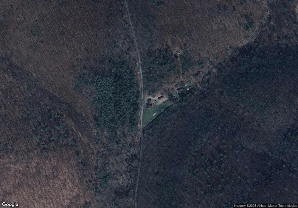
Map
Nearby Homes
- 181B Katys Church Rd
- 720 Sones Rd
- 190 Foggy Mountain Rd
- 53 Airport Rd
- 0 Maple Ridge Rd
- 13 Washingtonville Rd
- 60 3rd St
- 259 N Chestnut St
- 3041 Pennsylvania 42
- 163 E Main St
- 516 Washingtonville Rd
- 2910 Pennsylvania 42
- 459-463 Danville Rd
- 0 Shingle Run Rd
- 175 Hemlock Ln
- 93 Woodside Rd
- 0 Gordner Church Rd
- 109 Sereno Hollow Rd
- 4 Eyersgrove Rd
- 4435 Moreland Baptist Rd
- 33B Gray Hollow Rd
- 33A Gray Hollow Rd
- 33C Gray Hollow Rd
- 356 Katys Church Rd
- 347 Katys Church Rd
- 339 Katys Church Rd
- 696 Ants Hill Rd
- 316 Katys Church Rd
- 361 Katys Church Rd
- 286 Katys Church Rd
- 386 Katys Church Rd
- 406 Katys Church Rd
- 0 Katys Church Rd
- 000 Katys Church Rd
- 397 Katys Church Rd
- 454 Ants Hill Rd
- 455 Ants Hill Rd
- 429 Ants Hill Rd
- 276 Katys Church Rd
- 244 Katys Church Rd