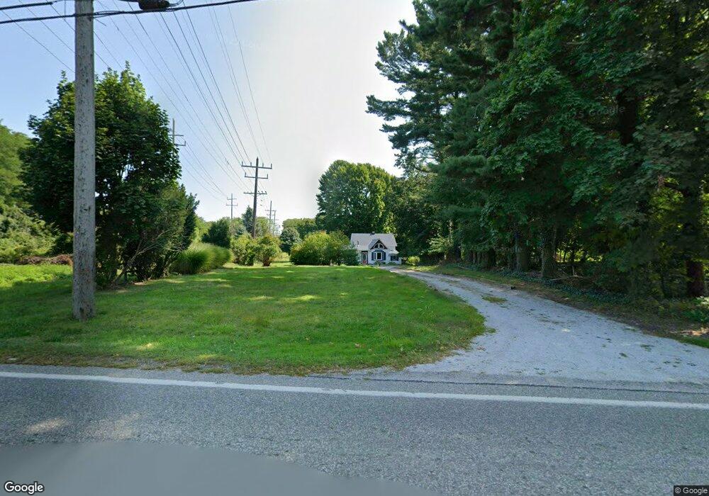
604 Bowhall Rd Painesville, OH 44077
Estimated Value: $183,438 - $211,000
2
Beds
1
Bath
1,362
Sq Ft
$145/Sq Ft
Est. Value
About This Home
This home is located at 604 Bowhall Rd, Painesville, OH 44077 and is currently estimated at $197,360, approximately $144 per square foot. 604 Bowhall Rd is a home located in Lake County with nearby schools including Henry F. Lamuth Middle School, Riverside Junior/Senior High School, and Summit Academy Community School - Painesville.
Ownership History
Date
Name
Owned For
Owner Type
Purchase Details
Closed on
Aug 28, 2002
Sold by
Garner Marlene A and Garner Richard R
Bought by
Daiello Joseph J
Current Estimated Value
Home Financials for this Owner
Home Financials are based on the most recent Mortgage that was taken out on this home.
Original Mortgage
$106,000
Outstanding Balance
$45,312
Interest Rate
6.56%
Estimated Equity
$152,048
Purchase Details
Closed on
Aug 20, 2001
Sold by
Kallay Mary A
Bought by
Garner Marlene A
Purchase Details
Closed on
Mar 19, 1998
Sold by
Kallay Mary A
Bought by
Kallay Mary A and Garner Marlene A
Purchase Details
Closed on
Nov 16, 1989
Bought by
Kallay Mary A
Create a Home Valuation Report for This Property
The Home Valuation Report is an in-depth analysis detailing your home's value as well as a comparison with similar homes in the area
Home Values in the Area
Average Home Value in this Area
Purchase History
| Date | Buyer | Sale Price | Title Company |
|---|---|---|---|
| Daiello Joseph J | $106,000 | -- | |
| Garner Marlene A | -- | -- | |
| Kallay Mary A | -- | -- | |
| Kallay Mary A | -- | -- |
Source: Public Records
Mortgage History
| Date | Status | Borrower | Loan Amount |
|---|---|---|---|
| Open | Daiello Joseph J | $106,000 |
Source: Public Records
Tax History Compared to Growth
Tax History
| Year | Tax Paid | Tax Assessment Tax Assessment Total Assessment is a certain percentage of the fair market value that is determined by local assessors to be the total taxable value of land and additions on the property. | Land | Improvement |
|---|---|---|---|---|
| 2024 | -- | $50,080 | $11,400 | $38,680 |
| 2023 | $4,437 | $40,720 | $8,830 | $31,890 |
| 2022 | $2,399 | $40,720 | $8,830 | $31,890 |
| 2021 | $2,595 | $40,720 | $8,830 | $31,890 |
| 2020 | $2,372 | $35,410 | $7,680 | $27,730 |
| 2019 | $2,490 | $35,410 | $7,680 | $27,730 |
| 2018 | $2,514 | $36,440 | $11,000 | $25,440 |
| 2017 | $2,539 | $36,440 | $11,000 | $25,440 |
| 2016 | $2,353 | $36,440 | $11,000 | $25,440 |
| 2015 | $2,086 | $36,440 | $11,000 | $25,440 |
| 2014 | $2,121 | $36,440 | $11,000 | $25,440 |
| 2013 | $2,072 | $36,440 | $11,000 | $25,440 |
Source: Public Records
Map
Nearby Homes
- 0 N Ridge Rd Unit 5110949
- 500 Park Rd
- 1787 Muirfield Ln
- 389 Sand Trap Cir
- 396 Park Rd
- 399 Sandtrap Cir
- 1182 Dalton Dr
- 1172 Dalton Dr
- 1598 Bogie Ln
- 525 Morgan Dr
- 499 Sand Trap Cir
- 547 Greenside Dr
- 269 Hale Rd
- 43 Bristol Ave
- V/L Morgan Dr
- 108 Birch Dr
- 1791 Muirfield Ln
- 1865 Marsh Ln Unit 1865
- 44 Grove Ave
- 1806 Muirfield Ln