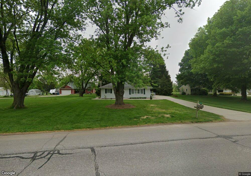
604 Bristol Ave Middlebury, IN 46540
Estimated Value: $216,000 - $306,000
3
Beds
2
Baths
1,080
Sq Ft
$231/Sq Ft
Est. Value
About This Home
This home is located at 604 Bristol Ave, Middlebury, IN 46540 and is currently estimated at $248,954, approximately $230 per square foot. 604 Bristol Ave is a home located in Elkhart County with nearby schools including Heritage Intermediate School, York Elementary School, and Northridge Middle School.
Ownership History
Date
Name
Owned For
Owner Type
Purchase Details
Closed on
May 23, 2006
Sold by
Schrock Linfred A and Schrock Gail L
Bought by
Miller Philip M
Current Estimated Value
Home Financials for this Owner
Home Financials are based on the most recent Mortgage that was taken out on this home.
Original Mortgage
$104,000
Outstanding Balance
$60,782
Interest Rate
6.56%
Mortgage Type
Purchase Money Mortgage
Estimated Equity
$188,172
Create a Home Valuation Report for This Property
The Home Valuation Report is an in-depth analysis detailing your home's value as well as a comparison with similar homes in the area
Home Values in the Area
Average Home Value in this Area
Purchase History
| Date | Buyer | Sale Price | Title Company |
|---|---|---|---|
| Miller Philip M | -- | Meridian Title Corp |
Source: Public Records
Mortgage History
| Date | Status | Borrower | Loan Amount |
|---|---|---|---|
| Open | Miller Philip M | $104,000 |
Source: Public Records
Tax History Compared to Growth
Tax History
| Year | Tax Paid | Tax Assessment Tax Assessment Total Assessment is a certain percentage of the fair market value that is determined by local assessors to be the total taxable value of land and additions on the property. | Land | Improvement |
|---|---|---|---|---|
| 2024 | $1,877 | $170,200 | $30,700 | $139,500 |
| 2022 | $1,877 | $158,900 | $30,700 | $128,200 |
| 2021 | $1,669 | $145,400 | $30,700 | $114,700 |
| 2020 | $1,425 | $125,300 | $30,700 | $94,600 |
| 2019 | $1,374 | $124,000 | $30,700 | $93,300 |
| 2018 | $1,141 | $112,300 | $30,700 | $81,600 |
| 2017 | $1,213 | $113,800 | $30,700 | $83,100 |
| 2016 | $1,128 | $109,300 | $30,700 | $78,600 |
| 2014 | $1,035 | $103,200 | $28,800 | $74,400 |
| 2013 | $1,122 | $103,200 | $28,800 | $74,400 |
Source: Public Records
Map
Nearby Homes
- 622 Bristol Ave
- 510 Crystal Valley Dr
- 0 Brittany Ct Unit 202535246
- 0 Brittany Ct Unit 202535245
- 306 Dawn Estates Dr
- 13762 Shavano Peak Dr
- 13909 Shavano Peak Dr
- 54795 Winding River Dr
- 12837 Spoonbill Ct
- 12885 Winding River Dr
- 52690 Rachael Ct
- 525 S Main St
- 608 Fieldstone Ln
- 611 Claudia Ln
- 1004 Hidden Meadow Ln
- 56085 Cr 33
- 11306 Fishers Pond
- 53982 Midnight Star
- 52973 York Hills Dr
- 13149 State Road 120
- 606 Bristol Ave
- 602 Bristol Ave
- 100 Powell Dr
- 610 Bristol Ave
- 102 Powell Dr
- 608 Bristol Ave
- 612 Bristol Ave
- 101 Powell Dr
- 103 Powell Dr
- 503 Bristol Ave
- 614 Bristol Ave
- 504 Bristol Ave
- 107 Powell Dr
- 501 Bristol Ave
- 102 Hemsberd St
- 502 Bristol Ave
- 104 Hemsberd St
- 106 Hemsberd St
- 500 Bristol Ave
- 101 Hemsberd St