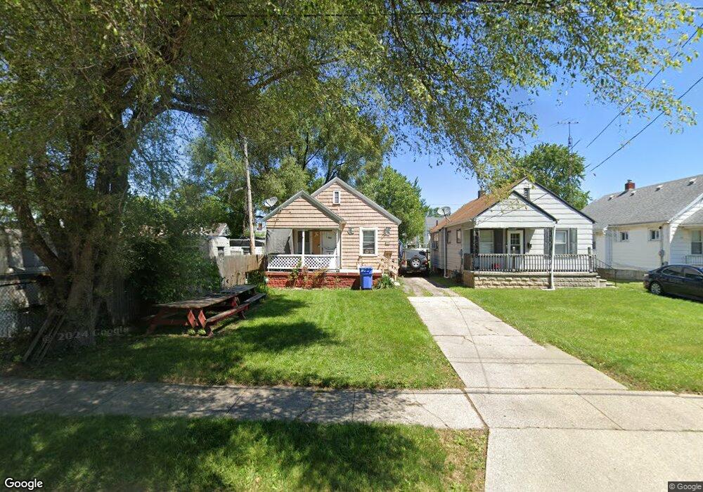
604 Custer Dr Toledo, OH 43612
North Towne NeighborhoodEstimated Value: $85,226 - $110,000
2
Beds
1
Bath
760
Sq Ft
$128/Sq Ft
Est. Value
About This Home
This home is located at 604 Custer Dr, Toledo, OH 43612 and is currently estimated at $97,307, approximately $128 per square foot. 604 Custer Dr is a home located in Lucas County with nearby schools including Larchmont Elementary School, Start High School, and Bennett Venture Academy.
Ownership History
Date
Name
Owned For
Owner Type
Purchase Details
Closed on
Sep 26, 2022
Sold by
Marlatt Family Living Trust
Bought by
Clark Michael J and Clark Crystal K
Current Estimated Value
Purchase Details
Closed on
Nov 5, 2020
Sold by
Marlatt Steven L and Marlatt Jacquelyn L
Bought by
Marlatt Steven I and Marlatt Family Living Trust
Purchase Details
Closed on
Feb 4, 1992
Sold by
Penney Douglas
Create a Home Valuation Report for This Property
The Home Valuation Report is an in-depth analysis detailing your home's value as well as a comparison with similar homes in the area
Home Values in the Area
Average Home Value in this Area
Purchase History
| Date | Buyer | Sale Price | Title Company |
|---|---|---|---|
| Clark Michael J | $37,900 | None Listed On Document | |
| Marlatt Steven I | -- | None Available | |
| -- | $22,000 | -- |
Source: Public Records
Tax History
| Year | Tax Paid | Tax Assessment Tax Assessment Total Assessment is a certain percentage of the fair market value that is determined by local assessors to be the total taxable value of land and additions on the property. | Land | Improvement |
|---|---|---|---|---|
| 2025 | $3,830 | $18,970 | $4,550 | $14,420 |
| 2024 | $3,385 | $18,970 | $4,550 | $14,420 |
| 2023 | $891 | $13,265 | $3,745 | $9,520 |
| 2022 | $910 | $13,265 | $3,745 | $9,520 |
| 2021 | $928 | $13,265 | $3,745 | $9,520 |
| 2020 | $892 | $11,095 | $3,150 | $7,945 |
| 2019 | $865 | $11,095 | $3,150 | $7,945 |
| 2018 | $830 | $11,095 | $3,150 | $7,945 |
| 2017 | $787 | $9,450 | $4,270 | $5,180 |
| 2016 | $793 | $27,000 | $12,200 | $14,800 |
| 2015 | $788 | $27,000 | $12,200 | $14,800 |
| 2014 | $948 | $14,670 | $4,270 | $10,400 |
| 2013 | $948 | $14,670 | $4,270 | $10,400 |
Source: Public Records
Map
Nearby Homes
- 711 Waybridge Rd
- 702 Mayfair Blvd
- 722 Mayfair Blvd
- 713 W Capistrano Ave
- 439 W Capistrano Ave
- 331 W Crawford Ave
- 706 W Gramercy Ave
- 533 W Northgate Pkwy
- 746 Linda Dr
- 4703 Vermaas Ave
- 826 W Gramercy Ave
- 223 W Capistrano Ave
- 736 W Northgate Pkwy
- 433 California Blvd
- 904 Annabelle Dr
- 517 Pasadena Blvd
- 5127 Homeside Ave
- 927 W Northgate Pkwy
- 539 Sunset Blvd
- 5113 Tappan Ave
- 552 Custer Dr
- 550 Custer Dr
- 546 Custer Dr
- 603 Southover Rd
- 607 Southover Rd
- 544 Custer Dr
- 549 Southover Rd
- 611 Southover Rd
- 545 Southover Rd
- 540 Custer Dr
- 615 Southover Rd
- 605 Custer Dr
- 553 Custer Dr
- 541 Southover Rd
- 619 Southover Rd
- 536 Custer Dr
- 613 Custer Dr
- 623 Southover Rd
- 532 Custer Dr
- 541 Custer Dr
Your Personal Tour Guide
Ask me questions while you tour the home.