604 Dogwood Trace Unit 3 Woodstock, GA 30188
Union Hill NeighborhoodEstimated Value: $449,219 - $466,000
3
Beds
2
Baths
2,484
Sq Ft
$184/Sq Ft
Est. Value
About This Home
This home is located at 604 Dogwood Trace Unit 3, Woodstock, GA 30188 and is currently estimated at $457,610, approximately $184 per square foot. 604 Dogwood Trace Unit 3 is a home located in Cherokee County with nearby schools including Mountain Road Elementary School, Rusk Middle School, and Sequoyah High School.
Ownership History
Date
Name
Owned For
Owner Type
Purchase Details
Closed on
Jan 31, 2002
Sold by
Russ Ronald A and Russ Eileen B
Bought by
Crumley Loran P and Crumley Elizabeth M
Current Estimated Value
Home Financials for this Owner
Home Financials are based on the most recent Mortgage that was taken out on this home.
Original Mortgage
$100,000
Outstanding Balance
$40,783
Interest Rate
7.16%
Mortgage Type
New Conventional
Estimated Equity
$416,827
Purchase Details
Closed on
Oct 23, 1998
Sold by
Justice Gregory D and Justice Donna L
Bought by
Russ Ronald A and Russ Eileen B
Home Financials for this Owner
Home Financials are based on the most recent Mortgage that was taken out on this home.
Original Mortgage
$118,800
Interest Rate
6.5%
Mortgage Type
New Conventional
Create a Home Valuation Report for This Property
The Home Valuation Report is an in-depth analysis detailing your home's value as well as a comparison with similar homes in the area
Home Values in the Area
Average Home Value in this Area
Purchase History
| Date | Buyer | Sale Price | Title Company |
|---|---|---|---|
| Crumley Loran P | $171,500 | -- | |
| Russ Ronald A | $148,500 | -- |
Source: Public Records
Mortgage History
| Date | Status | Borrower | Loan Amount |
|---|---|---|---|
| Open | Crumley Loran P | $100,000 | |
| Previous Owner | Russ Ronald A | $118,800 |
Source: Public Records
Tax History Compared to Growth
Tax History
| Year | Tax Paid | Tax Assessment Tax Assessment Total Assessment is a certain percentage of the fair market value that is determined by local assessors to be the total taxable value of land and additions on the property. | Land | Improvement |
|---|---|---|---|---|
| 2025 | $3,819 | $165,292 | $36,800 | $128,492 |
| 2024 | $3,731 | $161,932 | $36,800 | $125,132 |
| 2023 | $3,404 | $167,052 | $36,800 | $130,252 |
| 2022 | $3,453 | $146,812 | $46,000 | $100,812 |
| 2021 | $2,921 | $111,372 | $20,800 | $90,572 |
| 2020 | $2,770 | $104,728 | $20,800 | $83,928 |
| 2019 | $2,623 | $98,400 | $20,800 | $77,600 |
| 2018 | $2,468 | $91,200 | $20,800 | $70,400 |
| 2017 | $2,416 | $220,500 | $20,800 | $67,400 |
| 2016 | $2,190 | $194,000 | $16,400 | $61,200 |
| 2015 | $2,152 | $188,700 | $16,400 | $59,080 |
| 2014 | $1,992 | $174,800 | $14,400 | $55,520 |
Source: Public Records
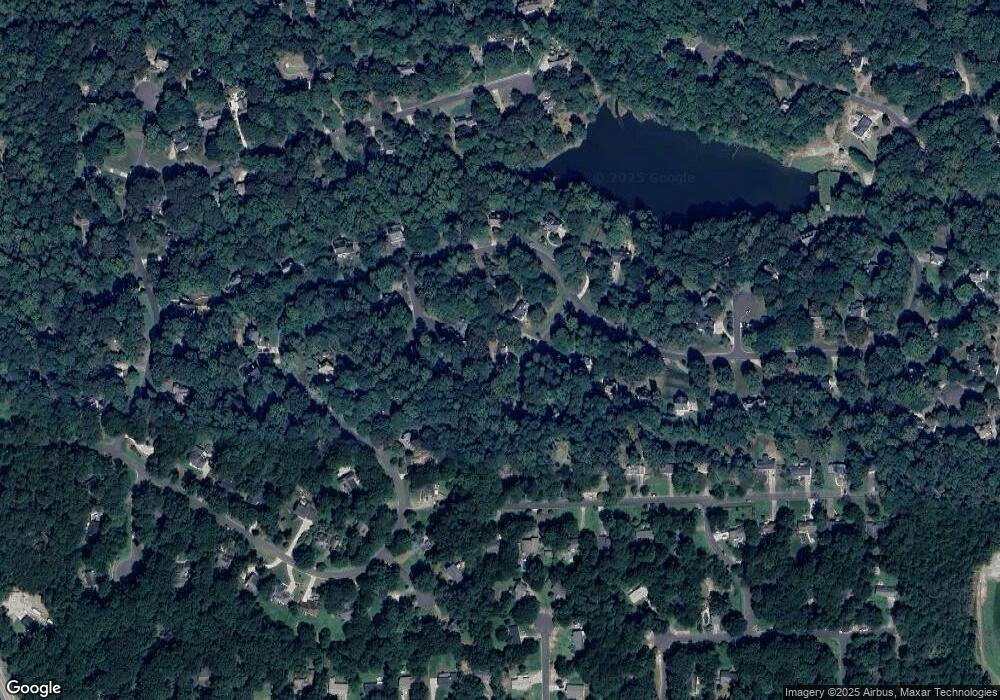
Map
Nearby Homes
- 136 Plantation Trace
- 1188 Ridgeview Rd
- 7052 Foundry Dr
- 1168 Ridgeview Rd
- 528 River Lakeside Ln
- 239 Aberdeen Way
- 234 Aberdeen Way
- 13795 Arnold Mill Rd
- 4002 Tallow Place
- 1043 Ridgeview Rd
- 214 Kingsley Way
- 1039 Ridgeview Rd
- Payton Plan at Holly Farm - Highlands
- Monteluce Plan at Holly Farm - Highlands
- Antioch Plan at Holly Farm - Highlands
- Roswell Plan at Holly Farm - Highlands
- Hedgerow Plan at Holly Farm - Highlands
- Hendricks Plan at Holly Farm - Highlands
- 4297 Earney Rd
- 210 Cherokee Springs Way
- 403 Buckeye Ln
- 602 Dogwood Trace
- 405 Buckeye Ln
- 602 Dogwood Trace
- 605 Dogwood Trace
- 603 Dogwood Trace
- 150 Plantation Trace
- 146 Plantation Trace
- 144 Plantation Trace
- 0 Plantation Trace Unit 8744220
- 0 Plantation Trace Unit 8558209
- 0 Plantation Trace
- 404 Buckeye Ln
- 132 Plantation Trace
- 152 Plantation Trace
- 708 Jett Rd
- 710 Jett Rd
- 130 Plantation Trace
- 134 Plantation Trace
- 712 Jett Rd