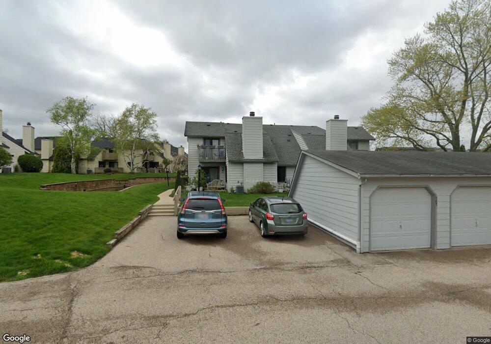
604 Dunham Rd Unit U309 Gurnee, IL 60031
Estimated Value: $215,170 - $228,000
2
Beds
2
Baths
1,162
Sq Ft
$190/Sq Ft
Est. Value
About This Home
This home is located at 604 Dunham Rd Unit U309, Gurnee, IL 60031 and is currently estimated at $221,043, approximately $190 per square foot. 604 Dunham Rd Unit U309 is a home located in Lake County with nearby schools including Woodland Primary School, Woodland Elementary School, and Woodland Intermediate School.
Ownership History
Date
Name
Owned For
Owner Type
Purchase Details
Closed on
Jul 7, 2005
Sold by
Birkelo Jolene R
Bought by
Feichter Lisa M
Current Estimated Value
Home Financials for this Owner
Home Financials are based on the most recent Mortgage that was taken out on this home.
Original Mortgage
$125,920
Outstanding Balance
$69,259
Interest Rate
6.5%
Mortgage Type
New Conventional
Estimated Equity
$151,784
Create a Home Valuation Report for This Property
The Home Valuation Report is an in-depth analysis detailing your home's value as well as a comparison with similar homes in the area
Home Values in the Area
Average Home Value in this Area
Purchase History
| Date | Buyer | Sale Price | Title Company |
|---|---|---|---|
| Feichter Lisa M | $157,500 | -- |
Source: Public Records
Mortgage History
| Date | Status | Borrower | Loan Amount |
|---|---|---|---|
| Open | Feichter Lisa M | $125,920 |
Source: Public Records
Tax History Compared to Growth
Tax History
| Year | Tax Paid | Tax Assessment Tax Assessment Total Assessment is a certain percentage of the fair market value that is determined by local assessors to be the total taxable value of land and additions on the property. | Land | Improvement |
|---|---|---|---|---|
| 2024 | $4,413 | $56,983 | $8,185 | $48,798 |
| 2023 | $3,736 | $52,904 | $7,599 | $45,305 |
| 2022 | $3,736 | $44,333 | $5,929 | $38,404 |
| 2021 | $3,141 | $40,146 | $5,369 | $34,777 |
| 2020 | $3,031 | $39,159 | $5,237 | $33,922 |
| 2019 | $2,939 | $38,022 | $5,085 | $32,937 |
| 2018 | $2,434 | $32,973 | $2,676 | $30,297 |
| 2017 | $2,403 | $32,028 | $2,599 | $29,429 |
| 2016 | $2,365 | $30,602 | $2,483 | $28,119 |
| 2015 | $2,281 | $29,023 | $2,355 | $26,668 |
| 2014 | $2,118 | $27,502 | $2,323 | $25,179 |
| 2012 | $3,075 | $27,713 | $2,341 | $25,372 |
Source: Public Records
Map
Nearby Homes
- 690 Chandler Rd Unit 207
- 690 Chandler Rd Unit 305
- 651 White Ct
- 638 Dordan Ct
- 741 Colby Ct Unit U42
- 6121 Brookstone Place
- 776 Chandler Rd
- 711 Creekside Cir Unit 103
- 6161 Oakmont Ln
- 600 Creekside Cir Unit 85
- 6191 Oakmont Ln
- 640 Wilbur Ct
- 6296 Doral Dr
- 6141 Crossland Blvd
- 917 Vose Dr Unit 304
- 920 Vose Dr Unit 304
- 920 Vose Dr Unit 106
- 920 Vose Dr Unit 105
- 914 Vose Dr
- 6359 Doral Dr
- 585 Dunham Rd
- 602 Dunham Rd Unit U310
- 606 Dunham Rd Unit U318
- 608 Dunham Rd Unit U317
- 598 Dunham Rd Unit U297
- 610 Dunham Rd Unit U316
- 600 Dunham Rd Unit U295
- 600 Dunham Rd Unit 600
- 596 Dunham Rd Unit U299
- 612 Dunham Rd Unit U315
- 612 Dunham Rd Unit 612
- 594 Dunham Rd Unit U301
- 611 Whitney Ct Unit U283
- 590 Dunham Rd Unit U298
- 613 Whitney Ct Unit U284
- 595 Dunham Rd Unit 319
- 588 Dunham Rd
- 609 Whitney Ct Unit U282
- 615 Whitney Ct
- 607 Whitney Ct Unit U281