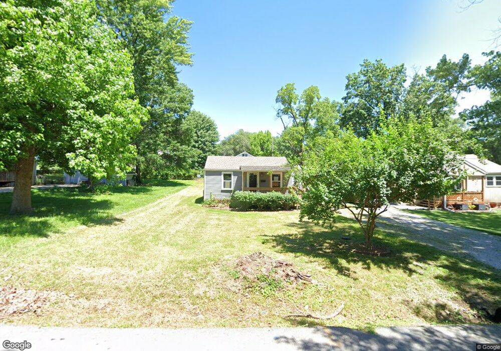
604 E Angus St Independence, MO 64055
Hanthorn NeighborhoodEstimated Value: $84,172 - $461,000
1
Bed
1
Bath
528
Sq Ft
$356/Sq Ft
Est. Value
About This Home
This home is located at 604 E Angus St, Independence, MO 64055 and is currently estimated at $188,043, approximately $356 per square foot. 604 E Angus St is a home located in Jackson County with nearby schools including Sycamore Hills Elementary School, Bridger Middle School, and Pioneer Ridge Middle School.
Ownership History
Date
Name
Owned For
Owner Type
Purchase Details
Closed on
Jul 19, 2021
Sold by
Oldberg Hannah and Oldberg Brent Eric
Bought by
Jdg Ventures Llc
Current Estimated Value
Purchase Details
Closed on
Jan 22, 2013
Sold by
Phillip D Cooper And Marilyn F Cooper Re
Bought by
Oldberg John R
Purchase Details
Closed on
May 26, 2010
Sold by
Mag Properties Three Llc
Bought by
Cooper Phillip D and Cooper Marilyn F
Purchase Details
Closed on
Jun 14, 1996
Sold by
P M Construction Services Inc
Bought by
Brown Gordon T and Brown Mary Anne
Create a Home Valuation Report for This Property
The Home Valuation Report is an in-depth analysis detailing your home's value as well as a comparison with similar homes in the area
Home Values in the Area
Average Home Value in this Area
Purchase History
| Date | Buyer | Sale Price | Title Company |
|---|---|---|---|
| Jdg Ventures Llc | -- | First American Title | |
| Oldberg John R | -- | None Available | |
| Cooper Phillip D | -- | Chicago | |
| Brown Gordon T | -- | -- |
Source: Public Records
Tax History
| Year | Tax Paid | Tax Assessment Tax Assessment Total Assessment is a certain percentage of the fair market value that is determined by local assessors to be the total taxable value of land and additions on the property. | Land | Improvement |
|---|---|---|---|---|
| 2025 | $500 | $6,783 | $3,534 | $3,249 |
| 2024 | $489 | $7,220 | $1,900 | $5,320 |
| 2023 | $489 | $9,297 | $1,243 | $8,054 |
| 2022 | $379 | $5,130 | $994 | $4,136 |
| 2021 | $379 | $5,130 | $994 | $4,136 |
| 2020 | $387 | $5,097 | $994 | $4,103 |
| 2019 | $381 | $5,097 | $994 | $4,103 |
| 2018 | $347 | $4,436 | $865 | $3,571 |
| 2017 | $347 | $4,436 | $865 | $3,571 |
| 2016 | $342 | $4,325 | $1,761 | $2,564 |
Source: Public Records
Map
Nearby Homes
- 603 E Myrtle St
- 1340 S Emery Ave
- 421 E Angus St
- 1339 S Hocker Ave
- 735 E Devon St
- 718 E Gudgell Ave
- 1312 S Pearl St
- 1402 S Dodgion Ave
- 1120 S Leslie St
- 660 E Red Rd
- 921 E Manor Rd
- 912 E Stone St
- 930 S Leslie St
- 925 S Emery St
- 914 E South Ave
- 913 S Hocker Ave
- 1040 E Stone St
- 903 S Pope Ave
- 1100 S Noland Rd
- 904 S Pearl St
- 606 E Angus St
- 602 E Angus St
- 608 E Angus St
- 607 E Angus St
- 601 E Angus St
- 614 E Angus St
- 613 E Angus St
- 607 E Aberdeen St
- 605 E Aberdeen St
- 616 E Angus St
- 601 E Aberdeen St
- 609 E Aberdeen St
- 530 E Angus St
- 519 E Angus St
- 618 E Angus St
- 615 E Angus St
- 611 E Aberdeen St
- 511 E Aberdeen St
- 517 E Angus St
- 508 E Angus St
Your Personal Tour Guide
Ask me questions while you tour the home.