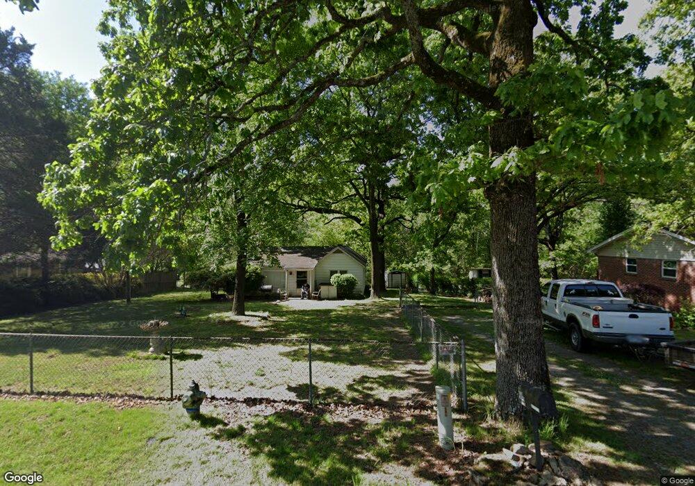
604 E Lee Ave Sherwood, AR 72120
Estimated Value: $110,000 - $193,000
Studio
1
Bath
1,354
Sq Ft
$110/Sq Ft
Est. Value
About This Home
This home is located at 604 E Lee Ave, Sherwood, AR 72120 and is currently estimated at $148,478, approximately $109 per square foot. 604 E Lee Ave is a home located in Pulaski County with nearby schools including Sherwood Elementary School, Sylvan Hills Middle School, and Sylvan Hills High School.
Ownership History
Date
Name
Owned For
Owner Type
Purchase Details
Closed on
Apr 16, 2012
Sold by
Benda Brent and Benda Shirley
Bought by
Stephens Greg Anderson
Current Estimated Value
Purchase Details
Closed on
Oct 15, 1997
Sold by
Phillips Pamela Gail and Phillips Thomas A
Bought by
Testerman Paula and Testerman Jefferson
Home Financials for this Owner
Home Financials are based on the most recent Mortgage that was taken out on this home.
Original Mortgage
$28,000
Interest Rate
7.07%
Mortgage Type
Purchase Money Mortgage
Create a Home Valuation Report for This Property
The Home Valuation Report is an in-depth analysis detailing your home's value as well as a comparison with similar homes in the area
Home Values in the Area
Average Home Value in this Area
Purchase History
| Date | Buyer | Sale Price | Title Company |
|---|---|---|---|
| Stephens Greg Anderson | -- | None Available | |
| Testerman Paula | $35,000 | -- |
Source: Public Records
Mortgage History
| Date | Status | Borrower | Loan Amount |
|---|---|---|---|
| Previous Owner | Testerman Paula | $28,000 |
Source: Public Records
Tax History
| Year | Tax Paid | Tax Assessment Tax Assessment Total Assessment is a certain percentage of the fair market value that is determined by local assessors to be the total taxable value of land and additions on the property. | Land | Improvement |
|---|---|---|---|---|
| 2025 | $945 | $18,968 | $2,300 | $16,668 |
| 2024 | $866 | $18,968 | $2,300 | $16,668 |
| 2023 | $866 | $18,968 | $2,300 | $16,668 |
| 2022 | $942 | $18,968 | $2,300 | $16,668 |
| 2021 | $876 | $15,100 | $2,250 | $12,850 |
| 2020 | $496 | $15,100 | $2,250 | $12,850 |
| 2019 | $496 | $15,100 | $2,250 | $12,850 |
| 2018 | $521 | $15,100 | $2,250 | $12,850 |
| 2017 | $512 | $15,100 | $2,250 | $12,850 |
| 2016 | $557 | $15,960 | $4,140 | $11,820 |
| 2015 | $811 | $15,960 | $4,140 | $11,820 |
| 2014 | $811 | $15,960 | $4,140 | $11,820 |
Source: Public Records
Map
Nearby Homes
- 322 E Lee Ave
- 701 Club Rd
- 208 E Kiehl Ave Unit out parcel
- 22 Pennwood Dr
- 8715 Teetwood Rd
- 00 E Kiehl Ave
- 8602 Patricia Lynn Ln
- 8812 Holiday Dr
- 8801 Patricia Lynn Ln
- 25 Daniel Dr
- 9016 Wilhite Ln
- 7416 Toltec Dr
- 2410 Crown Ct
- 6
- +/- 8.16 Acres Windchime Ave
- 8218 Park Ave
- 1 Sherwood - Multi Package Properties Dr
- 1800 Palomino Dr
- 9318 Woodbine Sttreet
- 105 Glenora Ave
- 620 E Lee Ave
- 416 E Lee Ave
- 412 E Lee Ave
- 616 E Lee Ave
- 525 E Lee Ave
- 408 E Lee Ave
- 706 E Lee Ave
- 0 Apple Valley
- 338 Apple Valley Dr
- 703 E Lee Ave
- 404 E Lee Ave
- 334 Apple Valley Dr
- 708 E Lee Ave
- 707 E Lee Ave
- 330 Apple Valley Dr
- 286 Apple Valley Dr
- 710 E Lee Ave
- 339 Apple Valley Dr
- 284 Apple Valley Dr
- E Lee
Your Personal Tour Guide
Ask me questions while you tour the home.