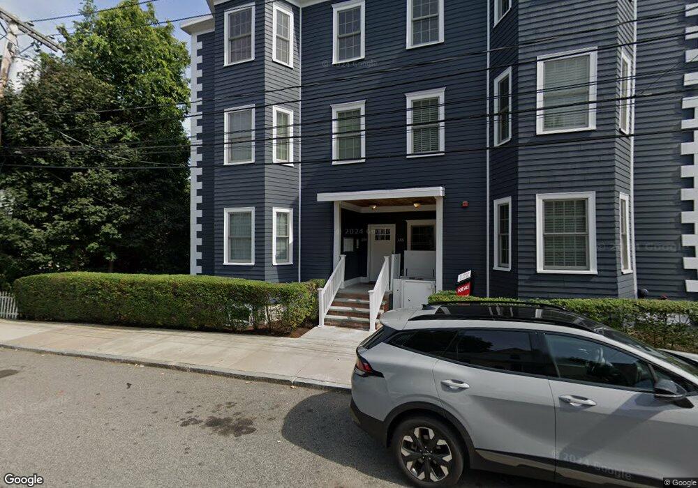
604 Freeport St Unit 2 Boston, MA 02122
Neponset-Port Norfolk NeighborhoodEstimated Value: $722,739 - $788,000
2
Beds
2
Baths
2,100
Sq Ft
$362/Sq Ft
Est. Value
About This Home
This home is located at 604 Freeport St Unit 2, Boston, MA 02122 and is currently estimated at $760,685, approximately $362 per square foot. 604 Freeport St Unit 2 is a home located in Suffolk County with nearby schools including Neighborhood House Charter School and Helen Y. Davis Leadership Academy Charter Public School.
Ownership History
Date
Name
Owned For
Owner Type
Purchase Details
Closed on
Aug 6, 2014
Sold by
Sanbron Robert J and Rossi Kristina M
Bought by
Sanborn Robert J and Rossi Kristina M
Current Estimated Value
Purchase Details
Closed on
Sep 21, 2006
Sold by
Keohane Realty Dev T and Keohane Denis F
Bought by
Redd Holdings Llc
Create a Home Valuation Report for This Property
The Home Valuation Report is an in-depth analysis detailing your home's value as well as a comparison with similar homes in the area
Home Values in the Area
Average Home Value in this Area
Purchase History
| Date | Buyer | Sale Price | Title Company |
|---|---|---|---|
| Sanborn Robert J | -- | -- | |
| Sanbron Robert J | $424,500 | -- | |
| Redd Holdings Llc | -- | -- |
Source: Public Records
Tax History Compared to Growth
Tax History
| Year | Tax Paid | Tax Assessment Tax Assessment Total Assessment is a certain percentage of the fair market value that is determined by local assessors to be the total taxable value of land and additions on the property. | Land | Improvement |
|---|---|---|---|---|
| 2025 | $7,366 | $636,100 | $0 | $636,100 |
| 2024 | $6,439 | $590,700 | $0 | $590,700 |
| 2023 | $6,157 | $573,300 | $0 | $573,300 |
| 2022 | $5,884 | $540,800 | $0 | $540,800 |
| 2021 | $5,602 | $525,000 | $0 | $525,000 |
| 2020 | $4,888 | $462,900 | $0 | $462,900 |
| 2019 | $4,601 | $436,500 | $0 | $436,500 |
| 2018 | $4,237 | $404,300 | $0 | $404,300 |
| 2017 | $3,929 | $371,000 | $0 | $371,000 |
| 2016 | $3,814 | $346,700 | $0 | $346,700 |
| 2015 | $3,943 | $325,600 | $0 | $325,600 |
| 2014 | $3,758 | $298,700 | $0 | $298,700 |
Source: Public Records
Map
Nearby Homes
- 36 Mckone St Unit 2
- 36 Mckone St
- 36 Mckone St Unit 1
- 8 Mckone St
- 223 Neponset Ave Unit 2
- 217 Neponset Ave Unit 33
- 51 Coffey St Unit 51C
- 3 N Munroe Terrace
- 378 Neponset Ave
- 43 Chickatawbut St
- 22 Chickatawbut St Unit 2
- 45 Chickatawbut St Unit 1
- 4 Payne St Unit 5
- 60 Houghton St Unit 62
- 400-412 Neponset Ave
- 62 Redfield St Unit 1
- 34 Houghton St
- 108 King St Unit 3
- 104 King St Unit 2
- 96 King St Unit 1
- 604 Freeport St Unit 1
- 604-606 Freeport St Unit 6
- 604 Freeport St Unit 606
- 604 Freeport St Unit 606
- 604 Freeport St Unit 606
- 604 Freeport St Unit 606
- 604 Freeport St Unit 606
- 604 Freeport St Unit 606
- 604 Freeport St Unit PH
- 604 Freeport St Unit 6
- 604 Freeport St Unit 4
- 604 Freeport St Unit 1
- 604 Freeport St Unit 3
- 604 Freeport St Unit 6
- 604 Freeport St Unit 2
- 604 Freeport St Unit 5
- 604 Freeport St Unit PH 5
- 604 Freeport St Unit 5
- 604-606 Freeport St Unit 4
- 604 Freeport St Unit PH