604 Hill Rd Boxborough, MA 01719
Estimated Value: $1,171,292 - $1,242,000
3
Beds
1
Bath
4,243
Sq Ft
$284/Sq Ft
Est. Value
About This Home
This home is located at 604 Hill Rd, Boxborough, MA 01719 and is currently estimated at $1,206,646, approximately $284 per square foot. 604 Hill Rd is a home located in Middlesex County with nearby schools including Acton-Boxborough Regional High School.
Create a Home Valuation Report for This Property
The Home Valuation Report is an in-depth analysis detailing your home's value as well as a comparison with similar homes in the area
Home Values in the Area
Average Home Value in this Area
Tax History Compared to Growth
Tax History
| Year | Tax Paid | Tax Assessment Tax Assessment Total Assessment is a certain percentage of the fair market value that is determined by local assessors to be the total taxable value of land and additions on the property. | Land | Improvement |
|---|---|---|---|---|
| 2025 | $12,102 | $799,369 | $313,369 | $486,000 |
| 2024 | $11,208 | $747,711 | $301,011 | $446,700 |
| 2023 | $10,666 | $687,263 | $272,463 | $414,800 |
| 2022 | $10,764 | $617,938 | $272,138 | $345,800 |
| 2020 | $9,842 | $588,661 | $271,661 | $317,000 |
| 2019 | $9,666 | $588,661 | $271,661 | $317,000 |
| 2018 | $9,334 | $567,776 | $259,176 | $308,600 |
| 2017 | $9,440 | $561,576 | $259,176 | $302,400 |
| 2016 | $8,963 | $547,885 | $258,385 | $289,500 |
| 2015 | $8,068 | $484,585 | $213,485 | $271,100 |
| 2014 | $8,197 | $463,385 | $207,385 | $256,000 |
Source: Public Records
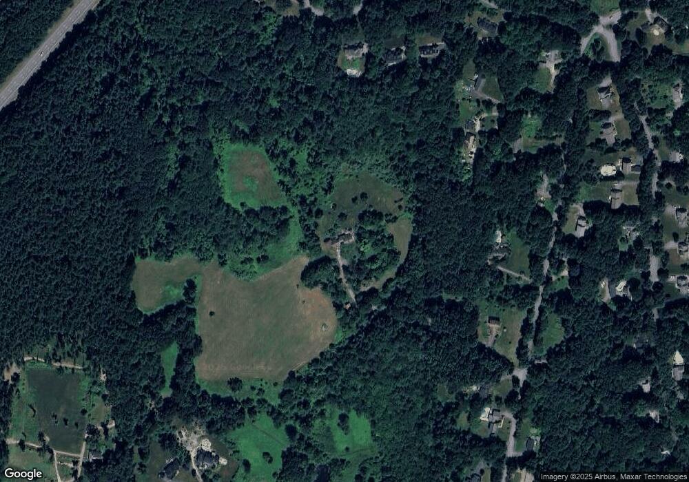
Map
Nearby Homes
- 89 School House Ln
- 139 Picnic St
- 58 Spencer Rd Unit 18K
- 50 Spencer Rd Unit 36
- 42 Swanson Ct Unit 14A
- 53 Swanson Ct Unit 36C
- 220 Swanson Rd Unit 605
- 220 Swanson Rd Unit 606
- 176 Swanson Rd Unit 309
- 1155 Burroughs Rd
- 63 Leonard Rd Unit 63
- 777 Depot Rd
- 62 Waite Rd
- 310 Codman Hill Rd Unit 35D
- 96 Cedarwood Rd
- Lot 2 Strawberry Farm
- 332 Old Littleton Rd
- 150 Whitcomb Ave
- 166 Littleton Rd Unit 3
- 134 Russet Ln