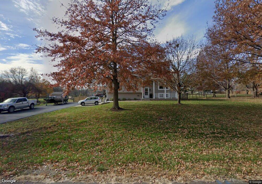
604 Howard Ln Trimble, MO 64492
Estimated Value: $269,634 - $333,000
3
Beds
2
Baths
1,220
Sq Ft
$245/Sq Ft
Est. Value
About This Home
This home is located at 604 Howard Ln, Trimble, MO 64492 and is currently estimated at $298,659, approximately $244 per square foot. 604 Howard Ln is a home with nearby schools including Ellis Elementary School, Clinton County R-III Middle School, and Plattsburg High School.
Ownership History
Date
Name
Owned For
Owner Type
Purchase Details
Closed on
May 27, 2025
Sold by
Alsup Paula and Allison Tim
Bought by
Estes Stephen L
Current Estimated Value
Home Financials for this Owner
Home Financials are based on the most recent Mortgage that was taken out on this home.
Original Mortgage
$279,000
Outstanding Balance
$277,070
Interest Rate
6.83%
Mortgage Type
New Conventional
Estimated Equity
$21,589
Purchase Details
Closed on
Jun 1, 2004
Bought by
Allison Tim and Alsup Paula
Create a Home Valuation Report for This Property
The Home Valuation Report is an in-depth analysis detailing your home's value as well as a comparison with similar homes in the area
Purchase History
| Date | Buyer | Sale Price | Title Company |
|---|---|---|---|
| Estes Stephen L | -- | Security 1St Title | |
| Allison Tim | -- | -- |
Source: Public Records
Mortgage History
| Date | Status | Borrower | Loan Amount |
|---|---|---|---|
| Open | Estes Stephen L | $279,000 |
Source: Public Records
Tax History
| Year | Tax Paid | Tax Assessment Tax Assessment Total Assessment is a certain percentage of the fair market value that is determined by local assessors to be the total taxable value of land and additions on the property. | Land | Improvement |
|---|---|---|---|---|
| 2024 | $1,927 | $25,130 | $4,117 | $21,013 |
| 2023 | $1,768 | $25,130 | $4,117 | $21,013 |
| 2022 | $1,644 | $23,220 | $4,117 | $19,103 |
| 2021 | $1,629 | $23,220 | $4,117 | $19,103 |
| 2020 | $1,495 | $21,109 | $3,743 | $17,366 |
| 2019 | $1,489 | $21,109 | $3,743 | $17,366 |
| 2018 | $1,487 | $21,109 | $3,743 | $17,366 |
| 2017 | $1,482 | $21,109 | $3,743 | $17,366 |
| 2016 | $1,510 | $21,109 | $3,743 | $17,366 |
| 2013 | -- | $21,110 | $0 | $0 |
Source: Public Records
Map
Nearby Homes
- 2 Redbud Ln
- 501 Port Arthur Rd
- 10A Highway 169
- 7127 SW Karen Rd
- Lot 2 Z Hwy
- 6320 NE 164th St
- Lot 1, 2 Z Hwy
- Z Highway Lot: 1 Unit 2
- 8894 Ssr-Z Hwy
- 8894 SW Highway Z
- Lot 3 Z Hwy
- 900 NE 194th Terrace
- 901 NE 194th Terrace
- 100 Lake Meadows Dr
- 102 Lake Meadows Dr
- 5050 SW O Hwy
- 300 NE 192nd Terrace
- 0 SW Short Rd
- 18406 Rock Ridge N
- 18410 Rock Creek Dr
- 606 Howard Ln
- 605 Howard Ln
- 702 Howard Ln
- 504 Howard Ln
- 701 Howard Ln
- 502 Howard Ln
- 703 Howard Ln
- 700 Howard Ln
- 603 Port Arthur Rd
- 601 Port Arthur Rd
- 601-643 Port Arthur Rd
- 201 Howard Rd
- 301 Howard Rd
- 611 Port Arthur Rd
- 619 Port Arthur Rd
- 627 Port Arthur Rd
- 303 Howard Rd
- 637 Port Arthur Rd
- 428 N 3rd St
- 206 Howard Rd
Your Personal Tour Guide
Ask me questions while you tour the home.