604 Looney Ln Weatherford, TX 76087
Estimated Value: $668,000
--
Bed
--
Bath
2,873
Sq Ft
$233/Sq Ft
Est. Value
About This Home
This home is located at 604 Looney Ln, Weatherford, TX 76087 and is currently estimated at $668,000, approximately $232 per square foot. 604 Looney Ln is a home located in Parker County with nearby schools including Curtis Elementary School, Hall Middle School, and Weatherford High School.
Ownership History
Date
Name
Owned For
Owner Type
Purchase Details
Closed on
Dec 20, 2002
Sold by
Hobbs Wade
Bought by
Hobbs Wade and Hobbs Danna
Current Estimated Value
Purchase Details
Closed on
Jul 10, 2002
Sold by
Hobbs Wade
Bought by
Hobbs Wade and Hobbs Danna
Purchase Details
Closed on
Dec 21, 2001
Sold by
Snyder Tracy L
Bought by
Hobbs Wade and Hobbs Danna
Purchase Details
Closed on
Dec 20, 2001
Sold by
Hobbs Wade
Bought by
Hobbs Wade and Hobbs Danna
Purchase Details
Closed on
Nov 27, 1989
Bought by
Hobbs Wade and Hobbs Danna
Create a Home Valuation Report for This Property
The Home Valuation Report is an in-depth analysis detailing your home's value as well as a comparison with similar homes in the area
Home Values in the Area
Average Home Value in this Area
Purchase History
| Date | Buyer | Sale Price | Title Company |
|---|---|---|---|
| Hobbs Wade | -- | -- | |
| Hobbs Wade | -- | -- | |
| Hobbs Wade | -- | -- | |
| Hobbs Wade | -- | -- | |
| Hobbs Wade | -- | -- |
Source: Public Records
Tax History Compared to Growth
Tax History
| Year | Tax Paid | Tax Assessment Tax Assessment Total Assessment is a certain percentage of the fair market value that is determined by local assessors to be the total taxable value of land and additions on the property. | Land | Improvement |
|---|---|---|---|---|
| 2025 | $4,349 | $475,483 | -- | -- |
| 2024 | $4,349 | $429,803 | -- | -- |
| 2023 | $4,349 | $390,730 | $0 | $0 |
| 2022 | $6,606 | $385,930 | $19,620 | $366,310 |
| 2021 | $6,502 | $385,930 | $19,620 | $366,310 |
| 2020 | $5,940 | $324,310 | $20,160 | $304,150 |
| 2019 | $5,755 | $324,310 | $20,160 | $304,150 |
| 2018 | $5,277 | $315,050 | $14,560 | $300,490 |
| 2017 | $4,896 | $315,050 | $14,560 | $300,490 |
| 2016 | $4,451 | $230,520 | $9,870 | $220,650 |
| 2015 | $3,595 | $230,520 | $9,870 | $220,650 |
| 2014 | $3,309 | $165,710 | $9,870 | $155,840 |
Source: Public Records
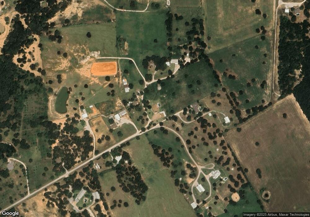
Map
Nearby Homes
- 145 Tobiano Trace
- 133 Tobiano Trace
- 650 Spring Creek Pkwy
- 1001 Bluebonnet Ridge
- 3952 Tin Top Rd
- 1020 Bluebonnet Ridge
- XXX Tin Top Rd
- 1019 Bluebonnet Ridge
- 800 Purselly Ct
- 2001 Pinetree Post
- TBD Tbd
- tbd Pinnacle Peak Ln
- 425 Fm 1708
- 2013 Star Brooke Ln
- 1021 Annabelles Ave
- 109 N Silver Saddle Trail
- 108 N Silver Saddle Trail
- 3007 Wyatts Way
- 1009 Annabelles Ave
- 1049 Annabelles Ave
- 606 Looney Ln
- 549 Looney Ln
- 602 Looney Ln
- 608 Looney Ln
- 610 Looney Ln
- 000 Looney Ln
- 543 Looney Ln
- 600 Looney Ln
- 536 Looney Ln
- 481 Looney Ln
- 500 Looney Ln
- TBD Kingsley Ct
- 0 Tbd Kingsley Ct Unit 20077348
- 136 Lazy Bend Rd
- 285 Looney Ln
- 116 Tobiano Trace
- 129 Tobiano Trace
- 148 Tobiano Trace
- 140 Tobiano Trace
- 113 Tobiano Trace