604 Queensridge Ct Las Vegas, NV 89145
Queensridge NeighborhoodEstimated Value: $4,145,000 - $6,307,000
5
Beds
8
Baths
10,268
Sq Ft
$522/Sq Ft
Est. Value
About This Home
This home is located at 604 Queensridge Ct, Las Vegas, NV 89145 and is currently estimated at $5,362,677, approximately $522 per square foot. 604 Queensridge Ct is a home located in Clark County with nearby schools including John W. Bonner Elementary School, Sig Rogich Middle School, and Palo Verde High School.
Ownership History
Date
Name
Owned For
Owner Type
Purchase Details
Closed on
Feb 11, 2013
Sold by
Awad Jason A and Awad Shereen Aziz
Bought by
Awad Jason A and Awad Shereen Aziz
Current Estimated Value
Purchase Details
Closed on
Feb 27, 1997
Sold by
Nevada Legacy 14 Llc
Bought by
Awad Jason and Awad Shereen
Create a Home Valuation Report for This Property
The Home Valuation Report is an in-depth analysis detailing your home's value as well as a comparison with similar homes in the area
Home Values in the Area
Average Home Value in this Area
Purchase History
| Date | Buyer | Sale Price | Title Company |
|---|---|---|---|
| Awad Jason A | -- | None Available | |
| Awad Jason | $457,000 | Nevada Title Company |
Source: Public Records
Tax History Compared to Growth
Tax History
| Year | Tax Paid | Tax Assessment Tax Assessment Total Assessment is a certain percentage of the fair market value that is determined by local assessors to be the total taxable value of land and additions on the property. | Land | Improvement |
|---|---|---|---|---|
| 2025 | $57,928 | $1,744,024 | $262,500 | $1,481,524 |
| 2024 | $53,638 | $1,744,024 | $262,500 | $1,481,524 |
| 2023 | $53,638 | $1,689,132 | $262,500 | $1,426,632 |
| 2022 | $49,665 | $1,621,456 | $262,500 | $1,358,956 |
| 2021 | $45,986 | $1,559,686 | $262,500 | $1,297,186 |
| 2020 | $42,696 | $1,547,692 | $262,500 | $1,285,192 |
| 2019 | $40,015 | $1,537,790 | $262,500 | $1,275,290 |
| 2018 | $38,182 | $1,432,480 | $196,000 | $1,236,480 |
| 2017 | $45,517 | $1,387,470 | $196,000 | $1,191,470 |
| 2016 | $35,716 | $1,561,862 | $350,000 | $1,211,862 |
| 2015 | $35,871 | $1,544,743 | $350,000 | $1,194,743 |
| 2014 | $34,764 | $1,147,585 | $284,375 | $863,210 |
Source: Public Records
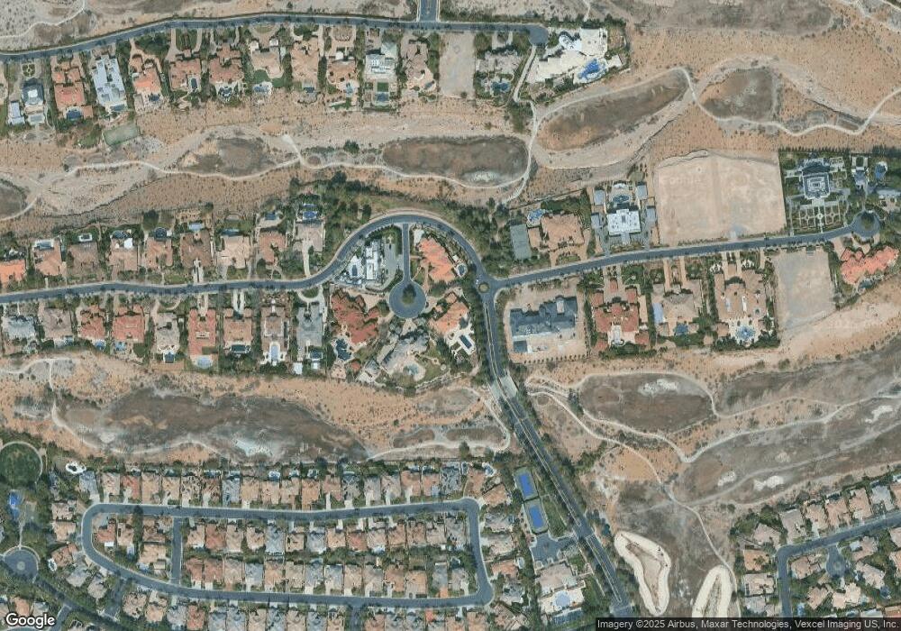
Map
Nearby Homes
- 9708 Camden Hills Ave
- 9717 Winter Palace Dr
- 9625 Gavin Stone Ave
- 9721 Camden Hills Ave
- 9600 Royal Lamb Dr
- 9605 Verlaine Ct
- 9801 Orient Express Ct
- 9740 Royal Lamb Dr
- 9312 Provence Garden Ln
- 9509 Queen Charlotte Dr
- 9809 Miss Peach Ave
- 9317 Fontainbleu Dr
- 720 Sir James Bridge Way
- 1305 Chaparral Summit Dr
- 305 Round Stone Ct
- 801 Sir James Bridge Way
- 9209 Tudor Park Place
- 1213 Daytona Ln
- 813 Sir James Bridge Way
- 9733 Trail Rider Dr
- 608 Queensridge Ct
- 600 Queensridge Ct
- 9511 Kings Gate Ct
- 605 Queensridge Ct
- 601 Queensridge Ct
- 9508 Kings Gate Ct
- 9701 Winter Palace Dr
- 9600 Camden Hills Ave
- 9604 Camden Hills Ave
- 9505 Kings Gate Ct
- 9612 Camden Hills Ave
- 700 Lacey Tree St
- 9700 Winter Palace Dr
- 9620 Camden Hills Ave
- 9624 Camden Hills Ave
- 704 Lacey Tree St
- 9628 Camden Hills Ave
- 9704 Winter Palace Dr
- 9504 Kings Gate Ct
- 9605 Camden Hills Ave