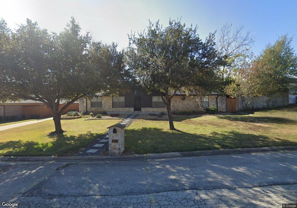
604 Robindale Dr Bedford, TX 76022
Estimated Value: $362,000 - $376,000
3
Beds
2
Baths
1,852
Sq Ft
$199/Sq Ft
Est. Value
About This Home
This home is located at 604 Robindale Dr, Bedford, TX 76022 and is currently estimated at $368,643, approximately $199 per square foot. 604 Robindale Dr is a home located in Tarrant County with nearby schools including Stonegate Elementary School, Central J High School, and L.D. Bell High School.
Ownership History
Date
Name
Owned For
Owner Type
Purchase Details
Closed on
Dec 26, 2021
Sold by
Clyde Blankenship Iii and Clyde Sabrina
Bought by
Blankenship Clyde and Blankenship Sabrina
Current Estimated Value
Purchase Details
Closed on
Jun 8, 2018
Sold by
Evans Rankin Family Partnership Lp
Bought by
Montage Development Company Llc
Home Financials for this Owner
Home Financials are based on the most recent Mortgage that was taken out on this home.
Original Mortgage
$160,000
Interest Rate
4.5%
Mortgage Type
New Conventional
Purchase Details
Closed on
May 10, 2017
Sold by
Pierce Randy L and Pierce Lelsie A
Bought by
Blankenship Clyde
Home Financials for this Owner
Home Financials are based on the most recent Mortgage that was taken out on this home.
Original Mortgage
$277,400
Interest Rate
4.14%
Mortgage Type
New Conventional
Create a Home Valuation Report for This Property
The Home Valuation Report is an in-depth analysis detailing your home's value as well as a comparison with similar homes in the area
Home Values in the Area
Average Home Value in this Area
Purchase History
| Date | Buyer | Sale Price | Title Company |
|---|---|---|---|
| Blankenship Clyde | $355,775 | None Listed On Document | |
| Montage Development Company Llc | -- | Stewart Title | |
| Blankenship Clyde | -- | First Western Title |
Source: Public Records
Mortgage History
| Date | Status | Borrower | Loan Amount |
|---|---|---|---|
| Previous Owner | Montage Development Company Llc | $160,000 | |
| Previous Owner | Blankenship Clyde | $277,400 |
Source: Public Records
Tax History
| Year | Tax Paid | Tax Assessment Tax Assessment Total Assessment is a certain percentage of the fair market value that is determined by local assessors to be the total taxable value of land and additions on the property. | Land | Improvement |
|---|---|---|---|---|
| 2025 | $7,264 | $373,120 | $75,000 | $298,120 |
| 2024 | $7,264 | $373,120 | $75,000 | $298,120 |
| 2023 | $7,392 | $385,388 | $55,000 | $330,388 |
| 2022 | $6,967 | $318,991 | $55,000 | $263,991 |
| 2021 | $6,895 | $292,702 | $55,000 | $237,702 |
| 2020 | $6,341 | $266,692 | $55,000 | $211,692 |
| 2019 | $6,852 | $282,063 | $55,000 | $227,063 |
| 2018 | $6,268 | $258,009 | $30,000 | $228,009 |
| 2017 | $4,136 | $197,197 | $30,000 | $167,197 |
| 2016 | $3,760 | $167,556 | $30,000 | $137,556 |
| 2015 | $3,273 | $141,300 | $20,000 | $121,300 |
| 2014 | $3,273 | $141,300 | $20,000 | $121,300 |
Source: Public Records
Map
Nearby Homes
- 41 Regents Park
- 33 Somerset Terrace
- 1236 King Dr
- 1121 Wade Dr
- 258 Somerset Terrace
- 1117 Wade Dr
- 97 Regents Park
- 1405 Briar Dr
- 1213 Glenda Dr
- 344 Bedford Ct E
- 860 Lee Dr
- 2116 Tamworth Ct
- 2116 Stratford Dr
- 341 Hurst Dr
- 909 Overhill Dr
- 1104 Forest Ridge Dr
- 2205 Shady Brook Dr
- 1031 Boston Blvd
- 808 Lee Dr
- 905 Brown Trail
Your Personal Tour Guide
Ask me questions while you tour the home.