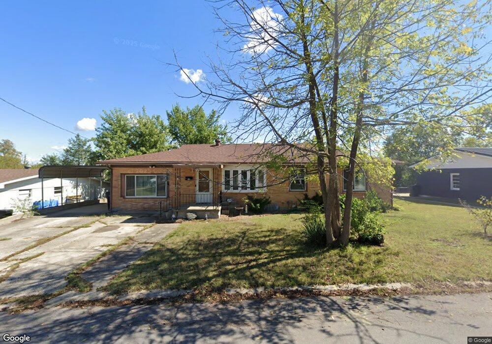
604 S Washington Ave Knob Noster, MO 65336
Estimated Value: $180,587 - $234,000
--
Bed
--
Bath
1,869
Sq Ft
$113/Sq Ft
Est. Value
About This Home
This home is located at 604 S Washington Ave, Knob Noster, MO 65336 and is currently estimated at $211,147, approximately $112 per square foot. 604 S Washington Ave is a home located in Johnson County with nearby schools including Knob Noster High School.
Ownership History
Date
Name
Owned For
Owner Type
Purchase Details
Closed on
Oct 4, 2021
Sold by
Marand Linda Emami
Bought by
Marand Linda Elmami and Fowkles Christopjer
Current Estimated Value
Purchase Details
Closed on
Jan 26, 2018
Sold by
West Ii David Merrill and West Gwendolyn
Bought by
Marand Linda Emami and Marand Linda Jane
Home Financials for this Owner
Home Financials are based on the most recent Mortgage that was taken out on this home.
Original Mortgage
$112,917
Outstanding Balance
$88,995
Interest Rate
3.75%
Mortgage Type
FHA
Estimated Equity
$122,152
Purchase Details
Closed on
Aug 10, 2017
Sold by
Spencer Helen Virginia
Bought by
West Ii David Merrill and West Gwendolyn
Home Financials for this Owner
Home Financials are based on the most recent Mortgage that was taken out on this home.
Original Mortgage
$59,000
Interest Rate
3.88%
Mortgage Type
Future Advance Clause Open End Mortgage
Create a Home Valuation Report for This Property
The Home Valuation Report is an in-depth analysis detailing your home's value as well as a comparison with similar homes in the area
Home Values in the Area
Average Home Value in this Area
Purchase History
| Date | Buyer | Sale Price | Title Company |
|---|---|---|---|
| Marand Linda Elmami | -- | None Available | |
| Marand Linda Emami | -- | Western Missouri Title Co | |
| West Ii David Merrill | -- | Western Missouri Title Co |
Source: Public Records
Mortgage History
| Date | Status | Borrower | Loan Amount |
|---|---|---|---|
| Open | Marand Linda Emami | $112,917 | |
| Previous Owner | West Ii David Merrill | $59,000 |
Source: Public Records
Tax History Compared to Growth
Tax History
| Year | Tax Paid | Tax Assessment Tax Assessment Total Assessment is a certain percentage of the fair market value that is determined by local assessors to be the total taxable value of land and additions on the property. | Land | Improvement |
|---|---|---|---|---|
| 2024 | $1,081 | $18,106 | $0 | $0 |
| 2023 | $1,081 | $18,106 | $0 | $0 |
| 2022 | $1,038 | $17,395 | $0 | $0 |
| 2021 | $1,072 | $17,395 | $0 | $0 |
| 2020 | $1,034 | $16,681 | $0 | $0 |
| 2019 | $1,007 | $16,681 | $0 | $0 |
| 2017 | $959 | $16,681 | $0 | $0 |
| 2016 | $961 | $16,681 | $0 | $0 |
| 2015 | $970 | $16,681 | $0 | $0 |
| 2014 | -- | $16,681 | $0 | $0 |
Source: Public Records
Map
Nearby Homes
- 601 Westside Dr
- 611 Summit Rd
- 609 Summit Rd
- 806 S Washington Ave
- 503 Dogwood Dr
- 900 Summit Rd
- 106 Division St
- 201 W Wimer St
- 501 W Mcpherson St
- 610 Elm St
- 0 Tba N A Unit HMS2552694
- ??? W 6th Street Terrace
- 900 Charles St
- 606 Kendrick St
- 129 NE 981
- 1700 W 6th Street Terrace
- 604 Angus Ln
- 1105 Charles St
- 1107 Charles St
- 170 NE 1011
- 606 S Washington Ave
- 602 S Washington Ave
- 605 Westside Dr
- 603 Westside Dr
- 607 Westside Dr
- 404 Sunset Blvd
- 610 S Washington Ave
- 605 S Washington Ave
- 601 S Washington Ave
- 402 Sunset Blvd
- 609 S Washington Ave
- 611 S Washington Ave
- 618 Westside Dr
- 616 Westside Dr
- 614 Westside Dr
- 504 Sunset Blvd
- 604 Westside Dr
- 606 Westside Dr
- 612 Westside Dr
- 602 Westside Dr