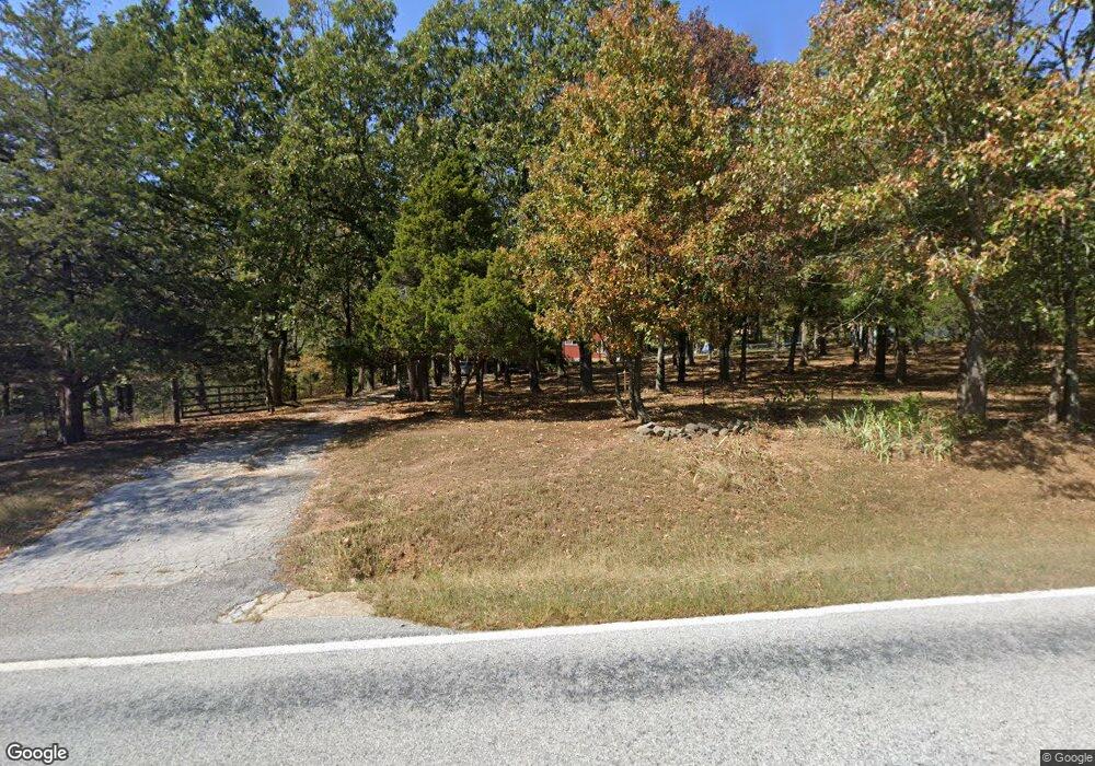
6040 Highway 43 S Harrison, AR 72601
Estimated Value: $239,000 - $307,334
4
Beds
2
Baths
2,824
Sq Ft
$96/Sq Ft
Est. Value
About This Home
This home is located at 6040 Highway 43 S, Harrison, AR 72601 and is currently estimated at $270,834, approximately $95 per square foot. 6040 Highway 43 S is a home located in Boone County with nearby schools including Forest Heights Elementary School, Harrison Jr. High School, and Harrison Seventh-Day Adventist School.
Ownership History
Date
Name
Owned For
Owner Type
Purchase Details
Closed on
Jul 30, 2020
Sold by
Thomas Zackary
Bought by
Lance Daniel W and Lance Vanessa
Current Estimated Value
Home Financials for this Owner
Home Financials are based on the most recent Mortgage that was taken out on this home.
Original Mortgage
$137,464
Outstanding Balance
$121,894
Interest Rate
3.1%
Mortgage Type
FHA
Estimated Equity
$148,940
Purchase Details
Closed on
May 2, 2008
Sold by
Youngblood Danny and Youngblood Phyllis
Bought by
Thomas Shasta Jo
Home Financials for this Owner
Home Financials are based on the most recent Mortgage that was taken out on this home.
Original Mortgage
$82,566
Interest Rate
5.89%
Mortgage Type
New Conventional
Create a Home Valuation Report for This Property
The Home Valuation Report is an in-depth analysis detailing your home's value as well as a comparison with similar homes in the area
Home Values in the Area
Average Home Value in this Area
Purchase History
| Date | Buyer | Sale Price | Title Company |
|---|---|---|---|
| Lance Daniel W | $140,000 | First National Title Company | |
| Thomas Shasta Jo | -- | None Available |
Source: Public Records
Mortgage History
| Date | Status | Borrower | Loan Amount |
|---|---|---|---|
| Open | Lance Daniel W | $137,464 | |
| Previous Owner | Thomas Shasta Jo | $82,566 |
Source: Public Records
Tax History Compared to Growth
Tax History
| Year | Tax Paid | Tax Assessment Tax Assessment Total Assessment is a certain percentage of the fair market value that is determined by local assessors to be the total taxable value of land and additions on the property. | Land | Improvement |
|---|---|---|---|---|
| 2025 | $1,492 | $33,310 | $3,490 | $29,820 |
| 2024 | $1,492 | $33,310 | $3,490 | $29,820 |
| 2023 | $1,492 | $33,310 | $3,490 | $29,820 |
| 2022 | $1,537 | $33,310 | $3,490 | $29,820 |
| 2021 | $1,537 | $33,310 | $3,490 | $29,820 |
| 2020 | $1,155 | $33,360 | $3,630 | $29,730 |
| 2019 | $1,173 | $33,360 | $3,630 | $29,730 |
| 2018 | $1,198 | $33,360 | $3,630 | $29,730 |
| 2017 | $1,180 | $33,360 | $3,630 | $29,730 |
| 2016 | $1,180 | $33,360 | $3,630 | $29,730 |
| 2015 | $1,527 | $34,090 | $4,720 | $29,370 |
| 2014 | $1,177 | $22,890 | $4,720 | $18,170 |
Source: Public Records
Map
Nearby Homes
- 6442 S 43 Hwy
- 6429 Highway 43 S
- 6442 Arkansas 43
- 6945 Hillside Ln
- 6767 Orchard Point Rd
- 5224 Creel Rd
- 0 Creel Rd Unit 1235058
- 0 Mountain Rd
- 5677 Cowan Loop
- 4055 Hwy 43 S
- 9.93 ac Fred Walker Rd
- 4822 Creel Rd
- 8020 Orchard Point Rd
- 8020 Orchard Point
- 6122 Scenic Valley Dr
- 8367 Orchard Point
- 10.6 acres +/- Creekland Dr
- 10.03 ac Valley View Church Rd W
- 0 Creekland Dr
- Lot 18 Restore Ridge
- 6040 Arkansas 43
- 70.87 ac W 206 Hwy
- 5992 Highway 43 S
- 5992 Arkansas 43
- 6226 Highway 43 S
- 6282 Highway 43 S
- 5690 Highway 43 S
- 5690 Arkansas 43
- 6424 Highway 43 S
- 4193 S 43 Hwy
- 6285 Memory Ln
- 6201 Memory Ln
- 5831 Highway 206 W
- 6367 Highway 43 S
- 6367 Arkansas 43
- 6278 Memory Ln
- 6422 Memory Ln
- 6429 43s Hwy
- 6442 Highway 43 S
- 7.53 ac Hwy 206 S of Hwy 43
