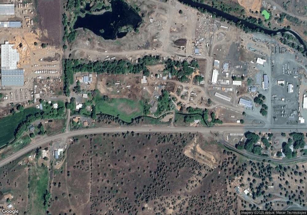
60401 Highway 26 John Day, OR 97845
Estimated Value: $380,000 - $455,000
3
Beds
2
Baths
2,537
Sq Ft
$167/Sq Ft
Est. Value
About This Home
This home is located at 60401 Highway 26, John Day, OR 97845 and is currently estimated at $423,590, approximately $166 per square foot. 60401 Highway 26 is a home located in Grant County with nearby schools including Grant Union Junior/Senior High School.
Ownership History
Date
Name
Owned For
Owner Type
Purchase Details
Closed on
Nov 30, 2015
Sold by
Neely Larry and Neely Carrie
Bought by
Armichardy Daniel J and Armichardy Ashley K
Current Estimated Value
Home Financials for this Owner
Home Financials are based on the most recent Mortgage that was taken out on this home.
Original Mortgage
$148,000
Outstanding Balance
$116,611
Interest Rate
3.76%
Mortgage Type
New Conventional
Estimated Equity
$306,979
Create a Home Valuation Report for This Property
The Home Valuation Report is an in-depth analysis detailing your home's value as well as a comparison with similar homes in the area
Home Values in the Area
Average Home Value in this Area
Purchase History
| Date | Buyer | Sale Price | Title Company |
|---|---|---|---|
| Armichardy Daniel J | $185,000 | None Available |
Source: Public Records
Mortgage History
| Date | Status | Borrower | Loan Amount |
|---|---|---|---|
| Open | Armichardy Daniel J | $148,000 |
Source: Public Records
Tax History Compared to Growth
Tax History
| Year | Tax Paid | Tax Assessment Tax Assessment Total Assessment is a certain percentage of the fair market value that is determined by local assessors to be the total taxable value of land and additions on the property. | Land | Improvement |
|---|---|---|---|---|
| 2024 | $3,145 | $249,267 | $75,169 | $174,098 |
| 2023 | $3,084 | $242,007 | $72,983 | $169,024 |
| 2022 | $2,997 | $234,959 | $71,895 | $163,064 |
| 2021 | $2,902 | $228,116 | $69,798 | $158,318 |
| 2020 | $3,080 | $221,472 | $67,767 | $153,705 |
| 2019 | $2,982 | $215,022 | $65,796 | $149,226 |
| 2018 | $2,875 | $208,760 | $63,881 | $144,879 |
| 2017 | $2,775 | $202,680 | $62,020 | $140,660 |
| 2016 | $2,676 | $194,880 | $59,630 | $135,250 |
| 2015 | $2,762 | $201,190 | $46,600 | $154,590 |
| 2014 | $2,762 | $201,190 | $46,600 | $154,590 |
| 2013 | $2,599 | $195,851 | $44,288 | $151,563 |
Source: Public Records
Map
Nearby Homes
- 0 E Side Ln Unit 201102803
- 0 County Rd 74b Unit 11554207
- 27637 La Costa Ave
- 27637 La Costa Rd
- 0 Industrial Park Rd Unit 24388826
- 0 Industrial Park Rd Unit 24404920
- 0 Industrial Park Rd Unit 220186207
- 0 Industrial Park Rd Unit 220186217
- 0 Industrial Park Rd Unit 220186224
- 111 Valley View Dr
- 229 Valley View Dr
- 227 Valley View Dr
- 219 Valley View Dr
- 0 Industrial Park Unit 24683015
- 0 W Seventh St
- 314 NW 3rd Ave
- 434 NW Charolais Heights
- 0 SW 4th Ave Unit 24562517
- 227 NW 2nd Ave
- 213 NW 4th Ave
- 60401 Hwy 26
- 60483 Highway 26
- 27904 Wilderness Rd
- 27877 Carpenter Pond Rd
- 27861 Carpenter Pond Rd
- 27841 Carpenter Pond Rd
- 60500 Highway 26
- 27881 Apple Rd
- 60360 Highway 26
- 27877 Apple Rd
- 27879 Apple Rd
- 0 Wilderness Rd Unit 220150339
- 0 Wilderness Rd Unit 22395261
- 0 Wilderness Rd
- 27860 Carpenter Pond Rd
- 59803 Screech Alley Loop
- 60355 Highway 26
- 60355 Highway 26
- 27664 W Bench Rd
- 401 Apple Rd
