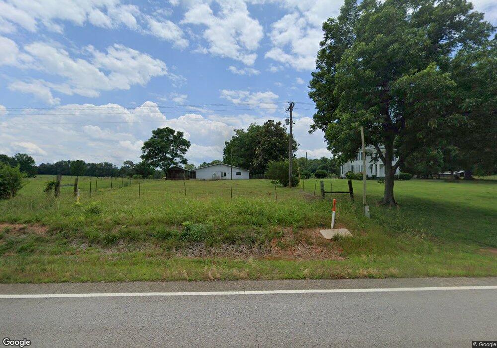
6041 Union Point Hwy Union Point, GA 30669
Estimated Value: $637,000
--
Bed
2
Baths
2,524
Sq Ft
$252/Sq Ft
Est. Value
About This Home
This home is located at 6041 Union Point Hwy, Union Point, GA 30669 and is currently estimated at $637,000, approximately $252 per square foot. 6041 Union Point Hwy is a home located in Greene County with nearby schools including Greene County High School.
Ownership History
Date
Name
Owned For
Owner Type
Purchase Details
Closed on
Nov 30, 2022
Sold by
Turner Jeannette B
Bought by
Dover Lynn T and Jeannette B Turner Irrev Trust
Current Estimated Value
Purchase Details
Closed on
Nov 8, 2001
Sold by
Turner Jeannette B
Bought by
Turner J B & Jbt Ent -Ga Lllp
Purchase Details
Closed on
Aug 2, 1999
Sold by
Turner Jeannette B
Bought by
Turner Jeannette B
Purchase Details
Closed on
Jun 18, 1999
Sold by
Turner W M
Bought by
Turner Jeannette B
Purchase Details
Closed on
Jan 1, 1961
Bought by
Turner W M
Create a Home Valuation Report for This Property
The Home Valuation Report is an in-depth analysis detailing your home's value as well as a comparison with similar homes in the area
Home Values in the Area
Average Home Value in this Area
Purchase History
| Date | Buyer | Sale Price | Title Company |
|---|---|---|---|
| Dover Lynn T | -- | -- | |
| Jbt Enterprises Of Ga Lllp | -- | -- | |
| Turner J B & Jbt Ent -Ga Lllp | -- | -- | |
| Turner Jeannette B | -- | -- | |
| Turner Jeannette B | -- | -- | |
| Turner W M | -- | -- |
Source: Public Records
Tax History Compared to Growth
Tax History
| Year | Tax Paid | Tax Assessment Tax Assessment Total Assessment is a certain percentage of the fair market value that is determined by local assessors to be the total taxable value of land and additions on the property. | Land | Improvement |
|---|---|---|---|---|
| 2025 | $724 | $224,240 | $217,480 | $6,760 |
| 2024 | $785 | $224,240 | $217,480 | $6,760 |
| 2023 | $768 | $164,920 | $158,080 | $6,840 |
| 2022 | $1,386 | $217,080 | $121,800 | $95,280 |
| 2021 | $1,229 | $202,920 | $121,800 | $81,120 |
| 2020 | $1,812 | $219,680 | $154,040 | $65,640 |
| 2019 | $1,846 | $219,680 | $154,040 | $65,640 |
| 2018 | $1,455 | $193,600 | $153,720 | $39,880 |
| 2017 | $1,350 | $193,723 | $153,758 | $39,965 |
| 2016 | $1,352 | $194,605 | $153,757 | $40,848 |
| 2015 | $1,309 | $194,605 | $153,758 | $40,848 |
| 2014 | $1,276 | $192,224 | $153,758 | $38,467 |
Source: Public Records
Map
Nearby Homes
- 1201 Buffalo Lick Rd
- 0 Buffalo Lick Rd Unit 10551234
- 0 Buffalo Lick Rd Unit 10551325
- 5401 Union Point Hwy
- 112 Hendry St
- 0 Woodland Ct Unit 10543600
- 1041 Hillcrest Dr
- 1860 Washington Hwy
- 202 Veazey St
- 1581 Highway 77 S
- 1241 Old Siloam Rd
- 324 N Rhodes St
- 1581 Highway 77 S Hwy
- 215 Hunter St
- 0 S Rhodes St Unit 10618488
- 0 Washington Hwy Unit 7276060
- 3090 Bethany Church Rd
- 1251 Brick House Rd
- 1251 Brickhouse Rd
- 0 Old Union Point Rd Unit 1 10557753
- 5901 Union Point Hwy
- 5830 Union Point Hwy
- 1180 Cecil Corry Rd
- 5800 Union Point Hwy
- 5791 Union Point Hwy
- 5771 Union Point Hwy
- 5691 Union Point Hwy
- 0 Buffalo Lick Rd Unit 10551328
- 0 Buffalo Lick Rd Unit 10445780
- 0 Buffalo Lick Rd Unit 10339030
- 0 Buffalo Lick Rd Unit 20164420
- 0 Buffalo Lick Rd Unit 20136813
- 0 Buffalo Lick Rd Unit 20136680
- 0 Buffalo Lick Rd Unit 10183736
- 0 Buffalo Lick Rd Unit 8877389
- Buffalo Li Buffalo Lick Rd
- 1101 Buffalo Lick Rd
- Buff Buffalo Lick Rd
- 1301 Buffalo Lick Rd
- 6561 Union Point Hwy