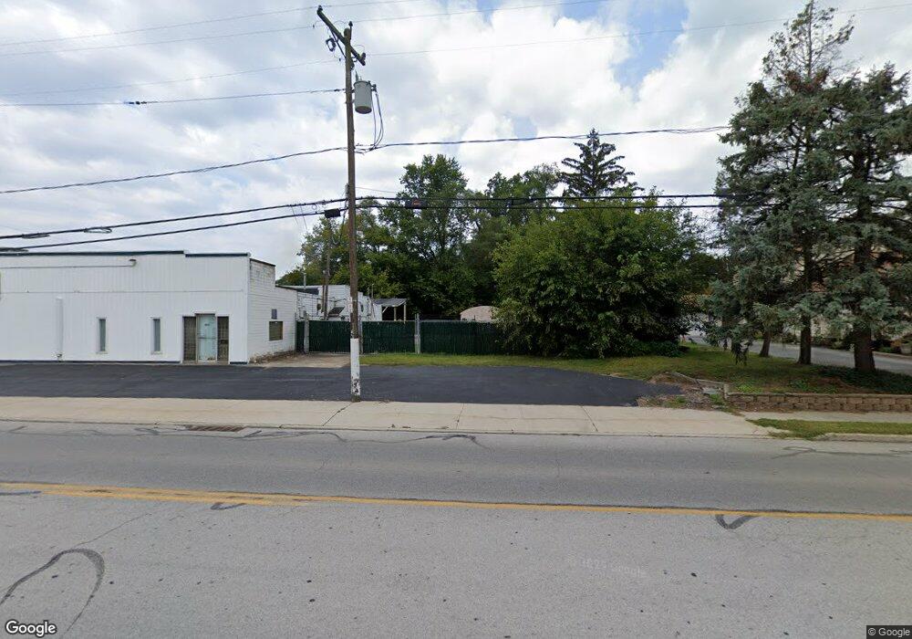
6043 Secor Rd Toledo, OH 43613
Franklin Park NeighborhoodEstimated Value: $85,045 - $156,000
3
Beds
1
Bath
1,312
Sq Ft
$92/Sq Ft
Est. Value
About This Home
This home is located at 6043 Secor Rd, Toledo, OH 43613 and is currently estimated at $120,523, approximately $91 per square foot. 6043 Secor Rd is a home located in Lucas County with nearby schools including Hiawatha Elementary School, Washington Junior High School, and Jefferson Junior High School.
Ownership History
Date
Name
Owned For
Owner Type
Purchase Details
Closed on
Sep 3, 2019
Sold by
Reliance Bottle Gas Company Inc
Bought by
Mrj Holdings Llc
Current Estimated Value
Purchase Details
Closed on
Jul 14, 2014
Sold by
Miller Carol
Bought by
Reliance Bottle Gas Company Inc
Purchase Details
Closed on
Oct 9, 2013
Sold by
Reliance Bottle Gas Co Inc
Bought by
Miller Harold A and Miller Carol
Purchase Details
Closed on
Oct 28, 2008
Sold by
Smith Betty Jane
Bought by
Reliance Bottle Gas Co Inc
Purchase Details
Closed on
Sep 24, 1999
Sold by
Smith Betty Jane
Bought by
Smith Betty Jane and Smith Family Trust
Create a Home Valuation Report for This Property
The Home Valuation Report is an in-depth analysis detailing your home's value as well as a comparison with similar homes in the area
Home Values in the Area
Average Home Value in this Area
Purchase History
| Date | Buyer | Sale Price | Title Company |
|---|---|---|---|
| Mrj Holdings Llc | -- | -- | |
| Reliance Bottle Gas Company Inc | -- | None Available | |
| Miller Harold A | $178,200 | None Available | |
| Reliance Bottle Gas Co Inc | $110,000 | Birch Tree Title Agency | |
| Smith Betty Jane | -- | -- |
Source: Public Records
Tax History Compared to Growth
Tax History
| Year | Tax Paid | Tax Assessment Tax Assessment Total Assessment is a certain percentage of the fair market value that is determined by local assessors to be the total taxable value of land and additions on the property. | Land | Improvement |
|---|---|---|---|---|
| 2024 | $333 | $8,190 | $7,455 | $735 |
| 2023 | $640 | $6,685 | $6,195 | $490 |
| 2022 | $625 | $6,685 | $6,195 | $490 |
| 2021 | $646 | $6,685 | $6,195 | $490 |
| 2020 | $670 | $5,705 | $5,285 | $420 |
| 2019 | $634 | $5,705 | $5,285 | $420 |
| 2018 | $631 | $5,705 | $5,285 | $420 |
| 2017 | $612 | $5,880 | $5,180 | $700 |
| 2016 | $634 | $16,800 | $14,800 | $2,000 |
| 2015 | $660 | $16,800 | $14,800 | $2,000 |
| 2014 | $1,571 | $22,440 | $5,180 | $17,260 |
| 2013 | $1,571 | $22,440 | $5,180 | $17,260 |
Source: Public Records
Map
Nearby Homes
- 3145 Brock Dr
- 6051 Acoma Dr
- 6032 Atwell Rd
- 3456 W Alexis Rd
- 6036 Fairhaven Dr
- 5902 Deane Dr
- 5627 Chippewa Rd
- 2823 Provincetowne Dr
- 5623 Mantey Ln
- 5848 Meteor Ave
- 6111 Meteor Ave
- 5658 Adelaide Dr
- 6704 Summerlyn Lakes Dr
- 5501 Ruth Ave
- 5951 Everwood Rd
- 6102 Everwood Rd
- 2807 W Smith
- 4022 Clover Ridge Ct
- 2620 Elmridge Rd
- 5523 Fenwick Dr
- 6051 Secor Rd
- 6055 Secor Rd
- 3315 Morrell Dr
- 3319 Morrell Dr
- 6044 Secor Rd
- 3323 Morrell Dr
- 6063 Secor Rd
- 6046 Whiteford Center Rd
- 3327 Morrell Dr
- 6056 Secor Rd
- 3316 Morrell Dr
- 6056 Whiteford Center Rd
- 6060 Whiteford Center Rd
- 3320 Morrell Dr
- 6071 Secor Rd
- 3258 Mona Ln
- 3324 Morrell Dr
- 6022 Secor Rd
- 3247 Keemont Dr