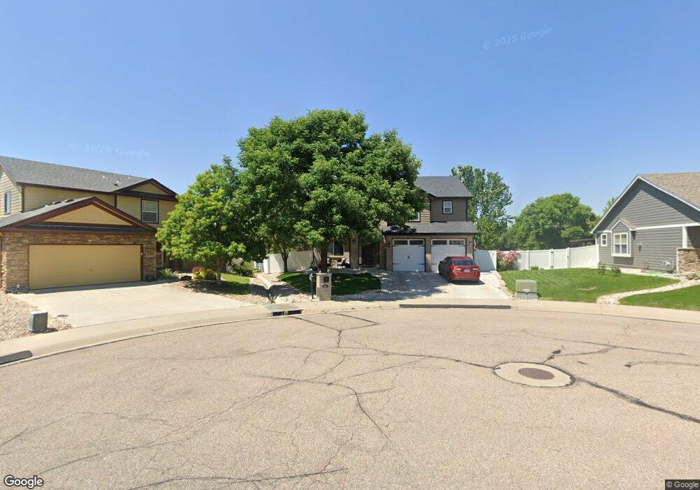
6043 W A St Greeley, CO 80634
Estimated Value: $463,515 - $528,000
3
Beds
4
Baths
1,843
Sq Ft
$276/Sq Ft
Est. Value
About This Home
This home is located at 6043 W A St, Greeley, CO 80634 and is currently estimated at $508,879, approximately $276 per square foot. 6043 W A St is a home located in Weld County with nearby schools including Winograd K-8 Elementary School, Northridge High School, and West Ridge Academy Charter.
Ownership History
Date
Name
Owned For
Owner Type
Purchase Details
Closed on
Oct 19, 2004
Sold by
Samson & Samson Homes Llc
Bought by
Johnson Eric C and Johnson Tina L
Current Estimated Value
Home Financials for this Owner
Home Financials are based on the most recent Mortgage that was taken out on this home.
Original Mortgage
$175,920
Outstanding Balance
$81,116
Interest Rate
4.75%
Mortgage Type
Unknown
Estimated Equity
$427,763
Create a Home Valuation Report for This Property
The Home Valuation Report is an in-depth analysis detailing your home's value as well as a comparison with similar homes in the area
Purchase History
| Date | Buyer | Sale Price | Title Company |
|---|---|---|---|
| Johnson Eric C | $219,900 | -- |
Source: Public Records
Mortgage History
| Date | Status | Borrower | Loan Amount |
|---|---|---|---|
| Open | Johnson Eric C | $175,920 | |
| Closed | Johnson Eric C | $43,980 |
Source: Public Records
Tax History
| Year | Tax Paid | Tax Assessment Tax Assessment Total Assessment is a certain percentage of the fair market value that is determined by local assessors to be the total taxable value of land and additions on the property. | Land | Improvement |
|---|---|---|---|---|
| 2025 | $2,366 | $29,210 | $7,190 | $22,020 |
| 2024 | $2,366 | $29,210 | $7,190 | $22,020 |
| 2023 | $2,256 | $31,750 | $5,340 | $26,410 |
| 2022 | $2,231 | $25,460 | $4,870 | $20,590 |
| 2021 | $2,302 | $26,200 | $5,010 | $21,190 |
| 2020 | $2,137 | $24,400 | $3,580 | $20,820 |
| 2019 | $2,143 | $24,400 | $3,580 | $20,820 |
| 2018 | $1,701 | $20,440 | $2,880 | $17,560 |
| 2017 | $1,711 | $20,440 | $2,880 | $17,560 |
| 2016 | $1,484 | $19,940 | $3,180 | $16,760 |
| 2015 | $1,478 | $19,940 | $3,180 | $16,760 |
| 2014 | $1,228 | $16,170 | $2,790 | $13,380 |
Source: Public Records
Map
Nearby Homes
Your Personal Tour Guide
Ask me questions while you tour the home.