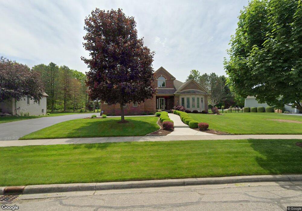
6044 Brookstone Ln Unit 120 Grand Blanc, MI 48439
Estimated Value: $630,532 - $693,000
4
Beds
4
Baths
3,227
Sq Ft
$205/Sq Ft
Est. Value
About This Home
This home is located at 6044 Brookstone Ln Unit 120, Grand Blanc, MI 48439 and is currently estimated at $660,633, approximately $204 per square foot. 6044 Brookstone Ln Unit 120 is a home located in Genesee County with nearby schools including Cook Elementary School, Mason Elementary School, and Grand Blanc East Middle School.
Ownership History
Date
Name
Owned For
Owner Type
Purchase Details
Closed on
Feb 10, 2011
Sold by
Caldwell William
Bought by
The Caldwell Revocable Living Trust
Current Estimated Value
Purchase Details
Closed on
Sep 1, 2004
Sold by
Caldwell William
Bought by
Cecelia A Caldwell Revocable Living Tr
Purchase Details
Closed on
Nov 14, 2003
Sold by
Odette Christopher R and Sutphen Peggy S
Bought by
Caldwell William
Create a Home Valuation Report for This Property
The Home Valuation Report is an in-depth analysis detailing your home's value as well as a comparison with similar homes in the area
Home Values in the Area
Average Home Value in this Area
Purchase History
| Date | Buyer | Sale Price | Title Company |
|---|---|---|---|
| The Caldwell Revocable Living Trust | -- | None Available | |
| Cecelia A Caldwell Revocable Living Tr | -- | -- | |
| William Caldwell Jr Revocable Living Tr | -- | -- | |
| Caldwell William | $395,000 | Sargents Title Company |
Source: Public Records
Tax History Compared to Growth
Tax History
| Year | Tax Paid | Tax Assessment Tax Assessment Total Assessment is a certain percentage of the fair market value that is determined by local assessors to be the total taxable value of land and additions on the property. | Land | Improvement |
|---|---|---|---|---|
| 2024 | $4,695 | $305,400 | $0 | $0 |
| 2023 | $4,480 | $261,900 | $0 | $0 |
| 2022 | $6,883 | $196,100 | $0 | $0 |
| 2021 | $6,772 | $188,300 | $0 | $0 |
| 2020 | $4,131 | $195,000 | $0 | $0 |
| 2019 | $4,069 | $184,000 | $0 | $0 |
| 2018 | $6,284 | $179,300 | $0 | $0 |
| 2017 | $5,885 | $171,900 | $0 | $0 |
| 2016 | $5,850 | $168,100 | $0 | $0 |
| 2015 | $5,754 | $163,900 | $0 | $0 |
| 2012 | -- | $140,600 | $140,600 | $0 |
Source: Public Records
Map
Nearby Homes
- 74 Westwood Dr
- 75 Westwood Dr
- 76 Westwood Dr
- 0 Westwood Dr Unit 20240007181
- 77 Westwood Dr
- 78 Westwood Dr
- 10195 Golfside Dr
- 5681 Woodfield Pkwy Unit 52
- 6138 Natures Cove Unit 14
- 5808 Woodfield Pkwy
- 26 Woodfield Pkwy
- 125 Woodfield Pkwy
- 11204 Pinehurst Ln Unit 12
- 9818 Burning Tree Dr
- 11206 Pinehurst Ln
- 12201 Pinehurst Ln Unit 29
- 10338 Edgewood Ct Unit 43
- 14301 Pinehurst Ln
- 14203 Pinehurst Ln
- 14105 Pinehurst Ln
- 6036 Brookstone Ln Unit 121
- 6052 Brookstone Ln
- 6045 Andover Ct Unit 109
- 6043 Brookstone Ln Unit 86
- 6051 Brookstone Ln
- 6028 Brookstone Ln Unit 122
- 6060 Brookstone Ln
- 110 Andover Ct
- 6035 Brookstone Ln Unit 85
- 6059 Brookstone Ln Unit 88
- 6020 Brookstone Ln
- 6029 Brookstone Ln Unit 84
- 6068 Brookstone Ln
- 6071 Andover Ct
- 6028 Andover Ct Unit 107
- 6095 Andover Ct
- 6067 Brookstone Ln Unit 89
- 6023 Brookstone Ln Unit 83
- 5571 Woodfield Pkwy Unit 39
- 6048 Andover Ct