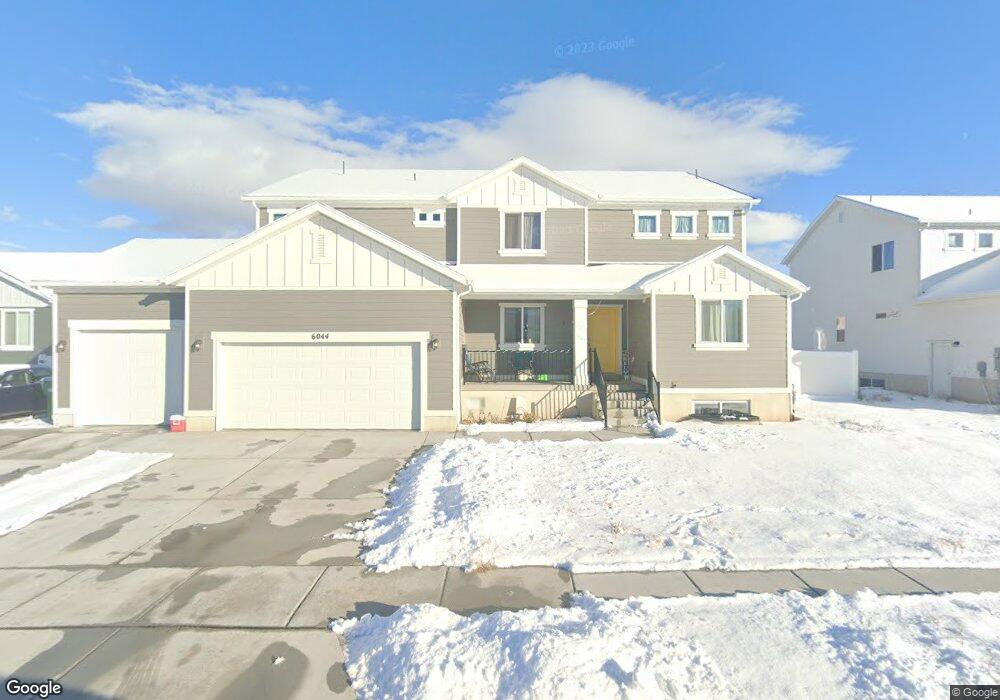
6044 S 4325 W Hooper, UT 84315
Estimated Value: $694,000 - $782,000
6
Beds
2
Baths
3,438
Sq Ft
$214/Sq Ft
Est. Value
About This Home
This home is located at 6044 S 4325 W, Hooper, UT 84315 and is currently estimated at $734,059, approximately $213 per square foot. 6044 S 4325 W is a home with nearby schools including Freedom School, Roy Junior High School, and Roy High School.
Ownership History
Date
Name
Owned For
Owner Type
Purchase Details
Closed on
Jul 29, 2021
Sold by
Anderson Cami
Bought by
Anderson Cami and Anderson Michael Lester
Current Estimated Value
Home Financials for this Owner
Home Financials are based on the most recent Mortgage that was taken out on this home.
Original Mortgage
$435,778
Outstanding Balance
$396,435
Interest Rate
2.93%
Mortgage Type
New Conventional
Estimated Equity
$337,624
Purchase Details
Closed on
Jul 27, 2021
Sold by
Woodside Homes Of Utah Llc
Bought by
Anderson Cami
Home Financials for this Owner
Home Financials are based on the most recent Mortgage that was taken out on this home.
Original Mortgage
$435,778
Outstanding Balance
$396,435
Interest Rate
2.93%
Mortgage Type
New Conventional
Estimated Equity
$337,624
Create a Home Valuation Report for This Property
The Home Valuation Report is an in-depth analysis detailing your home's value as well as a comparison with similar homes in the area
Home Values in the Area
Average Home Value in this Area
Purchase History
| Date | Buyer | Sale Price | Title Company |
|---|---|---|---|
| Anderson Cami | -- | Us Title Insurance Agency | |
| Anderson Cami | -- | Us Title Insurance Agency |
Source: Public Records
Mortgage History
| Date | Status | Borrower | Loan Amount |
|---|---|---|---|
| Open | Anderson Cami | $435,778 |
Source: Public Records
Tax History Compared to Growth
Tax History
| Year | Tax Paid | Tax Assessment Tax Assessment Total Assessment is a certain percentage of the fair market value that is determined by local assessors to be the total taxable value of land and additions on the property. | Land | Improvement |
|---|---|---|---|---|
| 2025 | $4,445 | $724,777 | $195,038 | $529,739 |
| 2024 | $4,519 | $752,000 | $194,983 | $557,017 |
| 2023 | $4,070 | $668,000 | $194,962 | $473,038 |
| 2022 | $4,326 | $733,000 | $149,948 | $583,052 |
| 2021 | $1,363 | $104,912 | $104,912 | $0 |
| 2020 | $1,391 | $99,928 | $99,928 | $0 |
| 2019 | $0 | $0 | $0 | $0 |
Source: Public Records
Map
Nearby Homes
- 4276 W 6025 S
- 3016 W 2650 N
- 2571 N 3200 W
- 3028 W 2600 N
- 2616 N 3020 W
- 3186 W 2600 N
- 4438 W 6025 S
- 462 S 4450 W Unit 504
- 4164 W 5950 S
- 2542 N 3300 W
- 5778 S 4075 W
- 2592 W 2650 N
- 339 N 3250 W Unit 12
- 2444 N Stanley Crane Dr
- 4632 W 5750 S
- 5644 S 4075 W
- 3923 W 5700 S
- 5610 S 4075 W
- 5619 S 4525 W
- 2322 N 2500 W