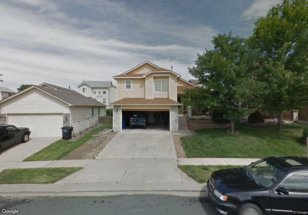
6045 Papoose Ln Colorado Springs, CO 80923
Sundown NeighborhoodEstimated Value: $421,000 - $445,000
3
Beds
3
Baths
1,470
Sq Ft
$294/Sq Ft
Est. Value
About This Home
This home is located at 6045 Papoose Ln, Colorado Springs, CO 80923 and is currently estimated at $432,707, approximately $294 per square foot. 6045 Papoose Ln is a home located in El Paso County with nearby schools including Scott Elementary School, Jenkins Middle School, and Doherty High School.
Ownership History
Date
Name
Owned For
Owner Type
Purchase Details
Closed on
Aug 15, 1996
Sold by
Creekstone Development Inc
Bought by
Mccampbell Cedric and Mccampbell Vickie
Current Estimated Value
Home Financials for this Owner
Home Financials are based on the most recent Mortgage that was taken out on this home.
Original Mortgage
$125,235
Outstanding Balance
$10,085
Interest Rate
8.42%
Mortgage Type
FHA
Estimated Equity
$422,622
Purchase Details
Closed on
Apr 29, 1996
Sold by
Development Management Inc
Bought by
Creekstone Development Inc
Home Financials for this Owner
Home Financials are based on the most recent Mortgage that was taken out on this home.
Original Mortgage
$21,126
Interest Rate
8%
Mortgage Type
Seller Take Back
Create a Home Valuation Report for This Property
The Home Valuation Report is an in-depth analysis detailing your home's value as well as a comparison with similar homes in the area
Home Values in the Area
Average Home Value in this Area
Purchase History
| Date | Buyer | Sale Price | Title Company |
|---|---|---|---|
| Mccampbell Cedric | $126,450 | Unified Title Co Inc | |
| Creekstone Development Inc | $21,126 | Unified Title Co Inc |
Source: Public Records
Mortgage History
| Date | Status | Borrower | Loan Amount |
|---|---|---|---|
| Open | Mccampbell Cedric | $125,235 | |
| Previous Owner | Creekstone Development Inc | $21,126 |
Source: Public Records
Tax History Compared to Growth
Tax History
| Year | Tax Paid | Tax Assessment Tax Assessment Total Assessment is a certain percentage of the fair market value that is determined by local assessors to be the total taxable value of land and additions on the property. | Land | Improvement |
|---|---|---|---|---|
| 2025 | $1,543 | $30,010 | -- | -- |
| 2024 | $1,429 | $30,280 | $4,820 | $25,460 |
| 2023 | $1,429 | $30,280 | $4,820 | $25,460 |
| 2022 | $1,298 | $21,680 | $4,000 | $17,680 |
| 2021 | $1,404 | $22,300 | $4,110 | $18,190 |
| 2020 | $1,323 | $18,420 | $3,580 | $14,840 |
| 2019 | $1,316 | $18,420 | $3,580 | $14,840 |
| 2018 | $1,201 | $15,530 | $2,880 | $12,650 |
| 2017 | $1,140 | $15,530 | $2,880 | $12,650 |
| 2016 | $943 | $15,230 | $3,020 | $12,210 |
| 2015 | $939 | $15,230 | $3,020 | $12,210 |
| 2014 | $888 | $13,850 | $3,020 | $10,830 |
Source: Public Records
Map
Nearby Homes
- 6026 Oakwood Blvd
- 5340 Slickrock Dr
- 5346 Sunshade Point
- 5340 Sunshade Point
- 5551 Sunshade Point
- 5185 Balsam St
- 5956 Santana Dr
- 6556 Emerald Isle Heights
- 5639 Sunshade Point
- 6030 Grapevine Dr
- 5127 Rushford Place
- 5677 Saint Patrick View
- 5965 Corinth Dr
- 5940 Corinth Dr
- The Gladstone Plan at Ascent at Woodmen Heights
- The Belford Plan at Ascent at Woodmen Heights
- The Crestone Plan at Ascent at Woodmen Heights
- The Elbert Plan at Ascent at Woodmen Heights
- 5123 Stillwater Dr
- 6648 Sleeping Giant Dr