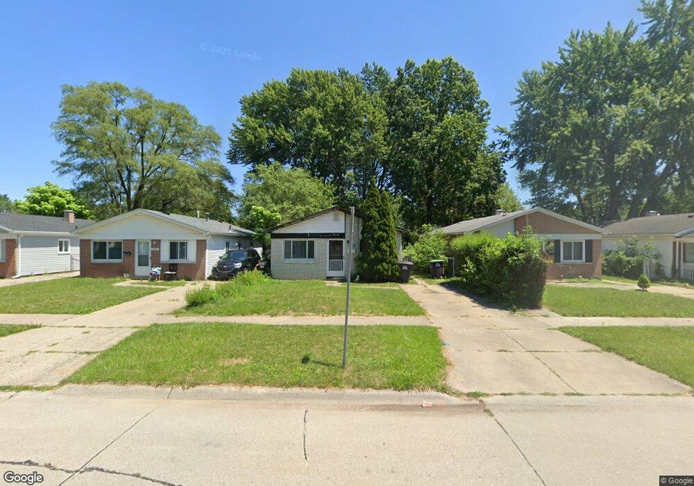
6045 Sylvia St Taylor, MI 48180
Estimated Value: $135,748 - $148,000
Studio
--
Bath
932
Sq Ft
$152/Sq Ft
Est. Value
About This Home
This home is located at 6045 Sylvia St, Taylor, MI 48180 and is currently estimated at $141,937, approximately $152 per square foot. 6045 Sylvia St is a home located in Wayne County with nearby schools including Holland Elementary School, Hoover Middle School, and Taylor High School.
Ownership History
Date
Name
Owned For
Owner Type
Purchase Details
Closed on
Dec 1, 2020
Sold by
Copp Mark Allen and Estate Of Jeannie K Lee
Bought by
Copp Mark
Current Estimated Value
Purchase Details
Closed on
Dec 30, 2005
Sold by
Lee Robert E
Bought by
Lee Jeannie Kay
Home Financials for this Owner
Home Financials are based on the most recent Mortgage that was taken out on this home.
Original Mortgage
$61,000
Outstanding Balance
$34,671
Interest Rate
6.46%
Mortgage Type
Fannie Mae Freddie Mac
Estimated Equity
$107,266
Create a Home Valuation Report for This Property
The Home Valuation Report is an in-depth analysis detailing your home's value as well as a comparison with similar homes in the area
Home Values in the Area
Average Home Value in this Area
Purchase History
| Date | Buyer | Sale Price | Title Company |
|---|---|---|---|
| Copp Mark | -- | None Available | |
| Lee Jeannie Kay | -- | Multiple |
Source: Public Records
Mortgage History
| Date | Status | Borrower | Loan Amount |
|---|---|---|---|
| Open | Lee Jeannie Kay | $61,000 |
Source: Public Records
Tax History
| Year | Tax Paid | Tax Assessment Tax Assessment Total Assessment is a certain percentage of the fair market value that is determined by local assessors to be the total taxable value of land and additions on the property. | Land | Improvement |
|---|---|---|---|---|
| 2025 | $2,316 | $54,800 | $0 | $0 |
| 2024 | $1,069 | $47,600 | $0 | $0 |
| 2023 | $1,724 | $43,200 | $0 | $0 |
| 2022 | $1,020 | $35,900 | $0 | $0 |
| 2021 | $1,575 | $33,500 | $0 | $0 |
| 2020 | $1,600 | $32,200 | $0 | $0 |
| 2019 | $204,384 | $27,900 | $0 | $0 |
| 2018 | $876 | $24,300 | $0 | $0 |
| 2017 | $1,490 | $24,200 | $0 | $0 |
| 2016 | $1,521 | $23,500 | $0 | $0 |
| 2015 | $1,980 | $19,800 | $0 | $0 |
| 2013 | $2,170 | $22,500 | $0 | $0 |
| 2012 | $969 | $21,900 | $6,100 | $15,800 |
Source: Public Records
Map
Nearby Homes
- 27059 Jeannette Ct
- 6144 Princess St
- 27032 Joan St
- 5940 Daniels St
- 6198 Princess St
- 27029 Michelle Ct
- 5970 John Daly St
- 6237 Inkster Rd
- 6330 Hampden St
- 6334 Hampden St
- 26424 Beverly Rd
- 6310 Duncan St
- 26532 Powers Ave
- 26215 Beverly Rd
- 6041 Fellrath St
- 5132 S Inkster Rd
- 26131 Amherst St
- 4863 Glenis St
- 25908 Beverly Rd
- 6143 Mcguire St
- 6039 Sylvia St
- 6051 Sylvia St
- 6035 Sylvia St
- 6025 Sylvia St
- 6017 Sylvia St
- 6034 Hazel St
- 6038 Hazel St
- 6030 Hazel St
- 27008 Jeannette St
- 27008 Jeanette St
- 27008 Jeannette Ct
- 6044 Hazel St
- 6024 Hazel St
- 6024 Hazel St Unit 6024 HAZEL
- 6067 Sylvia St
- 6009 Sylvia St
- 6058 Hazel St
- 27007 Avalon St
- 6079 Sylvia St
- 27009 Jeannette Ct
Your Personal Tour Guide
Ask me questions while you tour the home.