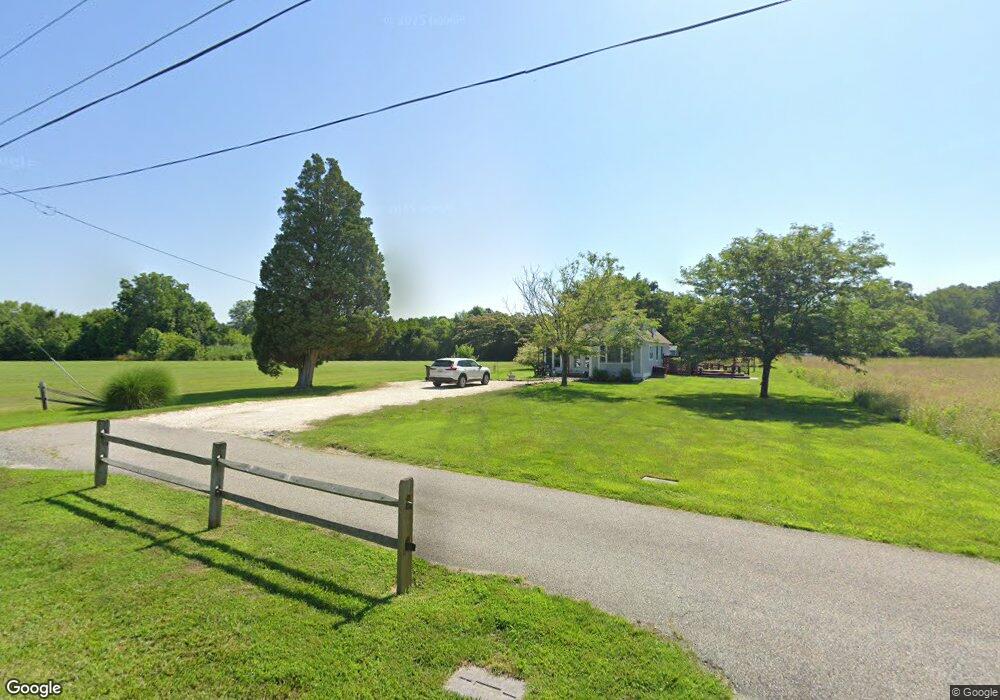
6047 Hynson Rd Rock Hall, MD 21661
Estimated Value: $220,000 - $265,217
2
Beds
1
Bath
944
Sq Ft
$265/Sq Ft
Est. Value
About This Home
This home is located at 6047 Hynson Rd, Rock Hall, MD 21661 and is currently estimated at $250,054, approximately $264 per square foot. 6047 Hynson Rd is a home located in Kent County with nearby schools including Kent County Middle School and Kent County High School.
Ownership History
Date
Name
Owned For
Owner Type
Purchase Details
Closed on
Sep 26, 2025
Sold by
Beekman Elizabeth M
Bought by
Beekman Elizabeth M
Current Estimated Value
Purchase Details
Closed on
Aug 7, 2025
Sold by
Beekman Lorraine H
Bought by
Beekman Elizabeth M
Purchase Details
Closed on
Jun 14, 2012
Sold by
Beekman H Edward and Estate Of Lorraine H Beekman
Bought by
Beekman Beekman H and Beekman Lorraine H
Purchase Details
Closed on
Jul 9, 1986
Sold by
Hynson Walter M and Emmy Elsie
Bought by
Beekman Lorraine H
Create a Home Valuation Report for This Property
The Home Valuation Report is an in-depth analysis detailing your home's value as well as a comparison with similar homes in the area
Purchase History
| Date | Buyer | Sale Price | Title Company |
|---|---|---|---|
| Beekman Elizabeth M | -- | None Listed On Document | |
| Beekman Elizabeth M | -- | None Listed On Document | |
| Lorraine H Beekman Trust | -- | None Listed On Document | |
| Lorraine H Beekman Trust | -- | None Listed On Document | |
| Beekman Beekman H | -- | None Available | |
| Beekman Lorraine H | $47,000 | -- |
Source: Public Records
Tax History
| Year | Tax Paid | Tax Assessment Tax Assessment Total Assessment is a certain percentage of the fair market value that is determined by local assessors to be the total taxable value of land and additions on the property. | Land | Improvement |
|---|---|---|---|---|
| 2025 | $3,222 | $212,800 | $0 | $0 |
| 2024 | $3,158 | $207,200 | $133,700 | $73,500 |
| 2023 | $3,130 | $205,400 | $0 | $0 |
| 2022 | $3,062 | $203,600 | $0 | $0 |
| 2021 | $2,968 | $201,800 | $133,700 | $68,100 |
| 2020 | $2,968 | $201,367 | $0 | $0 |
| 2019 | $2,962 | $200,933 | $0 | $0 |
| 2018 | $2,915 | $200,500 | $133,700 | $66,800 |
| 2017 | $2,915 | $200,500 | $0 | $0 |
| 2016 | -- | $200,500 | $0 | $0 |
| 2015 | $3,256 | $201,800 | $0 | $0 |
| 2014 | $3,256 | $201,800 | $0 | $0 |
Source: Public Records
Map
Nearby Homes
- 20992 Rock Hall Ave
- 5827 S Hawthorne Ave
- 6124 Tolchester Rd
- 5786 S Hawthorne Ave
- 5916 N Main St
- 5807 Blue Claw Ct
- 21305 Haven Rd
- 6119 New St Unit 2
- 21235 Rock Hall Ave
- 21103 Striper Run
- 21336 Haven Rd
- 21124 Striper Run
- 20812 Mercer Ave
- 5883 Williams St
- 5898 Williams St
- 21133 Striper Run
- 21131 Striper Run
- 21090 W Sharp St Unit 133
- 21090 W Sharp St Unit 112
- 0 Walnut St
Your Personal Tour Guide
Ask me questions while you tour the home.