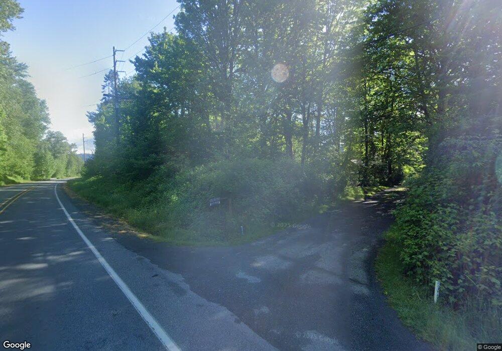
6047 Mt Baker Hwy Deming, WA 98244
Estimated Value: $523,000 - $624,000
5
Beds
4
Baths
1,040
Sq Ft
$538/Sq Ft
Est. Value
About This Home
This home is located at 6047 Mt Baker Hwy, Deming, WA 98244 and is currently estimated at $559,556, approximately $538 per square foot. 6047 Mt Baker Hwy is a home located in Whatcom County with nearby schools including Mount Baker Senior High School.
Ownership History
Date
Name
Owned For
Owner Type
Purchase Details
Closed on
Sep 30, 2021
Sold by
Nelson Mark K
Bought by
Barnholt David and Barnholt Kyra
Current Estimated Value
Home Financials for this Owner
Home Financials are based on the most recent Mortgage that was taken out on this home.
Original Mortgage
$382,500
Outstanding Balance
$348,804
Interest Rate
2.8%
Mortgage Type
New Conventional
Estimated Equity
$210,752
Purchase Details
Closed on
Sep 7, 2011
Sold by
Nelson Mark K and Nelson Elyse M
Bought by
Nelson Mark K
Create a Home Valuation Report for This Property
The Home Valuation Report is an in-depth analysis detailing your home's value as well as a comparison with similar homes in the area
Home Values in the Area
Average Home Value in this Area
Purchase History
| Date | Buyer | Sale Price | Title Company |
|---|---|---|---|
| Barnholt David | $450,000 | Chicago Title | |
| Bernholt David | $450,000 | Chicago Title Bellingham | |
| Nelson Mark K | -- | None Available |
Source: Public Records
Mortgage History
| Date | Status | Borrower | Loan Amount |
|---|---|---|---|
| Open | Bernholt David | $382,500 | |
| Closed | Barnholt David | $382,500 |
Source: Public Records
Tax History Compared to Growth
Tax History
| Year | Tax Paid | Tax Assessment Tax Assessment Total Assessment is a certain percentage of the fair market value that is determined by local assessors to be the total taxable value of land and additions on the property. | Land | Improvement |
|---|---|---|---|---|
| 2024 | $4,118 | $462,041 | $231,400 | $230,641 |
| 2023 | $4,118 | $559,061 | $288,831 | $270,230 |
| 2022 | $3,328 | $458,236 | $236,741 | $221,495 |
| 2021 | $3,148 | $365,040 | $186,417 | $178,623 |
| 2020 | $2,897 | $309,356 | $157,981 | $151,375 |
| 2019 | $2,590 | $272,566 | $139,193 | $133,373 |
| 2018 | $3,351 | $262,789 | $134,200 | $128,589 |
| 2017 | $3,027 | $267,318 | $134,141 | $133,177 |
| 2016 | $2,912 | $258,037 | $129,484 | $128,553 |
| 2015 | $2,727 | $246,435 | $123,662 | $122,773 |
| 2014 | -- | $232,047 | $116,442 | $115,605 |
| 2013 | -- | $232,047 | $116,442 | $115,605 |
Source: Public Records
Map
Nearby Homes
- 5888 Mount Baker Hwy
- 5860 Bell Creek Logging Rd
- 6373 Eastwood Rd
- 6483 Mt Baker Hwy
- 0 N Fork Rd
- 5463 Mosquito Lake Rd
- 118 5 Big River Blvd W
- 6479 Little Big Horn Rd
- 134 5 W Big River Blvd
- 11 5 Big River Blvd SW
- 5510 Mt Baker Hwy
- 7911 Oregon Trail
- 7900 Oregon Trail
- 169 1 Fireside Lodge Cir
- 7933 Oregon Trail
- 190 1 Fireside Lodge Cir
- 187 Fireside Lodge Cir
- 7952 Apache Dr
- 7945 Santa fe Trail
- 116-6 Riverside Dr
- 6045 Mt Baker Hwy
- 6204 Mount Baker Hwy
- 6037 Mt Baker Hwy
- 6023 Mt Baker Hwy
- 6007 Mount Baker Hwy
- 6098 Mount Baker Hwy
- 6116 Mt Baker Hwy
- 6117 Mt Baker Hwy
- 6200 Mount Baker Hwy
- 6125 Mt Baker Hwy
- 6118 Mt Baker Hwy
- 5935 Mt Baker Hgw
- 5935 Mt Baker Hwy
- 5944 Mt Baker Hwy
- 6429 N Fork Rd
- 6171 Mt Baker Hwy
- 6168 Mt Baker Hwy
- 6500 Markel Rd
- 6541 Markel Rd
- 6501 Markel Rd
