6048 Morrow Ln Gibsonia, PA 15044
Estimated Value: $520,000 - $615,947
3
Beds
3
Baths
2,943
Sq Ft
$192/Sq Ft
Est. Value
About This Home
This home is located at 6048 Morrow Ln, Gibsonia, PA 15044 and is currently estimated at $563,987, approximately $191 per square foot. 6048 Morrow Ln is a home located in Allegheny County with nearby schools including Richland Elementary School, Eden Hall Upper Elementary, and Pine-Richland Middle School.
Ownership History
Date
Name
Owned For
Owner Type
Purchase Details
Closed on
Feb 3, 2017
Sold by
Salvatora David A
Bought by
Bazzani Jace P and Bazzani Ashley N
Current Estimated Value
Home Financials for this Owner
Home Financials are based on the most recent Mortgage that was taken out on this home.
Original Mortgage
$244,000
Outstanding Balance
$202,585
Interest Rate
4.3%
Mortgage Type
New Conventional
Estimated Equity
$361,402
Purchase Details
Closed on
Mar 9, 2011
Sold by
Salvatora Exr David A
Bought by
Salvatora David A
Create a Home Valuation Report for This Property
The Home Valuation Report is an in-depth analysis detailing your home's value as well as a comparison with similar homes in the area
Home Values in the Area
Average Home Value in this Area
Purchase History
| Date | Buyer | Sale Price | Title Company |
|---|---|---|---|
| Bazzani Jace P | $305,000 | Dacs | |
| Salvatora David A | $55,000 | -- |
Source: Public Records
Mortgage History
| Date | Status | Borrower | Loan Amount |
|---|---|---|---|
| Open | Bazzani Jace P | $244,000 |
Source: Public Records
Tax History Compared to Growth
Tax History
| Year | Tax Paid | Tax Assessment Tax Assessment Total Assessment is a certain percentage of the fair market value that is determined by local assessors to be the total taxable value of land and additions on the property. | Land | Improvement |
|---|---|---|---|---|
| 2025 | $8,199 | $303,600 | $73,200 | $230,400 |
| 2024 | $8,199 | $303,600 | $73,200 | $230,400 |
| 2023 | $8,199 | $303,600 | $73,200 | $230,400 |
| 2022 | $8,199 | $303,600 | $73,200 | $230,400 |
| 2021 | $1,436 | $303,600 | $73,200 | $230,400 |
| 2020 | $8,050 | $303,600 | $73,200 | $230,400 |
| 2019 | $6,197 | $303,600 | $73,200 | $230,400 |
| 2018 | $1,105 | $233,700 | $73,200 | $160,500 |
| 2017 | $6,109 | $233,700 | $73,200 | $160,500 |
| 2016 | $1,191 | $251,700 | $73,200 | $178,500 |
| 2015 | $1,191 | $251,700 | $73,200 | $178,500 |
| 2014 | $6,579 | $251,700 | $73,200 | $178,500 |
Source: Public Records
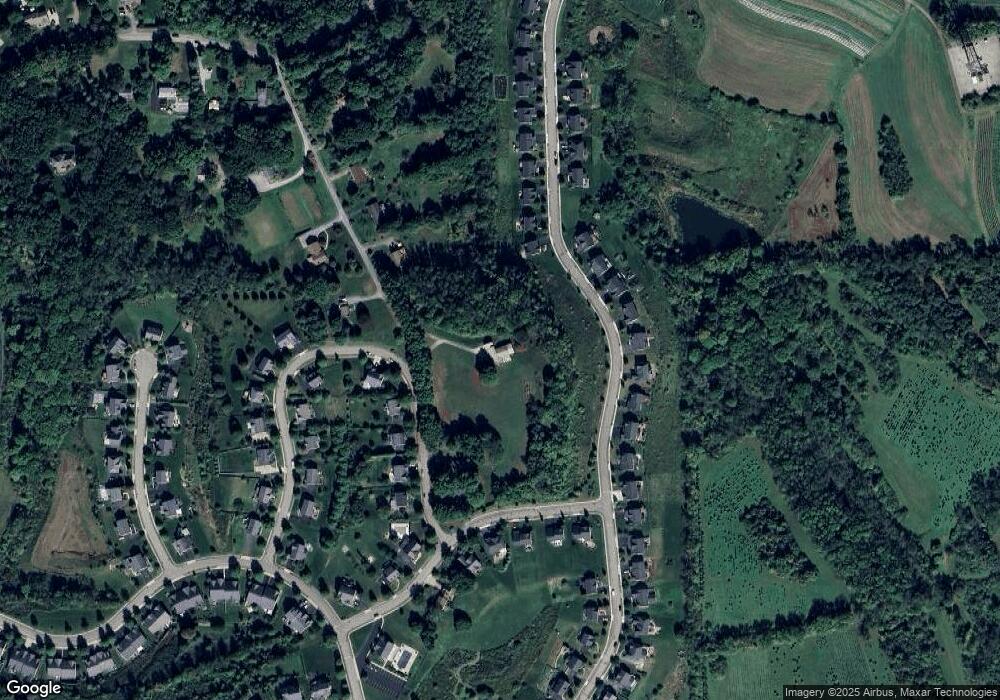
Map
Nearby Homes
- 404 Minglewood Dr
- 251 Estates Dr
- 132 Bellefield Ct
- 121 Bellefield Ct
- 1043 van Velsor Dr
- 113 Bellefield Ct
- 503 Kyle Ct
- 106 Maple Dr
- 0 Legion Dr
- 5910 Heckert Rd
- 211 Central Dr
- 1042 Beacon Hill Rd
- 632 Sandy Hill Rd
- 6076 William Flinn Hwy
- 744 Galloway Dr
- 146 Tanglewood Dr
- 3901 Bakerstown Rd
- 539 Madison Dr
- 4 Field Brook Ct
- 5706 Wesleyann Dr
- 421 Minglewood Dr
- 418 Minglewood Dr
- 420 Minglewood Dr
- 427 Minglewood Dr
- 422 Minglewood Dr
- 6060 Morrow Rd
- 721 Packsaddle Trail
- 424 Minglewood Dr
- 6069 Morrow Ln
- 410 Minglewood Dr
- 723 Packsaddle Trail
- 716 Packsaddle Trail
- 714 Packsaddle Trail
- 712 Packsaddle Trail
- 710 Packsaddle Trail
- 706 Packsaddle Trail
- 708 Packsaddle Trail
- 426 Minglewood Dr
- 704 Packsaddle Trail
- 718 Packsaddle Trail