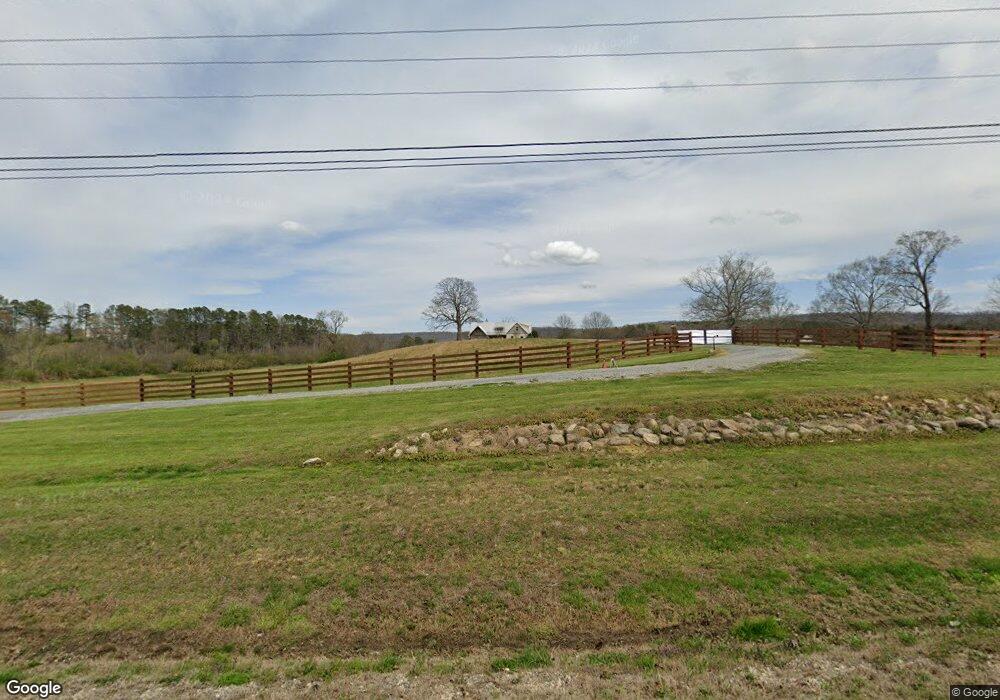
6049 Highway 95 Rock Spring, GA 30739
Rock Spring NeighborhoodEstimated Value: $356,000 - $539,602
--
Bed
1
Bath
2,100
Sq Ft
$213/Sq Ft
Est. Value
About This Home
This home is located at 6049 Highway 95, Rock Spring, GA 30739 and is currently estimated at $447,534, approximately $213 per square foot. 6049 Highway 95 is a home with nearby schools including Rock Spring Elementary School, Lafayette High School, and Alice M Daley Adventist School.
Ownership History
Date
Name
Owned For
Owner Type
Purchase Details
Closed on
Feb 27, 2023
Sold by
Ford T Aaron
Bought by
Rivero Felipe and Rivero Kim
Current Estimated Value
Purchase Details
Closed on
Oct 20, 2016
Sold by
Aaron T
Bought by
Ford Ford T and Ford Melissa R
Home Financials for this Owner
Home Financials are based on the most recent Mortgage that was taken out on this home.
Original Mortgage
$196,000
Interest Rate
3.48%
Mortgage Type
New Conventional
Purchase Details
Closed on
Jun 25, 2015
Sold by
Otting Billy J
Bought by
Ford Aaron
Purchase Details
Closed on
Dec 18, 2006
Sold by
Not Provided
Bought by
Otting Billy J and Otting Louise
Purchase Details
Closed on
Jan 1, 1972
Bought by
Ashley J P
Create a Home Valuation Report for This Property
The Home Valuation Report is an in-depth analysis detailing your home's value as well as a comparison with similar homes in the area
Home Values in the Area
Average Home Value in this Area
Purchase History
| Date | Buyer | Sale Price | Title Company |
|---|---|---|---|
| Rivero Felipe | -- | -- | |
| Ford Ford T | -- | -- | |
| Ford Aaron | $85,000 | -- | |
| Otting Billy J | $77,730 | -- | |
| Ashley J P | -- | -- |
Source: Public Records
Mortgage History
| Date | Status | Borrower | Loan Amount |
|---|---|---|---|
| Previous Owner | Ford Ford T | $196,000 |
Source: Public Records
Tax History Compared to Growth
Tax History
| Year | Tax Paid | Tax Assessment Tax Assessment Total Assessment is a certain percentage of the fair market value that is determined by local assessors to be the total taxable value of land and additions on the property. | Land | Improvement |
|---|---|---|---|---|
| 2024 | $3,099 | $166,882 | $43,492 | $123,390 |
| 2023 | $3,041 | $153,029 | $35,246 | $117,783 |
| 2022 | $3,012 | $128,611 | $20,389 | $108,222 |
| 2021 | $2,995 | $116,899 | $20,389 | $96,510 |
| 2020 | $2,681 | $101,557 | $20,389 | $81,168 |
| 2019 | $2,685 | $101,557 | $20,389 | $81,168 |
| 2018 | $2,687 | $101,557 | $20,389 | $81,168 |
| 2017 | $0 | $98,285 | $31,255 | $67,030 |
| 2016 | $175 | $20,389 | $20,389 | $0 |
| 2015 | $1,026 | $39,400 | $39,400 | $0 |
| 2014 | $994 | $39,400 | $39,400 | $0 |
| 2013 | $2,601 | $39,400 | $39,400 | $0 |
Source: Public Records
Map
Nearby Homes
- 0 Georgia 95
- 1314 Mcintire Rd
- 106 Meadow Oak Dr
- 1052 Huffman Rd
- 58 Oak Run
- 57 McGaha Rd
- 23 Oak Meadow Dr
- 5062 Georgia 95
- 533 Van Dell Dr
- 201 Van Dell Dr
- 7606 Highway 95
- 0 Clyde Byrd Rd
- 450 Arnold Ln
- 1934 Round Pond Rd
- 218 Golden Oaks Dr
- 0 Tarvin Rd Unit 1523862
- 1585 E Reed Rd
- 200 Ash Ln
- 287 E Teems Rd
- 0 Alabama Hwy Unit TRACT 3 10244950
- 6051 Highway 95
- 6113 Georgia 95
- 6113 Highway 95
- 6141 Highway 95
- 1415 Mcintire Rd
- 5816 Highway 95
- 6207 Highway 95 Hwy
- 6207 Georgia 95
- 6207 Hwy 95
- 6207 Hwy 95 Unit 1
- 1405 Mcintire Rd
- 42 Round Pond Rd
- 1 Round Pond Rd
- 2 Round Pond Rd
- 00 Misty Mountain Trail
- 1561 Mcintire Rd
- 35 Round Pond Rd
- 83 Round Pond Rd
- 55 Shipp Rd
- 5700 Highway 95