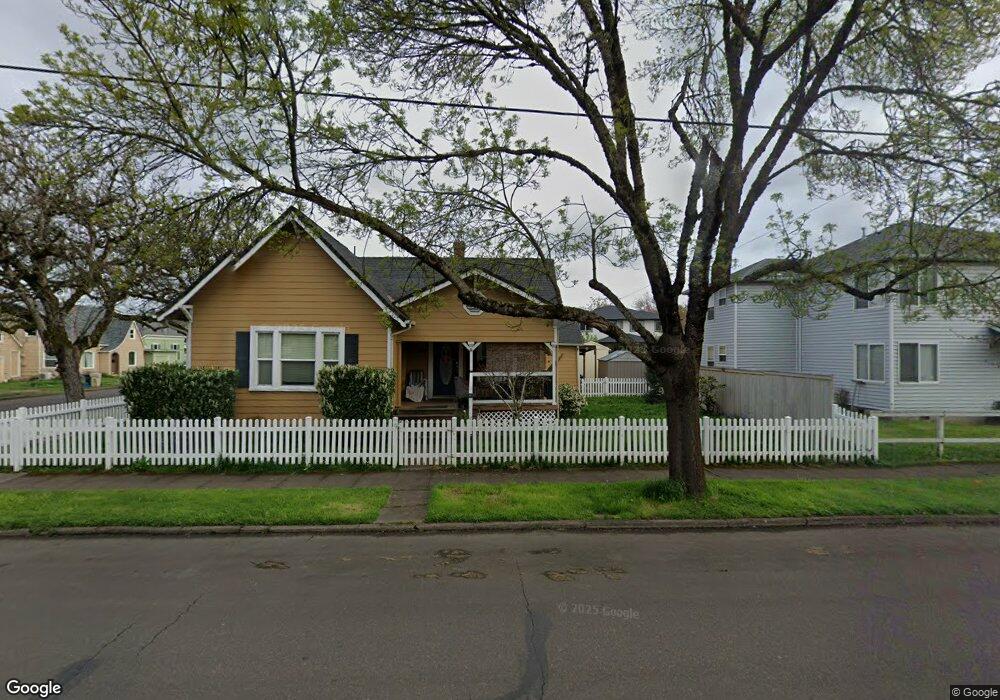
605 2nd Ave SE Albany, OR 97321
Central Albany NeighborhoodEstimated Value: $316,000 - $330,467
3
Beds
1
Bath
1,300
Sq Ft
$249/Sq Ft
Est. Value
About This Home
This home is located at 605 2nd Ave SE, Albany, OR 97321 and is currently estimated at $323,234, approximately $248 per square foot. 605 2nd Ave SE is a home located in Linn County with nearby schools including Central Elementary School, Takena Elementary School, and Memorial Middle School.
Ownership History
Date
Name
Owned For
Owner Type
Purchase Details
Closed on
Oct 17, 2005
Sold by
Reich Carl F and Reich Marianne
Bought by
Mckinley William Scott and Mckinley Kathryn Annette
Current Estimated Value
Home Financials for this Owner
Home Financials are based on the most recent Mortgage that was taken out on this home.
Original Mortgage
$100,100
Outstanding Balance
$52,947
Interest Rate
5.67%
Mortgage Type
Fannie Mae Freddie Mac
Estimated Equity
$270,287
Create a Home Valuation Report for This Property
The Home Valuation Report is an in-depth analysis detailing your home's value as well as a comparison with similar homes in the area
Home Values in the Area
Average Home Value in this Area
Purchase History
| Date | Buyer | Sale Price | Title Company |
|---|---|---|---|
| Mckinley William Scott | $125,180 | Lawyers Title Ins |
Source: Public Records
Mortgage History
| Date | Status | Borrower | Loan Amount |
|---|---|---|---|
| Open | Mckinley William Scott | $100,100 |
Source: Public Records
Tax History Compared to Growth
Tax History
| Year | Tax Paid | Tax Assessment Tax Assessment Total Assessment is a certain percentage of the fair market value that is determined by local assessors to be the total taxable value of land and additions on the property. | Land | Improvement |
|---|---|---|---|---|
| 2025 | $3,183 | $159,940 | -- | -- |
| 2024 | $3,091 | $155,290 | -- | -- |
| 2023 | $3,003 | $150,770 | $0 | $0 |
| 2022 | $2,956 | $146,380 | $0 | $0 |
| 2021 | $2,782 | $142,120 | $0 | $0 |
| 2020 | $2,745 | $137,990 | $0 | $0 |
| 2019 | $2,680 | $133,980 | $0 | $0 |
| 2018 | $2,611 | $130,080 | $0 | $0 |
| 2017 | $2,535 | $126,300 | $0 | $0 |
| 2016 | $2,363 | $122,630 | $0 | $0 |
| 2015 | $2,260 | $119,060 | $0 | $0 |
| 2014 | $2,097 | $115,600 | $0 | $0 |
Source: Public Records
Map
Nearby Homes
- 521 3rd Ave SE
- 621 4th Ave SE
- 802 7th Ave SE
- 220 7th Ave SE
- 1040 6th Ave SE
- 1208 SE 2nd Ave
- 902 Pacific Blvd SE
- 1227 NE Water Ave
- 1127 SE 6th Ave
- 35730 U S 20
- 306 Pine St SE
- 420 4th (-430 1 2) Ave SW
- 317 9th Ave SW
- 718 Washington St SW
- 441 & 443 Denver St SE
- 1305 Main St SE
- 885 N Pointe Dr NW
- 1833 2nd Ave SE
- 1010 Geary St SE Unit 21 St
- 1515 Howard Dr SE
- 123 Jefferson St SE
- 615 2nd Ave SE
- 535 2nd Ave SE
- 625 2nd Ave SE
- 604 1st Ave E
- 608 2nd Ave SE
- 622 1st Ave SE
- 618 2nd Ave SE
- 630 2nd Ave SE
- 540 2nd Ave SE
- 536 1st Ave SE
- 536 1st Ave E
- 215 Jefferson St SE
- 632 2nd Ave SE
- 122 Thurston St SE
- 523 2nd Ave SE
- 220 Jefferson St SE
- 530 1st Ave E
- 234 Thurston St Se 2
- 530 1st Ave SE