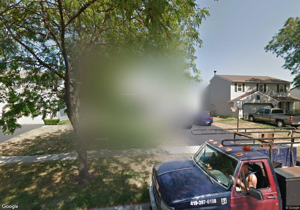
605 Bennington Dr Maumee, OH 43537
Estimated Value: $281,947 - $301,000
3
Beds
2
Baths
1,820
Sq Ft
$160/Sq Ft
Est. Value
About This Home
This home is located at 605 Bennington Dr, Maumee, OH 43537 and is currently estimated at $291,737, approximately $160 per square foot. 605 Bennington Dr is a home located in Lucas County with nearby schools including Fairfield Elementary School, Maumee Intermediate School, and Maumee Middle School.
Ownership History
Date
Name
Owned For
Owner Type
Purchase Details
Closed on
Jul 28, 2006
Sold by
Ballmer Diane M and Ballmer Joseph R
Bought by
Logan Denis C and Logan Laura L
Current Estimated Value
Home Financials for this Owner
Home Financials are based on the most recent Mortgage that was taken out on this home.
Original Mortgage
$134,800
Outstanding Balance
$81,195
Interest Rate
6.82%
Mortgage Type
Purchase Money Mortgage
Estimated Equity
$210,542
Purchase Details
Closed on
Aug 6, 2003
Sold by
Ballmer Joseph R and Ballmer Diane M
Bought by
Ballmer Diane M
Purchase Details
Closed on
Mar 26, 1993
Sold by
Lee Melvin and Lee Debbie L
Create a Home Valuation Report for This Property
The Home Valuation Report is an in-depth analysis detailing your home's value as well as a comparison with similar homes in the area
Home Values in the Area
Average Home Value in this Area
Purchase History
| Date | Buyer | Sale Price | Title Company |
|---|---|---|---|
| Logan Denis C | $168,500 | None Available | |
| Ballmer Diane M | -- | -- | |
| -- | $108,000 | -- |
Source: Public Records
Mortgage History
| Date | Status | Borrower | Loan Amount |
|---|---|---|---|
| Open | Logan Denis C | $134,800 |
Source: Public Records
Tax History Compared to Growth
Tax History
| Year | Tax Paid | Tax Assessment Tax Assessment Total Assessment is a certain percentage of the fair market value that is determined by local assessors to be the total taxable value of land and additions on the property. | Land | Improvement |
|---|---|---|---|---|
| 2024 | $2,740 | $84,455 | $11,060 | $73,395 |
| 2023 | $4,682 | $61,460 | $9,135 | $52,325 |
| 2022 | $4,162 | $61,460 | $9,135 | $52,325 |
| 2021 | $4,392 | $61,460 | $9,135 | $52,325 |
| 2020 | $4,273 | $53,445 | $7,840 | $45,605 |
| 2019 | $4,167 | $53,445 | $7,840 | $45,605 |
| 2018 | $3,825 | $53,445 | $7,840 | $45,605 |
| 2017 | $3,553 | $45,115 | $7,910 | $37,205 |
| 2016 | $3,514 | $128,900 | $22,600 | $106,300 |
| 2015 | $3,497 | $128,900 | $22,600 | $106,300 |
| 2014 | $3,242 | $44,240 | $7,770 | $36,470 |
| 2013 | $3,242 | $44,240 | $7,770 | $36,470 |
Source: Public Records
Map
Nearby Homes
- 611 Greenfield Dr
- 1539 Cass Rd
- 1409 Bradshaw Ct
- 1213 Hunt St
- 1301 Cass Rd
- 1172 Shelly Ave
- 541 Fairfield Park Dr
- 1441 Bradshaw Ct
- 538 Cambridge Park S
- 1138 Holgate Ave
- 422 Chesterfield Ln
- 54 Homestead Place Unit 54
- 911 River Rd
- 652 Mcintyre Ln
- 706 Waite Ave
- 4501 Thackeray Rd
- 306 Clinton St
- 1466 Wilderness Dr
- 716 Farrer St
- 1036 River Rd
- 611 Bennington Dr
- 601 Bennington Dr
- 615 Bennington Dr
- 604 Arlene Dr
- 608 Arlene Dr
- 600 Arlene Dr
- 612 Arlene Dr
- 621 Bennington Dr
- 604 Bennington Dr
- 551 Bennington Dr
- 608 Bennington Dr
- 600 Bennington Dr
- 616 Arlene Dr
- 612 Bennington Dr
- 528 Arlene Dr
- 625 Bennington Dr
- 616 Bennington Dr
- 552 Bennington Dr
- 620 Arlene Dr
- 524 Arlene Dr