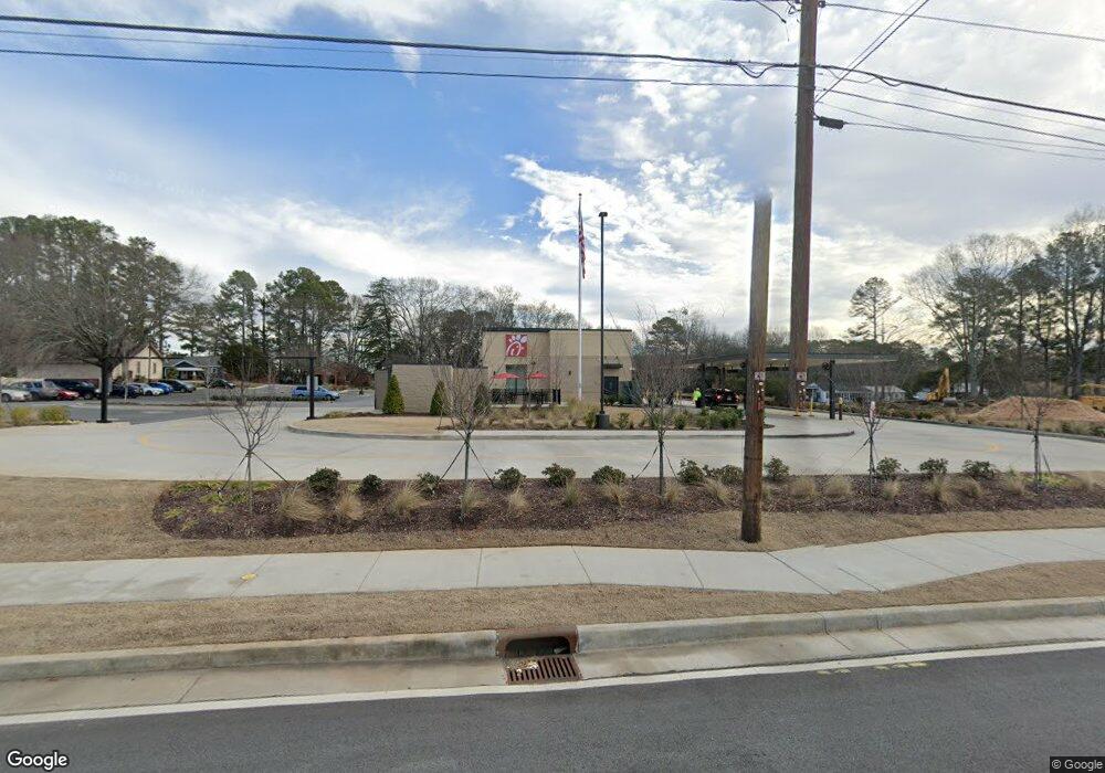
605 Big a Rd Toccoa, GA 30577
Estimated Value: $6,944,500
Studio
--
Bath
5,169
Sq Ft
$1,343/Sq Ft
Est. Value
About This Home
This home is located at 605 Big a Rd, Toccoa, GA 30577 and is currently estimated at $6,944,500, approximately $1,343 per square foot. 605 Big a Rd is a home located in Stephens County with nearby schools including Stephens County High School.
Ownership History
Date
Name
Owned For
Owner Type
Purchase Details
Closed on
Dec 30, 2022
Sold by
Toccoa Cfa Llc
Bought by
Pacific Commodities Llc
Current Estimated Value
Purchase Details
Closed on
May 11, 2022
Sold by
Iyami Llc
Bought by
Toccoa Cfa Llc and C/O Lisciotti Development Corp
Home Financials for this Owner
Home Financials are based on the most recent Mortgage that was taken out on this home.
Original Mortgage
$3,458,220
Interest Rate
4.67%
Mortgage Type
Mortgage Modification
Purchase Details
Closed on
Mar 18, 2019
Sold by
Mjr2serve Llc
Bought by
Iyami Llc
Purchase Details
Closed on
Mar 25, 2005
Sold by
Ge Capital Franchise Corp
Bought by
Mjr2serve
Home Financials for this Owner
Home Financials are based on the most recent Mortgage that was taken out on this home.
Original Mortgage
$570,000
Interest Rate
5.62%
Mortgage Type
Commercial
Purchase Details
Closed on
Jun 1, 1998
Bought by
<Buyer Info Not Present>
Create a Home Valuation Report for This Property
The Home Valuation Report is an in-depth analysis detailing your home's value as well as a comparison with similar homes in the area
Purchase History
| Date | Buyer | Sale Price | Title Company |
|---|---|---|---|
| Pacific Commodities Llc | $5,691,774 | -- | |
| Pacific Commodities Llc | $5,691,774 | -- | |
| Toccoa Cfa Llc | $610,000 | -- | |
| Iyami Llc | $370,000 | -- | |
| Mjr2serve | $600,000 | -- | |
| <Buyer Info Not Present> | $869,000 | -- |
Source: Public Records
Mortgage History
| Date | Status | Borrower | Loan Amount |
|---|---|---|---|
| Previous Owner | Toccoa Cfa Llc | $3,458,220 | |
| Previous Owner | Mjr2serve | $570,000 |
Source: Public Records
Tax History
| Year | Tax Paid | Tax Assessment Tax Assessment Total Assessment is a certain percentage of the fair market value that is determined by local assessors to be the total taxable value of land and additions on the property. | Land | Improvement |
|---|---|---|---|---|
| 2025 | $13,049 | $439,497 | $90,422 | $349,075 |
| 2024 | $15,668 | $439,497 | $90,422 | $349,075 |
| 2023 | $13,383 | $439,497 | $90,422 | $349,075 |
| 2022 | $4,406 | $148,000 | $43,364 | $104,636 |
| 2021 | $4,628 | $148,000 | $43,364 | $104,636 |
| 2018 | $8,595 | $271,048 | $75,460 | $195,588 |
| 2017 | $8,730 | $271,048 | $75,460 | $195,588 |
| 2016 | $8,595 | $271,048 | $75,460 | $195,588 |
Source: Public Records
Map
Nearby Homes
- 0 Hwy 17 Alt Unit 10577119
- 45 Hayes St
- 714 E Currahee St
- 59 Sunset Ln
- 122 King St
- 27 Hilltop Ln
- 132 Queen St
- 229 Hilltop Ln
- 0 Stephen Dr Unit 10662201
- 9 Poplar St
- 30 Moore Ave
- 148 Moreland Dr
- 84 Park St
- 389 Skyline Dr
- 110 Valley Rd
- 43 Pauline St
- 43 Mountain View Dr
- 29 Mountain View Dr
- 0 Valley Dr Unit 7675761
- 0 Valley Dr Unit 10600268
- 94 Norwood Ave
- 655 Big a Rd Unit 669
- 655 Big a Rd
- 669 Big a Rd
- 122 Norwood Ave
- 71 Norwood Ave
- 99 Norwood Ave
- 49 Norwood Ave
- 695 Big a Rd
- 335 Big a Rd
- 116 Norwood Ave
- 123 Norwood Ave
- 123 Norwood Ave
- 41 Norwood Ave
- 138 Letourneau Dr
- 703 Big a Rd
- 703 Big a Rd Unit B
- 703 Big a Rd Unit A
- 142 Letourneau Dr
- 174 Letourneau Dr
Your Personal Tour Guide
Ask me questions while you tour the home.