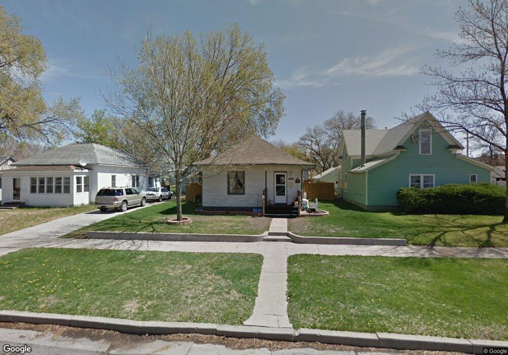
605 Big Horn Ave Alliance, NE 69301
Estimated Value: $137,000 - $167,000
2
Beds
1
Bath
1,505
Sq Ft
$100/Sq Ft
Est. Value
About This Home
This home is located at 605 Big Horn Ave, Alliance, NE 69301 and is currently estimated at $150,805, approximately $100 per square foot. 605 Big Horn Ave is a home located in Box Butte County with nearby schools including Alliance High School, St. Agnes Academy, and Immanuel Evangelical Lutheran School.
Ownership History
Date
Name
Owned For
Owner Type
Purchase Details
Closed on
Jun 17, 2009
Sold by
Braun Rebecca A and Braun Monte
Bought by
Zeller Thomas C
Current Estimated Value
Home Financials for this Owner
Home Financials are based on the most recent Mortgage that was taken out on this home.
Original Mortgage
$77,652
Outstanding Balance
$49,247
Interest Rate
4.84%
Mortgage Type
Purchase Money Mortgage
Estimated Equity
$101,558
Create a Home Valuation Report for This Property
The Home Valuation Report is an in-depth analysis detailing your home's value as well as a comparison with similar homes in the area
Home Values in the Area
Average Home Value in this Area
Purchase History
| Date | Buyer | Sale Price | Title Company |
|---|---|---|---|
| Zeller Thomas C | -- | -- | |
| Zeller Thomas C | -- | Kunzman Title Co |
Source: Public Records
Mortgage History
| Date | Status | Borrower | Loan Amount |
|---|---|---|---|
| Open | Zeller Thomas C | $77,652 | |
| Closed | Zeller Thomas C | $3,953 |
Source: Public Records
Tax History Compared to Growth
Tax History
| Year | Tax Paid | Tax Assessment Tax Assessment Total Assessment is a certain percentage of the fair market value that is determined by local assessors to be the total taxable value of land and additions on the property. | Land | Improvement |
|---|---|---|---|---|
| 2024 | $1,473 | $117,600 | $6,300 | $111,300 |
| 2023 | $2,022 | $117,600 | $6,300 | $111,300 |
| 2022 | $1,590 | $87,295 | $5,950 | $81,345 |
| 2021 | $1,609 | $87,295 | $5,950 | $81,345 |
| 2020 | $1,605 | $87,295 | $5,950 | $81,345 |
| 2019 | $1,567 | $87,295 | $5,950 | $81,345 |
| 2018 | $1,560 | $87,295 | $5,950 | $81,345 |
| 2017 | $1,526 | $82,205 | $4,550 | $77,655 |
| 2016 | $1,508 | $82,205 | $4,550 | $77,655 |
| 2015 | $1,486 | $77,840 | $4,550 | $73,290 |
| 2014 | $1,486 | $77,295 | $4,550 | $72,745 |
Source: Public Records
Map
Nearby Homes
- 420 Laramie Ave
- 719 Toluca Ave
- 621 Emerson Ave
- 316 Big Horn Ave
- 907 Toluca Ave
- 904 Laramie Ave
- 924 Big Horn Ave
- 911 Emerson Ave
- 819 Black Hills Ave
- 615 Sweetwater Ave
- 1019 Laramie Ave
- 936 Platte Ave
- 1239 Toluca Ave
- 1021 Dakota Ave
- 917 Missouri Ave
- 613 Mississippi Ave
- 1004 Missouri Ave
- 667 E 9th St
- 719 E 8th St
- 620 Hudson Ave
- 611 Big Horn Ave
- 601 Big Horn Ave
- 615 Big Horn Ave
- 619 Big Horn Ave
- 321 W 6th St
- 606 Cheyenne Ave
- 612 Cheyenne Ave
- 616 Cheyenne Ave
- 623 Big Horn Ave
- 519 Big Horn Ave
- 620 Cheyenne Ave
- 608 Big Horn Ave
- 604 Big Horn Ave
- 610 Big Horn Ave
- 524 Cheyenne Ave
- 614 Big Horn Ave
- 624 Cheyenne Ave
- 515 Big Horn Ave
- 520 Cheyenne Ave
- 618 Big Horn Ave