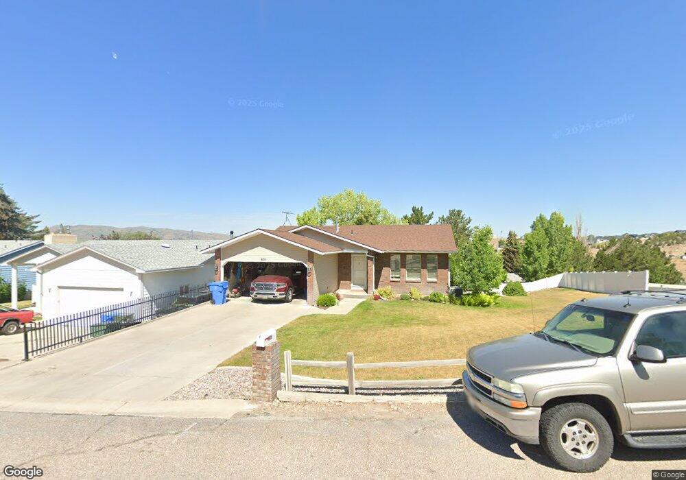
605 Bitteroot Dr Pocatello, ID 83201
Northeast Pocatello NeighborhoodEstimated Value: $285,000 - $423,000
3
Beds
3
Baths
2,148
Sq Ft
$170/Sq Ft
Est. Value
About This Home
This home is located at 605 Bitteroot Dr, Pocatello, ID 83201 and is currently estimated at $364,969, approximately $169 per square foot. 605 Bitteroot Dr is a home located in Bannock County with nearby schools including Washington Elementary School, Franklin Middle School, and Century High School.
Ownership History
Date
Name
Owned For
Owner Type
Purchase Details
Closed on
Jul 12, 2024
Sold by
Craney Jeff L and Craney Lori A
Bought by
Rhett Katrina and Ashley Robert
Current Estimated Value
Home Financials for this Owner
Home Financials are based on the most recent Mortgage that was taken out on this home.
Original Mortgage
$200,000
Outstanding Balance
$197,629
Interest Rate
7.03%
Mortgage Type
New Conventional
Estimated Equity
$167,340
Create a Home Valuation Report for This Property
The Home Valuation Report is an in-depth analysis detailing your home's value as well as a comparison with similar homes in the area
Home Values in the Area
Average Home Value in this Area
Purchase History
| Date | Buyer | Sale Price | Title Company |
|---|---|---|---|
| Rhett Katrina | -- | Flying S Title And Escrow |
Source: Public Records
Mortgage History
| Date | Status | Borrower | Loan Amount |
|---|---|---|---|
| Open | Rhett Katrina | $200,000 |
Source: Public Records
Tax History Compared to Growth
Tax History
| Year | Tax Paid | Tax Assessment Tax Assessment Total Assessment is a certain percentage of the fair market value that is determined by local assessors to be the total taxable value of land and additions on the property. | Land | Improvement |
|---|---|---|---|---|
| 2024 | $2,247 | $299,014 | $74,000 | $225,014 |
| 2023 | $2,608 | $319,198 | $74,000 | $245,198 |
| 2022 | $2,608 | $248,943 | $45,000 | $203,943 |
| 2021 | $2,115 | $248,943 | $45,000 | $203,943 |
| 2020 | $1,523 | $191,220 | $36,450 | $154,770 |
| 2019 | $1,738 | $177,796 | $44,106 | $133,690 |
| 2018 | $1,602 | $142,701 | $29,404 | $113,297 |
| 2017 | $1,590 | $142,701 | $29,404 | $113,297 |
| 2016 | $1,577 | $142,701 | $29,404 | $113,297 |
| 2015 | $1,528 | $0 | $0 | $0 |
| 2012 | -- | $133,226 | $23,523 | $109,703 |
Source: Public Records
Map
Nearby Homes
- 1200 Hospital Way
- 367 La Montagna Strada
- 2946 Birdie Thompson Dr
- 2702 Birdie Thompson Dr
- 291 La Valle Strada
- 3440 Somerset Dr
- TBD Eagles Landing
- 2303 Siena Dr
- 508 Vista Dr
- 2338 Siena Dr
- 514 Vista Dr
- 4444 E Center St
- 4456 Center St
- 564 Vista Dr
- 140 N 19th Ave
- 4492 E Center St
- 1818 E Terry St
- 4514 E Center St
- 1824 E Center St
- 1921 E Lander St
- 625 Bitteroot Dr
- 625 Bitterroot Dr
- 606 Bitteroot Dr
- 606 Bitterroot Dr
- 645 Bitterroot Dr
- 2515 Woodhill Way
- 2505 Woodhill Way
- 620 Bitteroot Dr
- 2601 Castle Peak Way
- 640 Bitteroot Dr
- 640 Bitterroot Dr
- 2525 Woodhill Way
- 660 Bitteroot Dr
- 710 Bitteroot Dr
- 710 Bitterroot Dr
- 2830 Caribou Way
- 2500 Woodhill Way
- 2810 Caribou Way
- 2850 Caribou Way
- 2535 Woodhill Way