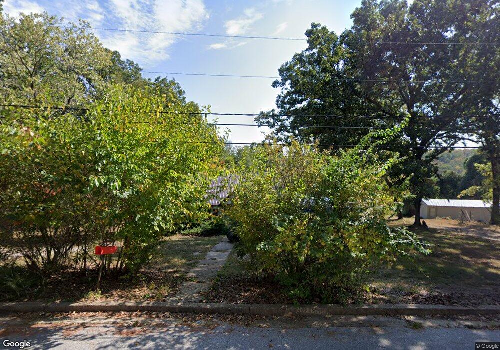
605 Broadway St Waynesville, MO 65583
Estimated Value: $88,000 - $161,000
2
Beds
1
Bath
673
Sq Ft
$170/Sq Ft
Est. Value
About This Home
This home is located at 605 Broadway St, Waynesville, MO 65583 and is currently estimated at $114,110, approximately $169 per square foot. 605 Broadway St is a home located in Pulaski County with nearby schools including Waynesville East Elementary School, Freedom Elementary School, and Waynesville Sixth Grade Center.
Ownership History
Date
Name
Owned For
Owner Type
Purchase Details
Closed on
Mar 3, 2015
Sold by
Macy Macy and Nelson Gregory Wayne
Bought by
Renno Douglas J and Renno Linda K
Current Estimated Value
Home Financials for this Owner
Home Financials are based on the most recent Mortgage that was taken out on this home.
Original Mortgage
$25,995
Outstanding Balance
$19,851
Interest Rate
3.6%
Estimated Equity
$94,259
Purchase Details
Closed on
Aug 19, 2009
Sold by
Senovich Sharon
Bought by
Patterson Macy and Senovich John
Purchase Details
Closed on
Jul 22, 2008
Sold by
Vogt Gary A
Bought by
Senovich Sharon
Create a Home Valuation Report for This Property
The Home Valuation Report is an in-depth analysis detailing your home's value as well as a comparison with similar homes in the area
Home Values in the Area
Average Home Value in this Area
Purchase History
| Date | Buyer | Sale Price | Title Company |
|---|---|---|---|
| Renno Douglas J | -- | -- | |
| Patterson Macy | -- | None Available | |
| Senovich Sharon | -- | None Available |
Source: Public Records
Mortgage History
| Date | Status | Borrower | Loan Amount |
|---|---|---|---|
| Open | Renno Douglas J | $25,995 |
Source: Public Records
Tax History Compared to Growth
Tax History
| Year | Tax Paid | Tax Assessment Tax Assessment Total Assessment is a certain percentage of the fair market value that is determined by local assessors to be the total taxable value of land and additions on the property. | Land | Improvement |
|---|---|---|---|---|
| 2024 | $348 | $8,227 | $5,035 | $3,192 |
| 2023 | $340 | $8,227 | $5,035 | $3,192 |
| 2022 | $337 | $8,227 | $5,035 | $3,192 |
| 2021 | $333 | $8,227 | $5,035 | $3,192 |
| 2020 | $334 | $10,725 | $0 | $0 |
| 2019 | $334 | $8,075 | $0 | $0 |
| 2018 | $334 | $8,075 | $0 | $0 |
| 2017 | $330 | $10,725 | $0 | $0 |
| 2016 | $314 | $8,080 | $0 | $0 |
| 2015 | -- | $8,080 | $0 | $0 |
| 2014 | $308 | $8,080 | $0 | $0 |
Source: Public Records
Map
Nearby Homes
- 508 Main St
- 400 Main St
- 0 El Loma St
- 8 Nathan St
- 103 S Newport Ln
- 100 S Newport Ln
- 0 Lot 1 Westwinds S D
- 412 Fleetwood Dr
- 307 Ellis Ave
- 312 Summit Ave
- 114 North St
- 20775 Reporter Rd
- 1201 Hull Valley Dr
- 107 Hull Dr
- 212 Tremont Dr
- 400 S Lynn St
- 0 S Lynn St Unit MAR24022239
- 24430 Sounder Ln Unit B
- 123 Hull Dr
- 403 North St
- 205 N Oak St
- 607 Broadway St
- 600 Main St
- 602 Main St
- 604 Broadway St
- 600 Broadway St
- 206 N Oak St
- 512 Main St
- 612 Old Route 66
- 612 U S Route 66 Unit 19
- 612 U S Route 66 Unit 5
- 612 U S Route 66 Unit 13
- 612 U S Route 66 Unit 10
- 612 Route 66 Unit 1-20
- 606 Broadway St
- 0 Lockhart (Lot 132) Unit 12060595
- 612 Historic 66 W Unit 18
- 612 Historic 66 W Unit s 1-20
- 612 Historic 66 W
- 509 Broadway St