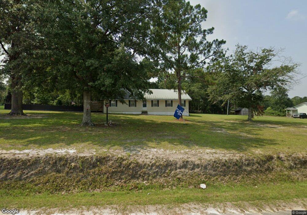
605 Columbus Rd Pearson, GA 31642
Estimated Value: $76,000 - $157,000
--
Bed
1
Bath
1,500
Sq Ft
$80/Sq Ft
Est. Value
About This Home
This home is located at 605 Columbus Rd, Pearson, GA 31642 and is currently estimated at $120,251, approximately $80 per square foot. 605 Columbus Rd is a home with nearby schools including Pearson Elementary School, Willacoochee Elementary School, and Atkinson County High School.
Ownership History
Date
Name
Owned For
Owner Type
Purchase Details
Closed on
Aug 28, 2023
Sold by
Colony Bank
Bought by
Sirmans Kenneth Rowan
Current Estimated Value
Purchase Details
Closed on
Aug 27, 2015
Sold by
Sirmans Rowan
Bought by
Sirmans Kenneth Rowan
Purchase Details
Closed on
Aug 12, 1997
Bought by
Sirmans Rowan and Sirmans Rebecca
Create a Home Valuation Report for This Property
The Home Valuation Report is an in-depth analysis detailing your home's value as well as a comparison with similar homes in the area
Home Values in the Area
Average Home Value in this Area
Purchase History
| Date | Buyer | Sale Price | Title Company |
|---|---|---|---|
| Sirmans Kenneth Rowan | -- | -- | |
| Sirmans Kenneth Rowan | -- | -- | |
| Sirmans Rowan | $27,300 | -- |
Source: Public Records
Tax History Compared to Growth
Tax History
| Year | Tax Paid | Tax Assessment Tax Assessment Total Assessment is a certain percentage of the fair market value that is determined by local assessors to be the total taxable value of land and additions on the property. | Land | Improvement |
|---|---|---|---|---|
| 2024 | $745 | $26,357 | $1,951 | $24,406 |
| 2023 | $803 | $26,357 | $1,951 | $24,406 |
| 2022 | $803 | $26,357 | $1,951 | $24,406 |
| 2021 | $847 | $26,357 | $1,951 | $24,406 |
| 2020 | $847 | $26,357 | $1,951 | $24,406 |
| 2019 | $848 | $26,357 | $1,951 | $24,406 |
| 2018 | $852 | $26,357 | $1,951 | $24,406 |
| 2017 | $848 | $26,357 | $1,951 | $24,406 |
| 2016 | $848 | $26,357 | $1,951 | $24,406 |
| 2015 | -- | $26,357 | $1,951 | $24,406 |
| 2014 | -- | $26,357 | $1,951 | $24,406 |
Source: Public Records
Map
Nearby Homes
- 684 Columbus Rd
- 0 Honeysuckle Ln Unit 10623320
- 00 Us-441 S
- 00 Cogdell Hwy
- N/A Fernwood Dr
- 53 Apple Blossom Rd
- 35 Fawn Ln
- 6923 Willacoochee Hwy
- 76 Bocage Dr
- 70 Angie Dr
- 380 Brookewood Dr
- 2828 Baymeadows Dr W
- 110 Shortrun Ln
- 2987 Baymeadows Dr W
- 00 W Bay Meadows Dr
- 00 Harvey Vickers Rd
- 211 Tinsley St
- 166 Tempa Ln
- 104 Tempa Ln
- 1635 Logan Dr
- 571 Columbus Rd
- 643 Columbus Rd
- 606 Columbus Rd
- 652 Columbus Rd
- 535 Columbus Rd
- 681 Columbus Rd
- 33 Hamilton Hill Ln
- 741 Columbus Rd
- 716 Columbus Rd
- 455 Columbus Rd
- 815 Columbus Rd
- 176 Hamilton Hill Ln
- 374 Columbus Rd
- 288 Columbus Rd
- 224 Hamilton Hill Ln
- 233 Hurlbert Ln
- 1179 Columbus Rd
- 4255 Old Douglas Hwy
- 4115 Old Douglas Hwy
- 4397 Old Douglas Hwy