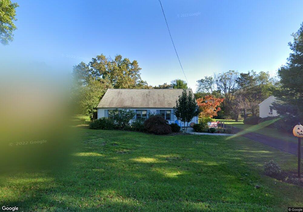
605 Cowpath Rd Lansdale, PA 19446
Estimated Value: $320,441 - $432,000
2
Beds
1
Bath
1,260
Sq Ft
$301/Sq Ft
Est. Value
About This Home
This home is located at 605 Cowpath Rd, Lansdale, PA 19446 and is currently estimated at $379,610, approximately $301 per square foot. 605 Cowpath Rd is a home located in Montgomery County with nearby schools including Bridle Path Elementary School, Penndale Middle School, and North Penn Senior High School.
Ownership History
Date
Name
Owned For
Owner Type
Purchase Details
Closed on
Nov 10, 2020
Sold by
Oplinger Jon C
Bought by
Bower Sean and Kannengieszer Steven J
Current Estimated Value
Home Financials for this Owner
Home Financials are based on the most recent Mortgage that was taken out on this home.
Original Mortgage
$229,090
Interest Rate
2.8%
Mortgage Type
FHA
Purchase Details
Closed on
Feb 20, 2017
Sold by
Oplinger Jon C
Bought by
Oplinger Jon C
Purchase Details
Closed on
Jan 1, 1952
Bought by
Oplinger Albert M and Oplinger Betty L
Create a Home Valuation Report for This Property
The Home Valuation Report is an in-depth analysis detailing your home's value as well as a comparison with similar homes in the area
Home Values in the Area
Average Home Value in this Area
Purchase History
| Date | Buyer | Sale Price | Title Company |
|---|---|---|---|
| Bower Sean | $237,000 | None Available | |
| Oplinger Jon C | -- | None Available | |
| Oplinger Albert M | -- | -- |
Source: Public Records
Mortgage History
| Date | Status | Borrower | Loan Amount |
|---|---|---|---|
| Previous Owner | Bower Sean | $229,090 |
Source: Public Records
Tax History Compared to Growth
Tax History
| Year | Tax Paid | Tax Assessment Tax Assessment Total Assessment is a certain percentage of the fair market value that is determined by local assessors to be the total taxable value of land and additions on the property. | Land | Improvement |
|---|---|---|---|---|
| 2025 | $3,344 | $89,660 | $46,770 | $42,890 |
| 2024 | $3,344 | $89,660 | $46,770 | $42,890 |
| 2023 | $3,191 | $89,660 | $46,770 | $42,890 |
| 2022 | $3,079 | $89,660 | $46,770 | $42,890 |
| 2021 | $2,895 | $89,660 | $46,770 | $42,890 |
| 2020 | $2,818 | $89,660 | $46,770 | $42,890 |
| 2019 | $2,766 | $89,660 | $46,770 | $42,890 |
| 2018 | $479 | $89,660 | $46,770 | $42,890 |
| 2017 | $2,647 | $89,660 | $46,770 | $42,890 |
| 2016 | $2,613 | $89,660 | $46,770 | $42,890 |
| 2015 | $2,562 | $89,660 | $46,770 | $42,890 |
| 2014 | $2,495 | $89,660 | $46,770 | $42,890 |
Source: Public Records
Map
Nearby Homes
- 103 Dylan Dr Unit 45
- 107 David Ln
- 1204 Vilsmeier Rd
- 405 Country Club Dr
- 304 Victoria Dr
- 100 Victoria Dr
- 1107 Lansdale Ave
- 1114 W Thomas Rd
- 6 Lantern Ln
- 1103 Lansdale Ave
- 1823 N Line St
- 1014 Lansdale Ave
- 110 Country Club Dr
- 307 Livingston Ct
- 141 Wentworth Dr
- 101 Pioneer Dr
- 000 Lenape Dr
- 203 Franklin Ct
- 2111 Hidden Meadow Dr
- 302 Hancock Ct