605 Cox Ct Bellvue, CO 80512
Estimated Value: $638,620 - $1,277,000
4
Beds
2
Baths
2,375
Sq Ft
$372/Sq Ft
Est. Value
About This Home
This home is located at 605 Cox Ct, Bellvue, CO 80512 and is currently estimated at $884,655, approximately $372 per square foot. 605 Cox Ct is a home located in Larimer County with nearby schools including Stove Prairie Elementary School, Cache La Poudre Middle School, and Poudre High School.
Ownership History
Date
Name
Owned For
Owner Type
Purchase Details
Closed on
Jun 12, 2000
Sold by
Cox Stephen K Phyllis A
Bought by
Nichols Paul W and Nichols Ann A
Current Estimated Value
Home Financials for this Owner
Home Financials are based on the most recent Mortgage that was taken out on this home.
Original Mortgage
$315,000
Outstanding Balance
$111,682
Interest Rate
8.3%
Estimated Equity
$772,973
Create a Home Valuation Report for This Property
The Home Valuation Report is an in-depth analysis detailing your home's value as well as a comparison with similar homes in the area
Purchase History
| Date | Buyer | Sale Price | Title Company |
|---|---|---|---|
| Nichols Paul W | $420,000 | -- |
Source: Public Records
Mortgage History
| Date | Status | Borrower | Loan Amount |
|---|---|---|---|
| Open | Nichols Paul W | $315,000 |
Source: Public Records
Tax History
| Year | Tax Paid | Tax Assessment Tax Assessment Total Assessment is a certain percentage of the fair market value that is determined by local assessors to be the total taxable value of land and additions on the property. | Land | Improvement |
|---|---|---|---|---|
| 2025 | $3,396 | $38,013 | $10,188 | $27,825 |
| 2024 | $3,210 | $50,330 | $6,365 | $43,965 |
| 2022 | $2,751 | $39,907 | $8,340 | $31,567 |
| 2021 | $2,774 | $41,055 | $8,580 | $32,475 |
| 2020 | $1,897 | $30,109 | $10,725 | $19,384 |
| 2019 | $1,906 | $30,109 | $10,725 | $19,384 |
| 2018 | $1,600 | $27,144 | $7,848 | $19,296 |
| 2017 | $2,169 | $27,144 | $7,848 | $19,296 |
| 2016 | $1,892 | $23,546 | $3,821 | $19,725 |
| 2015 | $1,876 | $23,540 | $3,820 | $19,720 |
| 2014 | $1,192 | $14,850 | $3,980 | $10,870 |
Source: Public Records
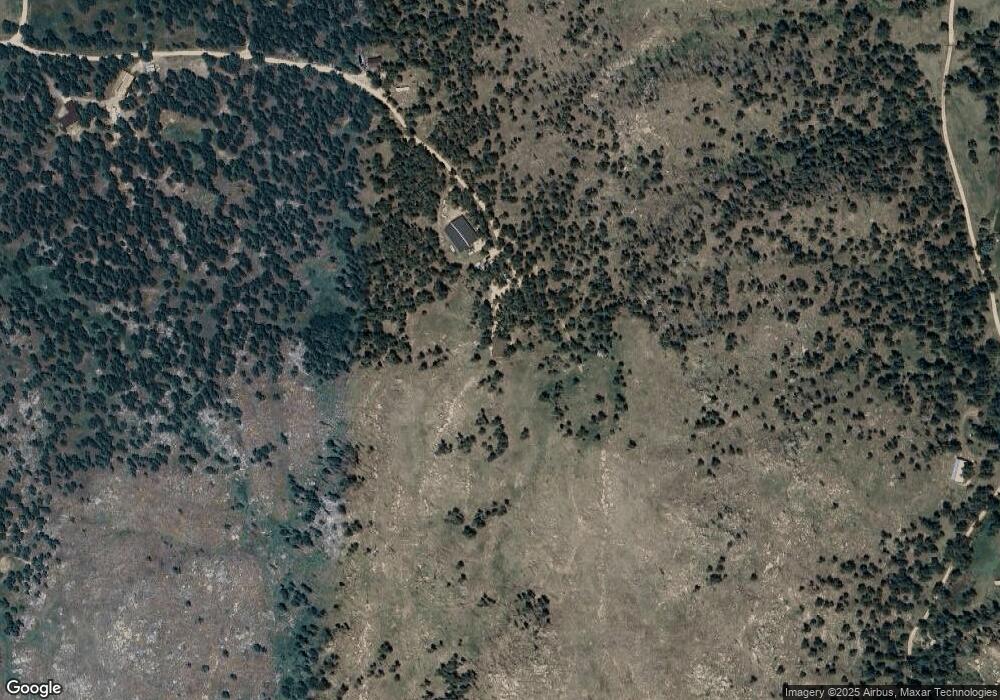
Map
Nearby Homes
- 865 Redstone Dr
- 440 La Hermosa Dr
- 2565 Davis Ranch Rd
- 620 Davis Ranch Rd
- 348 La Escena Dr
- 685 La Escena Dr
- 3235 Davis Ranch Rd
- 1390 Walking Wind Dr
- 0 Crocus Dr
- 275 Crocus Dr
- 3434 Davis Ranch Rd
- 2518 Whale Rock Rd
- 4119 Davis Ranch Rd
- 1600 Whale Rock Rd
- 296 Ridge Row Dr
- 0 Rist Creek Rd Unit 3529855
- 0 Rist Creek Rd Unit REC6953963
- 498 Helms Deep Rd
- 654 Hernia Hill Trail
- 898 Hernia Hill Trail
- 380 Cox Ct
- 244 George Stadler Rd
- 260 Cox Ct
- 560 Redstone Dr
- 256 George Stadler Rd
- 147 Cox Ct
- 680 Redstone Dr
- 183 George Stadler Rd
- 138 Cox Ct
- 585 Redstone Dr
- 521 Redstone Dr
- 727 Redstone Dr
- 259 George Stadler Rd
- 840 Redstone Dr
- 380 Redstone Dr
- 467 Redstone Dr
- 126 Cox Ct
- 1970 Davis Ranch Rd
- 920 Redstone Dr
- 2048 Davis Ranch Rd
Your Personal Tour Guide
Ask me questions while you tour the home.