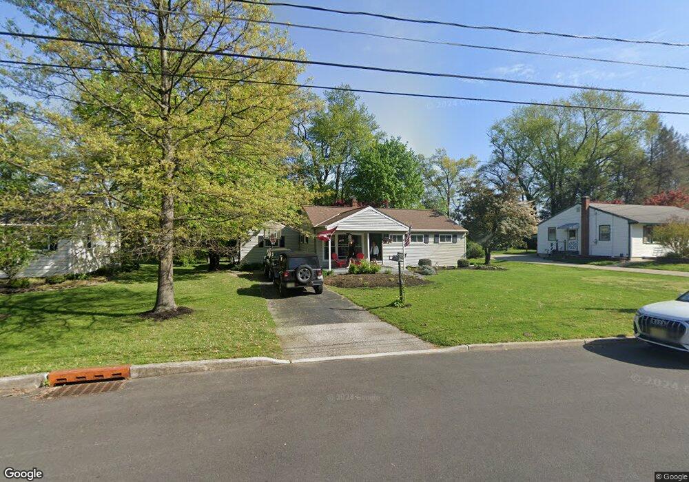
605 Devon Rd Moorestown, NJ 08057
Estimated Value: $413,396 - $512,000
3
Beds
1
Bath
1,474
Sq Ft
$312/Sq Ft
Est. Value
About This Home
This home is located at 605 Devon Rd, Moorestown, NJ 08057 and is currently estimated at $460,099, approximately $312 per square foot. 605 Devon Rd is a home located in Burlington County with nearby schools including George C. Baker Elementary School, Moorestown Upper Elementary School, and William Allen Middle School.
Ownership History
Date
Name
Owned For
Owner Type
Purchase Details
Closed on
Oct 26, 2001
Sold by
Flanagan James J and Flanagan Mary M
Bought by
Hahn Sharon L
Current Estimated Value
Home Financials for this Owner
Home Financials are based on the most recent Mortgage that was taken out on this home.
Original Mortgage
$100,000
Outstanding Balance
$39,229
Interest Rate
6.77%
Estimated Equity
$420,870
Create a Home Valuation Report for This Property
The Home Valuation Report is an in-depth analysis detailing your home's value as well as a comparison with similar homes in the area
Home Values in the Area
Average Home Value in this Area
Purchase History
| Date | Buyer | Sale Price | Title Company |
|---|---|---|---|
| Hahn Sharon L | $166,500 | Infinity Title Agency Inc |
Source: Public Records
Mortgage History
| Date | Status | Borrower | Loan Amount |
|---|---|---|---|
| Open | Hahn Sharon L | $100,000 |
Source: Public Records
Tax History
| Year | Tax Paid | Tax Assessment Tax Assessment Total Assessment is a certain percentage of the fair market value that is determined by local assessors to be the total taxable value of land and additions on the property. | Land | Improvement |
|---|---|---|---|---|
| 2025 | $5,731 | $202,000 | $118,200 | $83,800 |
| 2024 | $5,557 | $202,000 | $118,200 | $83,800 |
| 2023 | $5,557 | $202,000 | $118,200 | $83,800 |
| 2022 | $5,500 | $202,000 | $118,200 | $83,800 |
| 2021 | $5,428 | $202,000 | $118,200 | $83,800 |
| 2020 | $5,393 | $202,000 | $118,200 | $83,800 |
| 2019 | $5,298 | $202,000 | $118,200 | $83,800 |
| 2018 | $5,155 | $202,000 | $118,200 | $83,800 |
| 2017 | $5,199 | $202,000 | $118,200 | $83,800 |
| 2016 | $5,181 | $202,000 | $118,200 | $83,800 |
| 2015 | $5,119 | $202,000 | $118,200 | $83,800 |
| 2014 | $4,860 | $202,000 | $118,200 | $83,800 |
Source: Public Records
Map
Nearby Homes
- 15 Circle Dr
- 149 Chalkboard Ct
- 206 E Camden Ave
- 316 Farmdale Rd
- 141 Chalkboard Ct Unit 141
- 401 W 3rd St
- 307 Fairview Ave
- 11 Errickson Ave
- 21 N Lenola Rd
- 5 Vincent Way
- 27 Domenica Dr
- 93 Westbrook Dr
- 206 Crider Ave Unit 206
- 601 Stratford Dr
- 543 Bethel Ave
- 444 Shady Ln
- 506 N Garfield Ave
- 620 N Lincoln Ave
- 15 W Close Unit 15
- 22 E Close Unit 22
- 607 Devon Rd
- 609 Devon Rd
- 601 Devon Rd
- 604 Devon Rd
- 606 Devon Rd
- 611 Devon Rd
- 599 Devon Rd
- 602 Devon Rd
- 608 Devon Rd
- 613 Devon Rd
- 555 Devon Rd
- 605 Covington Terrace
- 607 Covington Terrace
- 615 Devon Rd
- 310 N Colonial Ridge
- 603 Covington Terrace
- 541 Devon Rd
- 610 Devon Rd
- 609 Covington Terrace
- 300 N Colonial Ridge
Your Personal Tour Guide
Ask me questions while you tour the home.