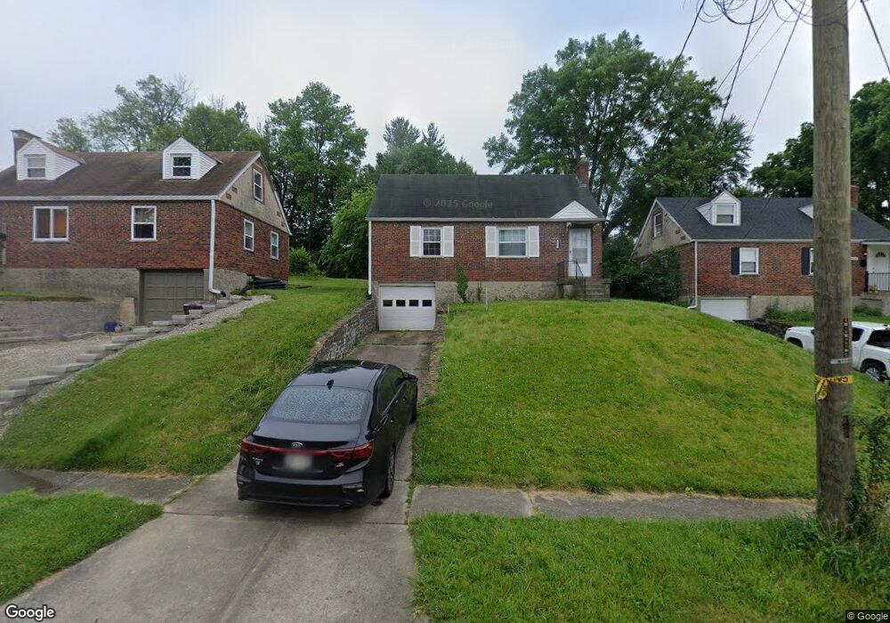
605 Dottie Ct Cincinnati, OH 45215
Estimated Value: $115,000 - $225,000
3
Beds
1
Bath
825
Sq Ft
$230/Sq Ft
Est. Value
About This Home
This home is located at 605 Dottie Ct, Cincinnati, OH 45215 and is currently estimated at $189,383, approximately $229 per square foot. 605 Dottie Ct is a home located in Hamilton County with nearby schools including Reading Community High School, Saints Peter and Paul Academy, and Mount Notre Dame High School.
Ownership History
Date
Name
Owned For
Owner Type
Purchase Details
Closed on
Sep 18, 2014
Sold by
Heithaus Richard J and Heithaus Charmaine M
Bought by
Rogers Patricia Eaton
Current Estimated Value
Purchase Details
Closed on
Jul 10, 2006
Sold by
Heithaus Richard J and Heithaus Charmaine M
Bought by
Heithaus Richard J and Heithaus Charmaine M
Create a Home Valuation Report for This Property
The Home Valuation Report is an in-depth analysis detailing your home's value as well as a comparison with similar homes in the area
Home Values in the Area
Average Home Value in this Area
Purchase History
| Date | Buyer | Sale Price | Title Company |
|---|---|---|---|
| Rogers Patricia Eaton | $50,000 | Attorney | |
| Heithaus Richard J | -- | None Available |
Source: Public Records
Tax History Compared to Growth
Tax History
| Year | Tax Paid | Tax Assessment Tax Assessment Total Assessment is a certain percentage of the fair market value that is determined by local assessors to be the total taxable value of land and additions on the property. | Land | Improvement |
|---|---|---|---|---|
| 2024 | $2,593 | $47,751 | $11,872 | $35,879 |
| 2023 | $2,588 | $47,751 | $11,872 | $35,879 |
| 2022 | $2,349 | $33,653 | $10,287 | $23,366 |
| 2021 | $2,010 | $33,653 | $10,287 | $23,366 |
| 2020 | $1,982 | $33,653 | $10,287 | $23,366 |
| 2019 | $1,930 | $29,782 | $9,104 | $20,678 |
| 2018 | $1,931 | $29,782 | $9,104 | $20,678 |
| 2017 | $1,845 | $29,782 | $9,104 | $20,678 |
| 2016 | $1,763 | $28,242 | $8,922 | $19,320 |
| 2015 | $1,755 | $28,242 | $8,922 | $19,320 |
| 2014 | $1,542 | $28,242 | $8,922 | $19,320 |
| 2013 | $1,028 | $28,820 | $9,104 | $19,716 |
Source: Public Records
Map
Nearby Homes
- 636 Maple Dr
- 796 Kenray Ct
- 0 Hill St Unit 1616370
- 2558 Apple Ridge Ln
- L Apple Ridge Ln
- 797 4th St
- 310 E Vine St
- 2127 Longmeadow Ln
- 1246 Thurnridge Dr
- 69 Orchard Knoll Dr
- 17 Maple St
- 234 Mcguire Ln
- 8745 Reading Rd
- 2920 E Galbraith Rd
- 1521 Hunt Rd
- 1013 Market St
- 116 Pike St
- 1194 Fuhrman Rd
- 134 Walnut St
- 2281 E Galbraith Rd