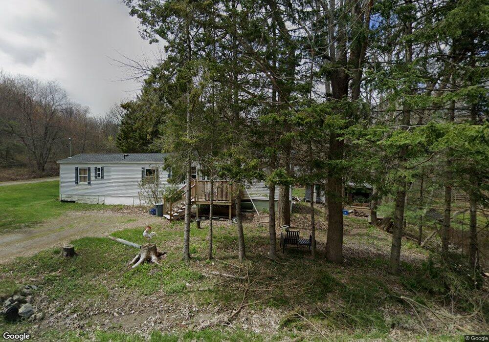
605 Dow Rd Orrington, ME 04474
Estimated Value: $314,000 - $427,000
--
Bed
--
Bath
--
Sq Ft
2.5
Acres
About This Home
This home is located at 605 Dow Rd, Orrington, ME 04474 and is currently estimated at $359,544. 605 Dow Rd is a home located in Penobscot County with nearby schools including Center Drive School.
Ownership History
Date
Name
Owned For
Owner Type
Purchase Details
Closed on
May 12, 2009
Sold by
Shaw Carleton B
Bought by
Stewart Scott A and Stewart Kandace D
Current Estimated Value
Home Financials for this Owner
Home Financials are based on the most recent Mortgage that was taken out on this home.
Original Mortgage
$7,000
Interest Rate
4.83%
Mortgage Type
Commercial
Create a Home Valuation Report for This Property
The Home Valuation Report is an in-depth analysis detailing your home's value as well as a comparison with similar homes in the area
Home Values in the Area
Average Home Value in this Area
Purchase History
| Date | Buyer | Sale Price | Title Company |
|---|---|---|---|
| Stewart Scott A | -- | -- |
Source: Public Records
Mortgage History
| Date | Status | Borrower | Loan Amount |
|---|---|---|---|
| Closed | Stewart Scott A | $35,000 | |
| Closed | Stewart Scott A | $7,000 | |
| Open | Stewart Scott A | $103,500 |
Source: Public Records
Tax History Compared to Growth
Tax History
| Year | Tax Paid | Tax Assessment Tax Assessment Total Assessment is a certain percentage of the fair market value that is determined by local assessors to be the total taxable value of land and additions on the property. | Land | Improvement |
|---|---|---|---|---|
| 2024 | $3,275 | $300,500 | $50,800 | $249,700 |
| 2023 | $3,122 | $283,800 | $47,300 | $236,500 |
| 2022 | $3,236 | $253,800 | $47,300 | $206,500 |
| 2021 | $3,395 | $226,300 | $47,300 | $179,000 |
| 2020 | $3,417 | $214,900 | $47,300 | $167,600 |
| 2019 | $3,417 | $214,900 | $47,300 | $167,600 |
| 2018 | $2,987 | $214,900 | $47,300 | $167,600 |
| 2017 | $2,987 | $214,900 | $47,300 | $167,600 |
| 2016 | $2,669 | $186,000 | $44,800 | $141,200 |
| 2015 | $2,662 | $185,500 | $44,800 | $140,700 |
| 2014 | $2,627 | $183,100 | $44,800 | $138,300 |
| 2013 | $2,463 | $183,100 | $44,800 | $138,300 |
Source: Public Records
Map
Nearby Homes
- 21 Betts Rd
- 101 Oak Hill Rd
- 473 Center Dr
- 290 Center Dr
- Map4Lot3 E Bucksport Rd
- 245 Center Dr
- 309 Hoxie Hill Rd
- 173 Center Dr
- Lot.19 Betts Rd
- 1002 River Rd
- 8 Bartlett Cove
- 38 Bartlett Cove Dr
- 12 Harvest Dr
- 119 Mill Creek Rd
- 1739 River Rd
- 38 Harvest Dr
- Map4Lot11 Center Dr
- 900 Brewer Lake Rd
- 518 Betts Rd
- Lot 3 00 Stonewall Dr